category-icon

Wschodnia Polska Część Karpat 2013

1019 km
232 h 21 min
7365 m
7361 m
Polska, małopolskie
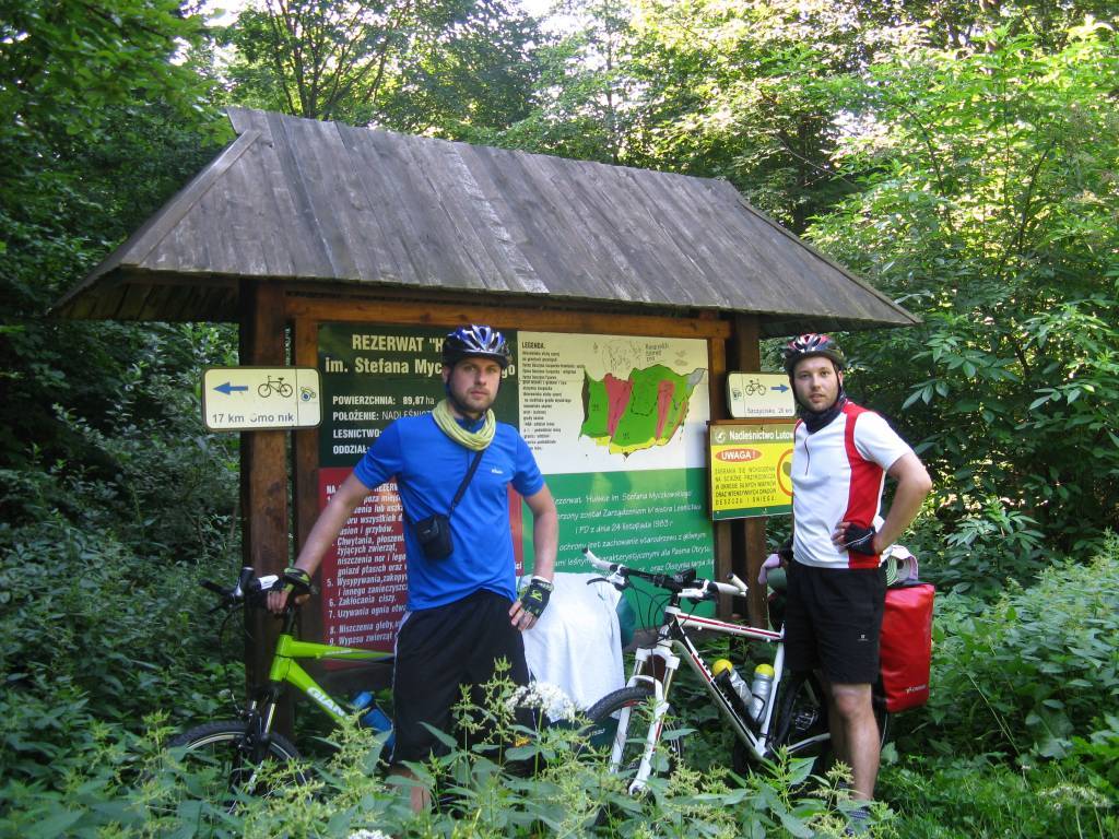
Zdjęcie 1

Route characteristics

2013-07-29
Polska, małopolskie
category-icon
1019 km
7365 m
7361 m
232 h 21 min
2.2/6

Comments

NA TYCH TRASACH PRZYDA CI SIĘ MAPOPRZEWODNIK LUB MAPA Z NASZEJ APLIKACJI

Zakopane and Surroundings
Trips in the Tatra Mountains and Podhale
The offline map “Zakopane and Surroundings” is a practical guide for tourists and active travelers who want to explore the most beautiful parts of Podhale and the Tatra Mountains. It covers diverse areas around Zakopane – from Tatra valleys and foothill trails, through scenic ridges, to charming Podhale villages – offering a rich network of cycling routes (including numerous loop trails) as well as hiking paths. The map also highlights the most interesting places in the region – from popular valleys and viewpoints to natural and tourist attractions – making it easy to plan trips and discover the charm of Podhale without the need for internet access.
HikingBike trails

50
243
Mapoprzewodnik
Near Krakow
Near Krakow
Local Tourism Organization of the Kraków County “Near Krakow”
The offline map “Pod Krakowem” (“Near Krakow”) is a practical guide for tourists and active travelers who want to explore the most interesting corners around Krakow. It covers diverse regions, such as the Prądnik Valley, the surroundings of Ojcowski National Park, Podgórze Wielickie, areas along the Vistula River, and the Krzeszowice region, offering a rich network of hiking and cycling routes. The map also highlights numerous recommended places – from tourist attractions and historical sites to wine tourism spots and family-friendly destinations. It is a convenient tool for planning trips and discovering the charms of the region without the need for internet access.
RowerowePiesze

35
142
Mapoprzewodnik
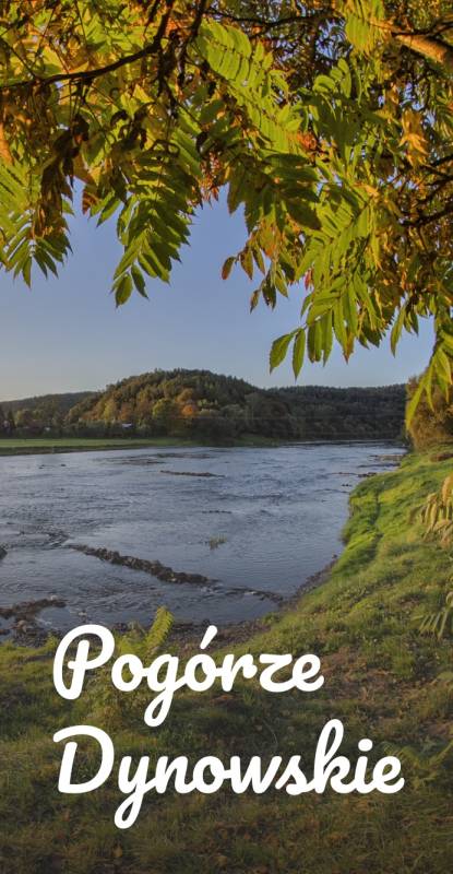
Dynów Foothills
Dynów Foothills
Association of Tourist Municipalities of the Dynów Foothills
The offline map of the Dynów Foothills Tourist Municipalities Association is a practical tool for tourists and active travelers. It covers the picturesque San River Valley and the surrounding areas, offering an extensive network of cycling and hiking trails. The map highlights the most interesting tourist attractions, natural sites, accommodation options, and other places worth visiting, making it easier to plan trips and discover the charms of the Dynów Foothills without the need for internet access.
RowerowePiesze

16
257
Mapoprzewodnik
Las Wolski w Krakowie
TOURIST MAP IN THE TRASEO APP
Las Wolski w Krakowie

Mapa Lasu Wolskiego i Pasma Sikornika w Krakowie od Wydawnictwa Compass w skali 1:10 000 wraz z wykazem i opisami wszystkich szlaków turystycznych na obszarze mapy, zarówno spacerowych, pieszych, rowerowych jak i Szlaku Twierdzy Kraków. Rok wydania 2023

Jezioro Solińskie
TOURIST MAP IN THE TRASEO APP
Jezioro Solińskie

Mapa Gminy Solina wraz z Jeziorem Myczkowskim i Jeziorem Solińskim sztucznymi zbiornikami górskimi na Sanie i Solince. Mapa od Wydawnictwa Compass w skali 1:25 000. Na północy mapa sięga po Orlec, na zachodzie Berezkę, Terką na południu i Chrewt na wschodzie. Rok wydania 2023

Gorczański Park Narodowy
TOURIST MAP IN THE TRASEO APP
Gorczański Park Narodowy

Mapa szczegółowo przedstawia obszar całego Gorczańskiego Parku Narodowego wraz z enklawami. Na mapie, poza typową treścią turystyczną, zaznaczono: zasięgi lasów i borów górnoreglowych i dolnoreglowych, starodrzewia świerkowe, jodłowe i bukowe, polany szczególnie atrakcyjne przyrodniczo, osobliwości przyrodnicze, szałasy (zwykłe, zabytkowe, będące własnością GPN, inne), a także wiele innych interesujących elementów. Na mapie zastosowano cieniowanie w celu uzyskania wrażenia plastyczności rzeźby terenu. Całość uzupełniają: informator teleadresowy oraz fotografie. Mapa powstała przy współpracy z Gorczańskim Parkiem Narodowym. Mapę offline można zakupić w aplikacji Traseo na urządzenia mobilne. Rok wydania 2020