Charakterystyka trasy

Komentarze
NA TYCH TRASACH PRZYDA CI SIĘ MAPOPRZEWODNIK LUB MAPA Z NASZEJ APLIKACJI
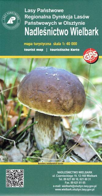
Wielbark to niewielka miejscowość położona na południe od Szczytna. Bogactwo tutejszych lasów ukazuje już sama okładka tej mapy. Poza darami runa leśnego tereny te oferują jeszcze wiele innych ciekawych miejsc godnych odwiedzenia i zgłębienia swoich tajemnic. Przed II w. św. okolice te leżały na pograniczu polsko-niemieckim - wciąż zobaczyć możemy tutaj pozostałości po dawnej granicy czy też zrekonstruowany dawny posterunek graniczny. Rzeka Omulew dostarcza niezapomnianych wrażeń kajakarzom, są też przygotowane szlaki rowerowe, czy szlak Nordic Walking. Przepastne lasy zapewniają spokój i odpoczynek na trasie - jest pięknie...

Mapa turystyczna "Park Krajobrazowy Mierzeja Wiślana" została opracowana we współpracy z pracownikami tegoż Parku, dzięki czemu stanowi dokładne i rzetelne źródło informacji na temat tego obszaru. Mapa Mierzei Wiślanej doskonale nadaje się do uprawiania zarówno turystyki pieszej, jak i rowerowej. Mapa swoim obszarem zamyka się na zachodzie przy Mikoszewie, na wschodzie zaś przy Fromborku.
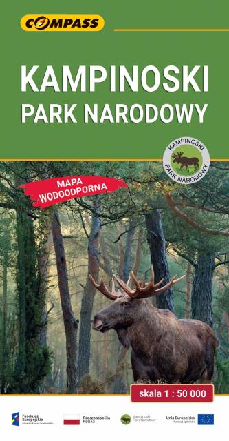
Mapa Kampinoskiego Parku Narodowego obejmuje cały obszar Parku (wraz z enklawami) oraz tereny przyległe. Zasięg mapy od północy ogranicza dolina Wisły, od zachodu Bzura, a od wschodu aglomeracja warszawska. Zasięg mapy wyznaczają: Nowy Dwór Mazowiecki na północy, Sochaczew na zachodzie, Pruszków na południu i Warszawa oraz Legionowo na wschodzie. Wydanie: 2024

Nadleśnictwo Brodnica położone jest w województwie kujawsko-pomorskim, na obszarze Pojezierza Brodnickiego. W granicach nadleśnictwa utworzono dwa parki krajobrazowe: Brodnicki Park Krajobrazowy o pow. ok. 13 ha oraz Górznieńsko-Lidzbarski Park Krajobrazowy o pow. ok. 28 ha. Jest to bardzo malowniczy obszar, pokryty głównie sosnowymi lasami, a krajobraz urozmaicają liczne jeziora.

Mapa Kociewia i Powiśla w części wschodniej obejmuje obszar zamknięty przez Białą Górę na zachodzie, Kwidzyn na południu i Elbląd na północnym wschodzie. Mapa zawiera szczegółowy obraz terenu, wraz ze szlakami i atrakcjami turystycznymi. Na mapie Powiśla i Kociewia znajdziemy m.in. Szlak Żuław Szlak Kopernikowski, Międzynarodowy Szlak Rowerowy R1.
Kociewie jest to region etnograficzno-kulturowy na Pomorzu Gdańskim, położony na lewym brzegu Wisły w dorzeczu Wdy i Wierzycy, obejmujący wschodnią część Borów Tucholskich. W przybliżeniu Kociewie zajmuje obszar obecnych powiatów starogardzkiego, tczewskiego i północnej części świeckiego, zamieszkany przez ok. 350 tys. mieszkańców. Część mieszkańców regionu posługuje się gwarami kociewskimi.