

Charakterystyka trasy

Komentarze
NA TYCH TRASACH PRZYDA CI SIĘ MAPOPRZEWODNIK LUB MAPA Z NASZEJ APLIKACJI
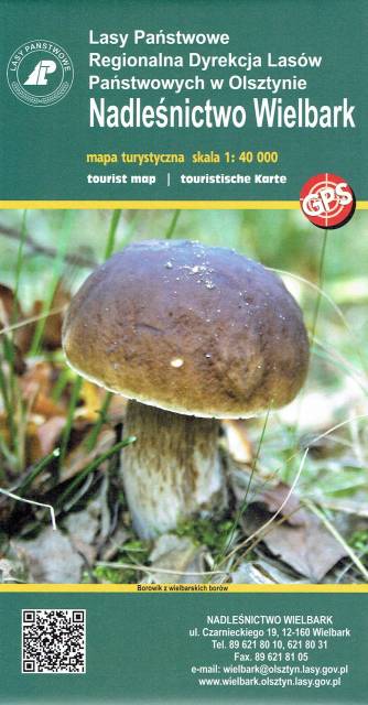
Wielbark to niewielka miejscowość położona na południe od Szczytna. Bogactwo tutejszych lasów ukazuje już sama okładka tej mapy. Poza darami runa leśnego tereny te oferują jeszcze wiele innych ciekawych miejsc godnych odwiedzenia i zgłębienia swoich tajemnic. Przed II w. św. okolice te leżały na pograniczu polsko-niemieckim - wciąż zobaczyć możemy tutaj pozostałości po dawnej granicy czy też zrekonstruowany dawny posterunek graniczny. Rzeka Omulew dostarcza niezapomnianych wrażeń kajakarzom, są też przygotowane szlaki rowerowe, czy szlak Nordic Walking. Przepastne lasy zapewniają spokój i odpoczynek na trasie - jest pięknie...
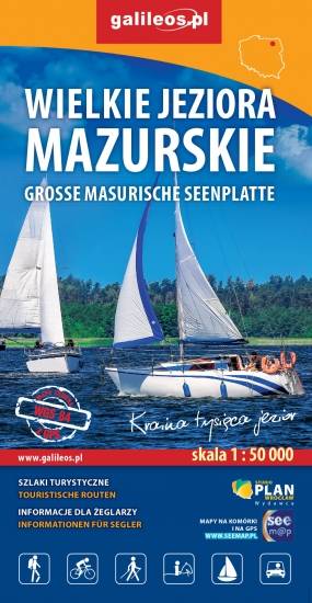
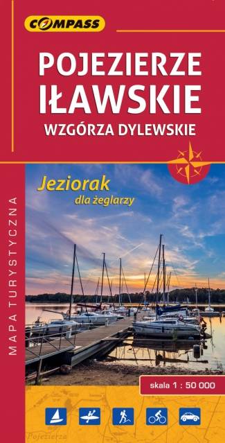
Przedstawia południową część krainy Wielkich Jezior Mazurskich. Zasięg mapy ograniczony jest miesjcowościami Mrągowo na północy, Orzysz na wschodzie, Karwica i Świętajno na południu oraz Piasutno i Borowe na zachodzie. Mapa posiada informacje przydatne dla żeglarzy, zawiera szczegółowe informacje dotyczące przystani wraz z ich infrastrukturą, miejsca czarterów, oraz specjalne oznakowania na jeziorach a także ich batymetrię. Na mapie naniesiono również szlaki piesze, rowerowe, konne, kajakowe i ścieżki dydaktyczne, formy ochrony przyrody, bazę noclegową i gastronomiczną, najważniejsze atrakcje turystyczne.
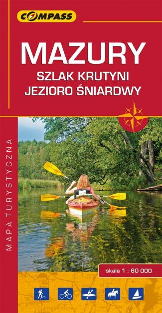
Mapa "Mazury Szlak Krutyni" obejmuje środkową część Pojezierza Mazurskiego, w tym część Pojezierza Mrągowskiego, Jezioro Śniardwy, rzekę Krutynię. Jej granicami na wschodzie jest miasto Orzysz, na zachodzie Sorkwity, na południu Świętajno, zaś od północy Mrągowo.
Olbrzymia różnorodność mazurskich krajobrazów, dzika przyroda i uważany za najpiękniejszy w Polsce szlak kajakowy sprawiają, że jest to wyjątkowo atrakcyjny turystycznie region.
Publikacja zawiera bogaty informator turystyczny, a w nim opisany szlak kajakowy Krutyni, najciekawsze atrakcje regionu, ciekawostki przyrodnicze oraz praktyczne plany Mikołajek, Mrągowa i Rucianego-Nidy.
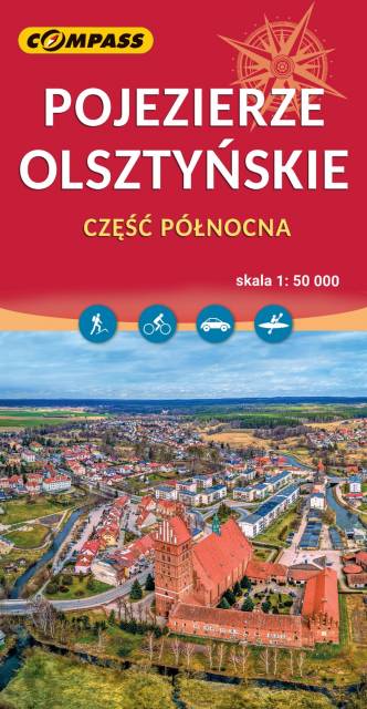
Mapa Olsztyna i okolic przedstawia północną część Pojezierza Olszyńskiego oraz fragment Pojezierza Iławskiego i Mrągowskiego. Zasięg mapy wyznaczają: Lubomino i Dobre Miasto na północy, Reszel i Sorkwity na wschodzie, Olsztyn na południu oraz Morąg na zachodzie. Malowniczy krajobraz, ukształtowany w czasie ostatniego zlodowacenia, tworzą liczne jeziora, rzeki, wzgórza morenowe i rozległe kompleksy leśne (Lasy Taborskie, Las Wichrowski). Do największych atrakcji kulturowych regionu należą zabytki gotyckie, w tym zamki krzyżackie (m.in. w Olsztynie, Reszlu, Dobrym Mieście, Morągu). Mapa doskonała do wszelkich form aktywności turystycznej, także dla żeglarzy ze względu na naniesione szlaki żeglarskie i batymetrię jezior. Uzupełnieniem mapy jest "Pojezierze Olsztyńskie - część południowa". Rok wydania 2023
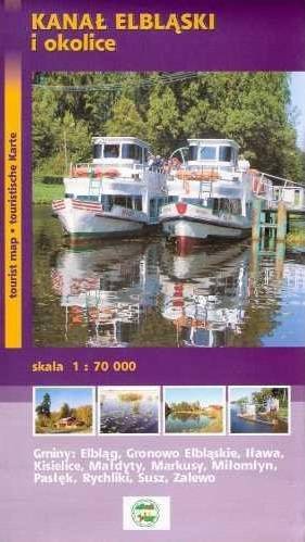
Mapa "Kanał Elbląski" przedstawia przebieg jednej z większych atrakcji Polski północnej, jaką jest właśnie Kanał Elbląski, czyli żeglowna droga wodna na terenie województwa warmińsko-mazurskiego. W latach 70. XX w. część kanału została uznana za zabytek techniki. W ostatnim czasie Kanał przeszedł modernizację, dzięki czemu stał się jeszcze bardziej godnym odwiedzenia. Mapa turystyczna Kanału Elbląskiego przedstawia największe atrakcje okolicy, zabytki, drogi i ścieżki.
Rok wydania: 2012