

Charakterystyka trasy

Komentarze
NA TYCH TRASACH PRZYDA CI SIĘ MAPOPRZEWODNIK LUB MAPA Z NASZEJ APLIKACJI
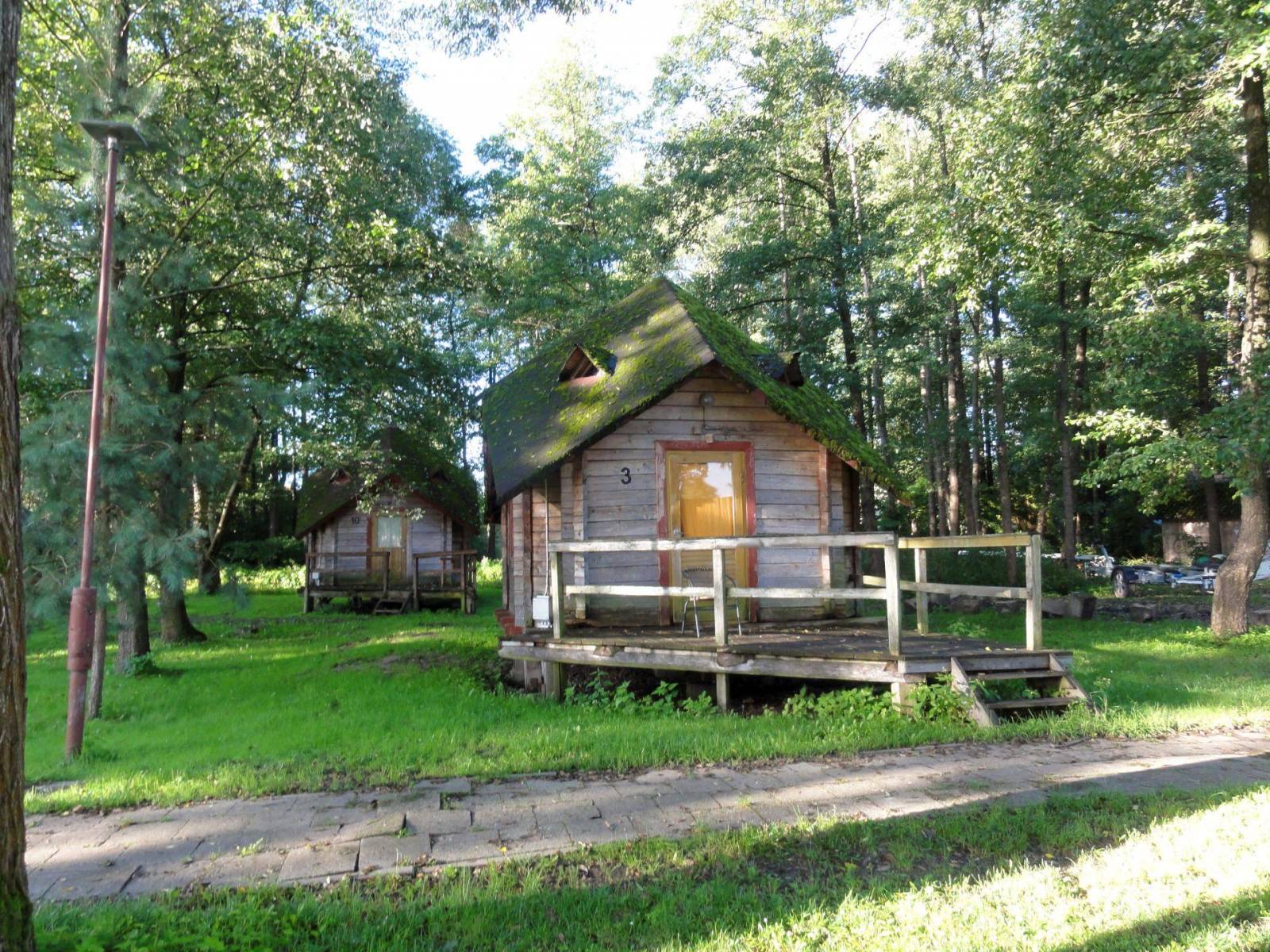
Wielbark to niewielka miejscowość położona na południe od Szczytna. Bogactwo tutejszych lasów ukazuje już sama okładka tej mapy. Poza darami runa leśnego tereny te oferują jeszcze wiele innych ciekawych miejsc godnych odwiedzenia i zgłębienia swoich tajemnic. Przed II w. św. okolice te leżały na pograniczu polsko-niemieckim - wciąż zobaczyć możemy tutaj pozostałości po dawnej granicy czy też zrekonstruowany dawny posterunek graniczny. Rzeka Omulew dostarcza niezapomnianych wrażeń kajakarzom, są też przygotowane szlaki rowerowe, czy szlak Nordic Walking. Przepastne lasy zapewniają spokój i odpoczynek na trasie - jest pięknie...
Mapa przedstawia najatrakcyjniejszy turystycznie fragment Suwalszczyzny, obejmujący Wigierski Park Narodowy i Suwalski Park Krajobrazowy. Zasięg mapy wyznaczają: Wiżajny na północy, Skajzgiry na zachodzie, Jezioro Blizno na południu oraz Pogorzelec na wschodzie.
Jest to region o wyjątkowo urokliwych krajobrazach. Zawdzięczamy je ostatniemu zlodowaceniu, po którym topniejące masy lodu i polodowcowe wody ukształtowały morenowe wzniesienia porozdzielane głębokimi dolinami rzecznymi i jeziorami z największym jeziorem Suwalszczyzny – Wigrami i najgłębszym polskim jeziorem – Hańczą na czele. Polodowcową pamiątką są liczne, okazałe głazy tworzące głazowiska, przetransportowane tu ze Skandynawii. Uroku dodają rozległe kompleksy Puszczy Augustowskiej, okalającej większą część linii brzegowej Jeziora Wigry.
Obszar ten to idealne miejsce dla amatorów sportów wodnych. Dużą popularnością cieszą się spływy kajakowe Czarną Hańczą. Warto również wybrać się na spacery i wycieczki rowerowe po Wigierskim Parku Narodowym i Suwalskim Parku Krajobrazowym. Rok wydania 2023
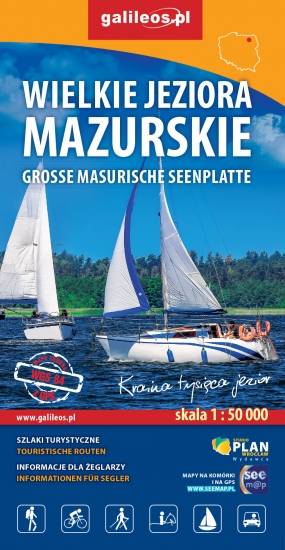
Przedstawia północną część krainy Wielkich Jezior Mazurskich. Zasięg mapy ograniczony jest miesjcowościami Węgorzewo na północy, jeziorem Gołdopiwo na wschodzie, Tałty na południu oraz Ryn i Kwiedzina na zachodzie. Mapa posiada informacje przydatne dla żeglarzy, zawiera szczegółowe informacje dotyczące przystani wraz z ich infrastrukturą, miejsca czarterów, oraz specjalne oznakowania na jeziorach a także ich batymetrię. Na mapie naniesiono również szlaki piesze, rowerowe, konne, kajakowe i ścieżki dydaktyczne, formy ochrony przyrody, bazę noclegową i gastronomiczną, najważniejsze atrakcje turystyczne.

Mapa turystyczna "Park Krajobrazowy Mierzeja Wiślana" została opracowana we współpracy z pracownikami tegoż Parku, dzięki czemu stanowi dokładne i rzetelne źródło informacji na temat tego obszaru. Mapa Mierzei Wiślanej doskonale nadaje się do uprawiania zarówno turystyki pieszej, jak i rowerowej. Mapa swoim obszarem zamyka się na zachodzie przy Mikoszewie, na wschodzie zaś przy Fromborku.

Przedstawia południową część krainy Wielkich Jezior Mazurskich. Zasięg mapy ograniczony jest miesjcowościami Mrągowo na północy, Orzysz na wschodzie, Karwica i Świętajno na południu oraz Piasutno i Borowe na zachodzie. Mapa posiada informacje przydatne dla żeglarzy, zawiera szczegółowe informacje dotyczące przystani wraz z ich infrastrukturą, miejsca czarterów, oraz specjalne oznakowania na jeziorach a także ich batymetrię. Na mapie naniesiono również szlaki piesze, rowerowe, konne, kajakowe i ścieżki dydaktyczne, formy ochrony przyrody, bazę noclegową i gastronomiczną, najważniejsze atrakcje turystyczne.
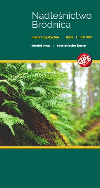
Nadleśnictwo Brodnica położone jest w województwie kujawsko-pomorskim, na obszarze Pojezierza Brodnickiego. W granicach nadleśnictwa utworzono dwa parki krajobrazowe: Brodnicki Park Krajobrazowy o pow. ok. 13 ha oraz Górznieńsko-Lidzbarski Park Krajobrazowy o pow. ok. 28 ha. Jest to bardzo malowniczy obszar, pokryty głównie sosnowymi lasami, a krajobraz urozmaicają liczne jeziora.