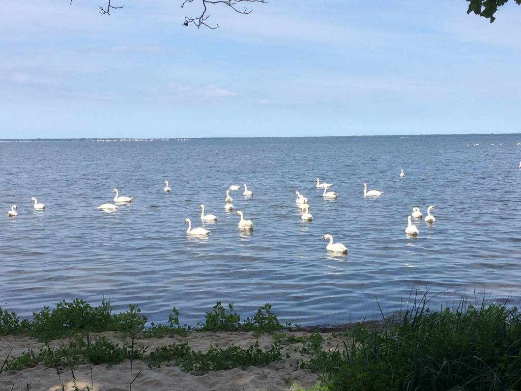
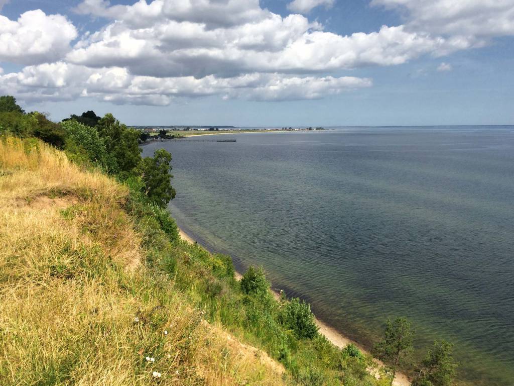
category-icon

Gdynia-zupa w Rzucewie-Rumia

61 km
12 h 29 min
624 m
616 m
Zdjęcie 1
Zdjęcie 2
Zdjęcie 3
Zdjęcie 4
Zdjęcie 5
Zdjęcie 6

Route characteristics

2015-07-24
category-icon
61 km
624 m
616 m
12 h 29 min
2.9/6

Comments

You may find the map from our app useful on this route

Tricity Landscape Park
TOURIST MAP IN THE TRASEO APP
Tricity Landscape Park

Tricity Landscape Park is a protected area in northern Poland, in the Pomeranian Voivodeship, close to Gdynia and Gdańsk. Cycling, walking and horse trails are marked on the map, as well as other information useful for tourists.

Mierzeja Helska
TOURIST MAP IN THE TRASEO APP
Mierzeja Helska

Tourist map of Mierzeja Helska and surroundings with current hiking and cycling routes. The map includes: Jastarnia, Władysławowo, Kuźnica, Hel, Jurata, Jastrzębia Góra, Karwia, Chałupy, Jurata and Puck area. Year of publication 2016

Kaszuby dla rowerzystów i piechurów cz. PŁN
TOURIST MAP IN THE TRASEO APP
Kaszuby dla rowerzystów i piechurów cz. PŁN

Mapa Kaszub dla rowerzystów i piechurów część północna. Zasięg mapy ograniczony jest miejscowościami: Lipusz i Sulęczyno na zachodzie, Lębork i Nowy Dwór Wejherowski na północy, Żukowo i Przywidz na wschodzie oraz Gołuń i Wdzydze Kiszewskie na południu. Na mapie uwgzlędniono trasy rowerowe, szlaki piesze i Nordic Walking z długościami. Dodatkowo zaznaczone zostały drogi polne, leśne oraz szlaki kajakowe. Są tu też zabytki, noclegi, muzea, punkty widokowe, szczególnie warte odwiedzenia miejsca zaznaczono żółtą ramką.
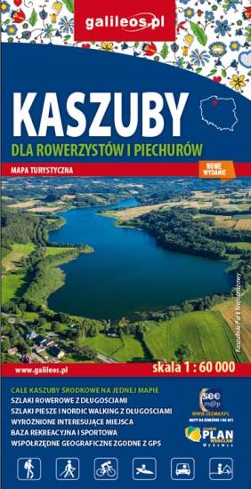
Kashubian Baltic Coast
TOURIST MAP IN THE TRASEO APP
Kashubian Baltic Coast

Kashubian Lake District is a region in nothern Poland, largely populated by Kashubians, from which the name of the region originates. In this characteristic post-glacial landscape with hills rising up to 656 feet above sea level, there are almost 250 lakes. At the same time, it is also one of the largest forest areas in Poland. All the hiking and walking routes, tourist attractions, fortifications and lighthouses are marked on the map.

Central Kashubia
TOURIST MAP IN THE TRASEO APP
Central Kashubia

Kashubia is an area in eastern Pomerania, a region of north-western Poland. In this characteristic post-glacial landscape with hills rising up to 656 feet above sea level, there are almost 250 lakes. At the same time, it is also one of the largest forest areas in Poland. Located west of Gdańsk and the mouth of the Vistula river, it is inhabited by members of the Kashubian ethnic group. The map depicts the middle part of the region, the Tuchola Forest and part of the Tricity Landscape Park near Gdańsk.

Pomorskie. Zamki i pałace
TOURIST MAP IN THE TRASEO APP
Pomorskie. Zamki i pałace

Mapa województwa pomorskiego na której zaznaczono za pomocą ilustracji zamki, dwory i pałace w województwie pomorskim. Mapa zawiera aktualną sieć dróg. Łącznie uwzględniono 121 miejsc wartych odwiedzenia.

Towns on the route