


Charakterystyka trasy

Komentarze
NA TYCH TRASACH PRZYDA CI SIĘ MAPOPRZEWODNIK LUB MAPA Z NASZEJ APLIKACJI
The map presents part of the Greater Poland Voivodeship in west-central Poland, south from Poznań. It covers such areas as the Puszcza Zielonka Landscape Park and the Promno Landscape Park. Tourist attractions, cycling and walking trails are marked on the map, as well as other information useful for tourists.
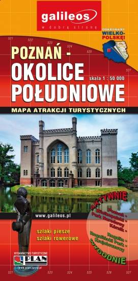
The map presents part of the Greater Poland Voivodeship in west-central Poland, south from Poznań. It covers such towns as Stęszew, Środa Wielkopolska, Kostrzyn. Tourist attractions, cycling and walking trails are marked on the map, as well as other information useful for tourists.
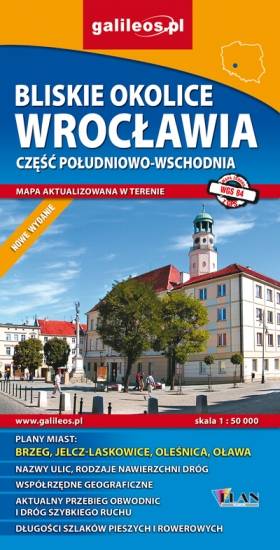
Map in detailed scale range: Wrocław city center to the west, Brzeg to the east, Wiązów to the south, Oleśnica to the north. A lot of information useful for tourists is marked on the map: monuments, accomodation facilities, protected areas, cycling and walking trails, as well as street names and the type of road surface.
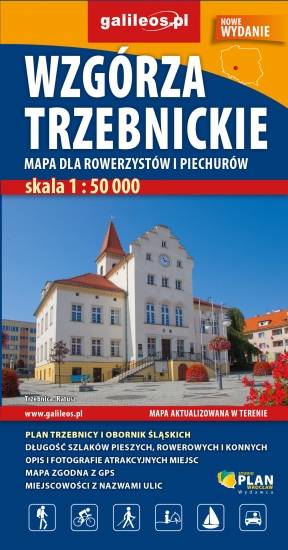
The Trzebnickie Hills is a mountain range in southwestern Poland. It is named after the town of Trzebnica on the northern slope. The range is located in the Lower Silesian Voivodeship. It lies north of the regional capital Wrocław, between the Oder and Widawa Rivers to the southwest and the Barycz River to the north. The landscape is made up of fields, woods and orchards. Tourist attractions, cycling and walking trails, protected areas borders, as well as other information useful for tourists (e.g. accomodation, restaurants, ski lifts) are marked on the map. The most interesting places are highlighted with a yellow frame.