


Charakterystyka trasy

Komentarze
NA TYCH TRASACH PRZYDA CI SIĘ MAPOPRZEWODNIK LUB MAPA Z NASZEJ APLIKACJI
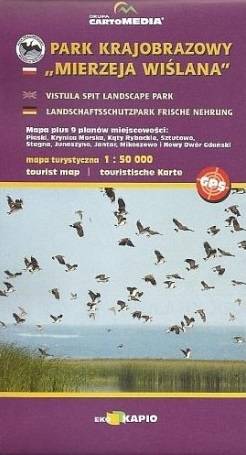
Mapa turystyczna "Park Krajobrazowy Mierzeja Wiślana" została opracowana we współpracy z pracownikami tegoż Parku, dzięki czemu stanowi dokładne i rzetelne źródło informacji na temat tego obszaru. Mapa Mierzei Wiślanej doskonale nadaje się do uprawiania zarówno turystyki pieszej, jak i rowerowej. Mapa swoim obszarem zamyka się na zachodzie przy Mikoszewie, na wschodzie zaś przy Fromborku.
Nadleśnictwo Brodnica położone jest w województwie kujawsko-pomorskim, na obszarze Pojezierza Brodnickiego. W granicach nadleśnictwa utworzono dwa parki krajobrazowe: Brodnicki Park Krajobrazowy o pow. ok. 13 ha oraz Górznieńsko-Lidzbarski Park Krajobrazowy o pow. ok. 28 ha. Jest to bardzo malowniczy obszar, pokryty głównie sosnowymi lasami, a krajobraz urozmaicają liczne jeziora.

Mapa Kociewia i Powiśla w części zachodniej obejmuje obszar zamknięty przez Skarszew na zachodzie, Kwidzyn na południu, Malbork na wschodzie i Tczew na północy. Mapa zawiera szczegółowy obraz terenu, wraz ze szlakami i atrakcjami turystycznymi. Na mapie Powiśla i Kociewia znajdziemy m.in. Szlak Zamków Powiśla, Szlak Grzymisława, EuroVelo 9 i Szlak Kopernikowski.
Kociewie jest to region etnograficzno-kulturowy na Pomorzu Gdańskim, położony na lewym brzegu Wisły w dorzeczu Wdy i Wierzycy, obejmujący wschodnią część Borów Tucholskich. W przybliżeniu Kociewie zajmuje obszar obecnych powiatów starogardzkiego, tczewskiego i północnej części świeckiego, zamieszkany przez ok. 350 tys. mieszkańców. Część mieszkańców regionu posługuje się gwarami kociewskimi.

Mapa Kociewia i Powiśla w części wschodniej obejmuje obszar zamknięty przez Białą Górę na zachodzie, Kwidzyn na południu i Elbląd na północnym wschodzie. Mapa zawiera szczegółowy obraz terenu, wraz ze szlakami i atrakcjami turystycznymi. Na mapie Powiśla i Kociewia znajdziemy m.in. Szlak Żuław Szlak Kopernikowski, Międzynarodowy Szlak Rowerowy R1.
Kociewie jest to region etnograficzno-kulturowy na Pomorzu Gdańskim, położony na lewym brzegu Wisły w dorzeczu Wdy i Wierzycy, obejmujący wschodnią część Borów Tucholskich. W przybliżeniu Kociewie zajmuje obszar obecnych powiatów starogardzkiego, tczewskiego i północnej części świeckiego, zamieszkany przez ok. 350 tys. mieszkańców. Część mieszkańców regionu posługuje się gwarami kociewskimi.
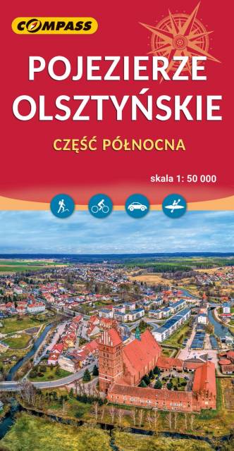
Mapa Olsztyna i okolic przedstawia północną część Pojezierza Olszyńskiego oraz fragment Pojezierza Iławskiego i Mrągowskiego. Zasięg mapy wyznaczają: Lubomino i Dobre Miasto na północy, Reszel i Sorkwity na wschodzie, Olsztyn na południu oraz Morąg na zachodzie. Malowniczy krajobraz, ukształtowany w czasie ostatniego zlodowacenia, tworzą liczne jeziora, rzeki, wzgórza morenowe i rozległe kompleksy leśne (Lasy Taborskie, Las Wichrowski). Do największych atrakcji kulturowych regionu należą zabytki gotyckie, w tym zamki krzyżackie (m.in. w Olsztynie, Reszlu, Dobrym Mieście, Morągu). Mapa doskonała do wszelkich form aktywności turystycznej, także dla żeglarzy ze względu na naniesione szlaki żeglarskie i batymetrię jezior. Uzupełnieniem mapy jest "Pojezierze Olsztyńskie - część południowa". Rok wydania 2023