

Arecki_CubeArecki_Cube
Charakterystyka trasy
2019-09-01
Polska, dolnośląskie, Zgorzelec, powiat zgorzelecki

Długość trasy:
101 kmSuma przewyższeń:
191 mSuma spadków:
198 mŚredni czas potrzebny na pokonanie trasy:
7 h 17 minOcena trasy:
2.9/6Komentarze
NA TYCH TRASACH PRZYDA CI SIĘ MAPOPRZEWODNIK LUB MAPA Z NASZEJ APLIKACJI
MAPA TURYSTYCZNA W APLIKACJI TRASEO
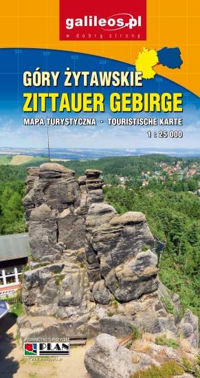
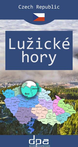
Góry Łużyckie
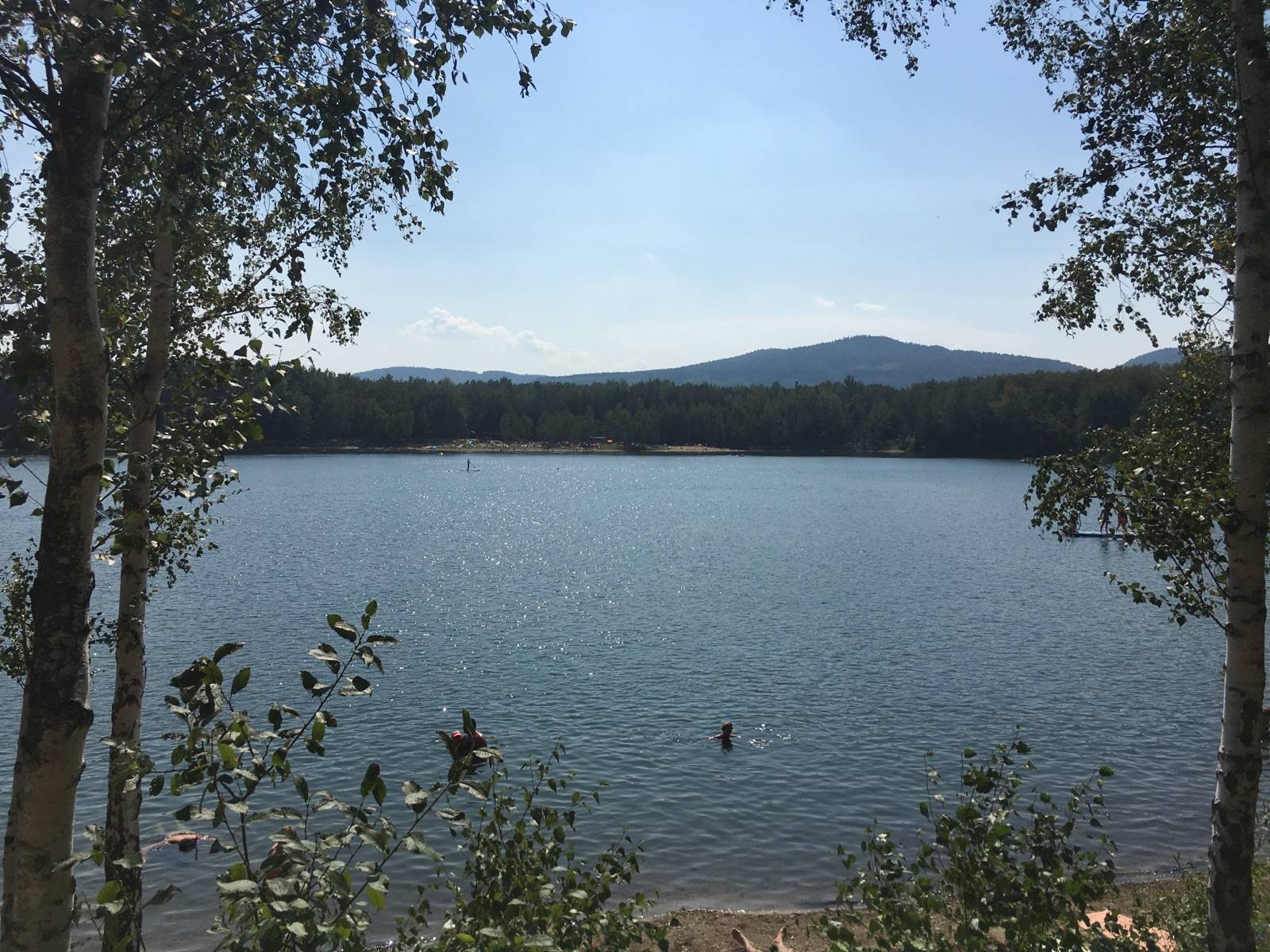
Góry Łużyckie – pasmo górskie w Sudetach, leżące na zachód od Gór Izerskich, na pograniczu czesko-niemieckim, między Ústí nad Labem, Żytawą a Libercem. Przez grzbiet Gór Łużyckich przebiega dział wodny oddzielający zlewisko Morza Bałtyckiego i Północnego. W centralnej części gór znajduje się kilka niewielkich jezior oraz kilka sztucznych zbiorników wodnych. Region pokrywają bogate lasy bukowo-jodłowe, ubogie buczyny, dąbrów podgórskie. W dolinach potoków występują lasy łęgowe jesionowo-olchowe. Obecnie duże połacie gór porastają wtórnie wprowadzone przez człowieka bory świerkowe. Już od XIII wieku w Górach Łużyckich rozwijało się szklarstwo, natomiast od XV wieku rozwijało się górnictwo i hutnictwo, które z przerwami funkcjonowało do 1911 r.
MAPA TURYSTYCZNA W APLIKACJI TRASEO
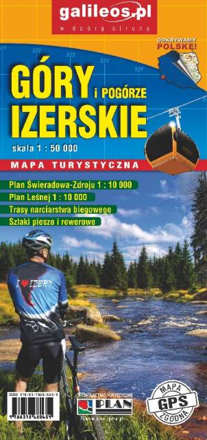
Góry Izerskie
Mapa turystyczna "Góry Izerskie" przedstawia duży obszar polskiej i czeskiej części tych gór. Granicę mapy na zachodzie wyznacza czeski Liberec, na północy Gryfów Śląski, a na wschodzie fragment Parku Krajobrazowego Doliny Bobru. Na mapie znajdują się także Szklarska Poręba, Jakuszyce oraz Harrachov. Rok wydania 2020
MAPA TURYSTYCZNA W APLIKACJI TRASEO
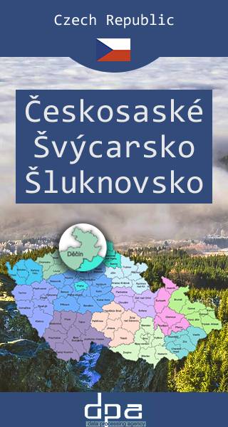
Czeska Szwajcaria, okolice Šluknova
PN Czeska Szwajcaria położony jest w północnych Czechach, między miejscowościami Hřensko na zachodzie a Chřibská na wschodzie, na południu graniczy z Obszarem chronionego krajobrazu Łabskie Piaskowce, a od północy graniczy z Szwajcarią Saksońską położoną po północnej stronie granicy czesko-niemieckiej. Występują tu unikatowe piaskowcowe skalne miasta, stworzone przez zagęszczenie ciekawych formacji, jak: bramy, pionowe ściany, baszty, iglice, wąwozy, szczeliny, parowy, i wąskie tarasy skalne. Chociaż obszar kojarzy się z górami, znajduje się tutaj najniżej położony teren w Czechach w miejscowości Hřensko, leżącej na wysokości 115 m n.p.m. Cały teren Parku Narodowego Czeska Szwajcaria, pod względem zajmowanego obszaru oraz minimalnego zaludnienia, jest unikalnym regionem na skalę Europejską. Symbolem Czeskiej Szwajcarii jest największa w Europie naturalna skalna brama – Brama Pravčicka.
MAPA TURYSTYCZNA W APLIKACJI TRASEO
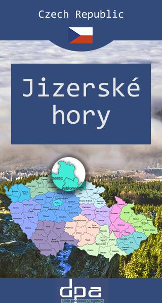
Góry Izerskie
Mapa obejmuje czeską część Góry Izerskich, malowniczego pasma Sudetów rozciągającego się na styku granic Polski, Czech i Niemiec. Region znany jest jako ważny ośrodek sportów zimowych - w tym narciarstwa biegowego. Na Polanie Jakuszyckiej odbywa się m.in. Bieg Piastów, a po czeskiej stronie tzw. Jizerská padesátka – bieg na nartach na odcinku 50 km. Po czeskiej stronie funkcjonuje także popularne centrum narciarstwa zjazdowego w Bedřichovie.