category-icon

ZGORZELEC - TRZĘSACZ

294 km
3 h 8 min
606 m
724 m
TRZĘSACZ
no photo

Charakterystyka trasy

2020-08-01
TRZĘSACZ
category-icon
Długość trasy:
294 km
Suma przewyższeń:
606 m
Suma spadków:
724 m
Średni czas potrzebny na pokonanie trasy:
3 h 8 min
Ocena trasy:
1.3/6

Komentarze

NA TYCH TRASACH PRZYDA CI SIĘ MAPOPRZEWODNIK LUB MAPA Z NASZEJ APLIKACJI
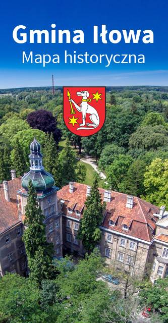
Gmina Iłowa - mapa historyczna
MAPA TURYSTYCZNA W APLIKACJI TRASEO
Gmina Iłowa - mapa historyczna

Mapa historyczna Gminy Iłowa.

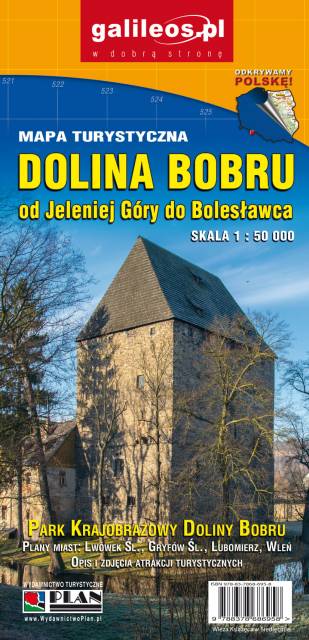
Dolina Bobru
MAPA TURYSTYCZNA W APLIKACJI TRASEO
Dolina Bobru

Mapa Doliny Bobru zasięgiem obejmująca obszar od Jeleniej Góry do Bolesławca. Na mapie zaznaczono szlaki turystyczne piesze i rowerowe oraz ważniejsze atrakcje turystyczne. 

Dolina Bobru
MAPA TURYSTYCZNA W APLIKACJI TRASEO
Dolina Bobru

Mapa Doliny Bobru, zaktualizowana w ternie. Obejmuje obszar od Jeleniej Góry na południu do Bolesławca na północy. Na mapie Doliny zaznaczono szlaki turystyczne piesze i rowerowe oraz najważniejsze atrakcje turystyczne. Rok wydania 2021

Kaczawskie Mountains and Kaczawskie Piedmont
MAPA TURYSTYCZNA W APLIKACJI TRASEO
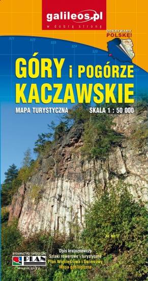
Kaczawskie Mountains and Kaczawskie Piedmont

Góry Kaczawskie are a mountain range in the Western Sudetes in Poland, in the Lower Silesian Voivodeship. The highest peak is Skopiec (724 m). Map range: Legnica to the north and Jelenia Góra to the south. It depicts also area of the Dolina Bobru Landscape Park and the Chełmy Landscape Park. Tourist attractions, as well as cycling and walking trails are marked on the map.

Międzyrzecz Fortification Region. Łagów Lakeland
MAPA TURYSTYCZNA W APLIKACJI TRASEO
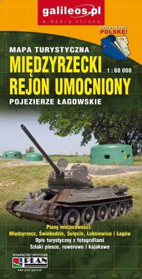
Międzyrzecz Fortification Region. Łagów Lakeland

Międzyrzecz Fortification Region was a fortified military defence line of Nazi Germany between the Oder and Warta rivers. Built in 1934–44, it was the most technologically advanced fortification system of Nazi Germany, and remains one of the largest and the most interesting systems of this type in the world today. It consists of around 100 concrete defence structures partially interconnected by a network of underground tunnels. Some of the forts and tunnels are available for visiting. The map presents the central part of the defence line. Cycling and walking trails are also marked.

Jizera Mountains
MAPA TURYSTYCZNA W APLIKACJI TRASEO
Jizera Mountains
Jizera Mountains or Izera Mountains are part of the Western Sudetes on the border between the Czech Republic and Poland. The range got its name from the Jizera River, which rises at the southern base of the Smrk massif. The range stretches from the Lusatian Mountains (Zittau Mountains) in the northwest to the Krkonoše in the southeast. The highest peak is Wysoka Kopa (1,127 m) near the town of Szklarska Poręba in Poland. Neverteheless, a better-known mountain is Smrk (1124 m), with a recently rebuilt look-out tower. The Jizera Mountains are an attractive location for winter sports, cycling and hiking. The centre for both downhill skiing and ski run is Bedřichov.