Ruciane-Nida (0.0 km) · Wojnowo (14.3 km) · Gałkowo (19.0 km) · Kadzidłowo (22.5 km) · Nowy Most (25.5 km) · Iznota (28.0 km) · Wygryny (34.7 km) · Guzianka Lock (38.0 km) · Ruciane-Nida (39.0 km)
The Wojnowo Loop runs almost entirely through the Piska Primeval Forest. It is very interesting in every respect. History buffs will find plenty of sites to see here. Along the way, you can learn about the history of Masuria by visiting the villages of Wojnowo, with its Old Believer monuments; Gałkowo, with its forester’s manor; and Kadzidłowo, home to the Cultural Settlement. Both children and adult nature lovers will surely be intrigued by the Wild Animal Park in Kadzidłowo.
We set off from the tourist information office on Dworcowa Street in Ruciane-Nida. First, we head southeast along National Road 58, pass a historic railway water tower, and after 400 meters, turn right. Near the exit, behind the gas station, there is a tower bunker that was built before World War I to protect the crossing over the Nidzki Canal.
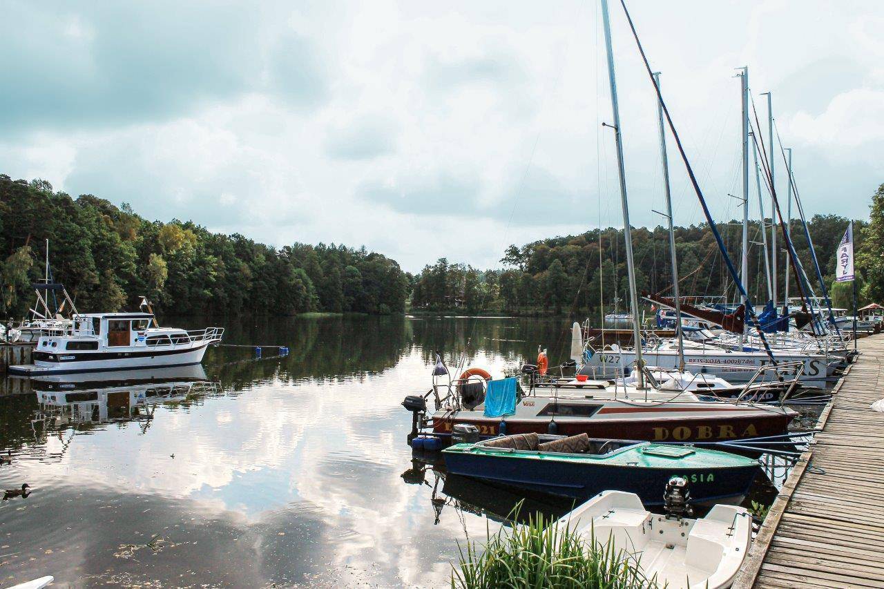
We reach Wczasów Avenue—here we can take a break at the municipal beach on Lake Nidzkie. Right by the path leading down to the lake, we’ll see an interesting wooden building known as the “Borejszówka.”
We continue along the bike path toward Nida, the western part of the city. On Wczasów Avenue, we pass the closed “Perła Jezior.”
Continuing on, we cross a small bridge and, at the fork, turn left onto Wiejska Street, then onto Żeglarska Street. The road surface changes to a dirt road. After about 2 km, we turn onto a new paved road heading toward Krzyże and Karwica. After another 2 km, we turn right onto a dirt road, and after 100 m—right again, onto a road heading north. Not far from here, about 2 km to the south, is the Konstanty Ildefons Gałczyński Museum—the Pranie Forest Lodge.
We cross the railroad tracks and follow a forest path to reach National Road No. 58; we turn left toward Szczytno, and after covering another stretch, we turn right toward Uktę. We pass through Wojnowo. At the entrance to the village, on the left, stands a historic Old Believer monastery, and in the center is a molenna, or house of prayer. At the intersection, we go straight ahead (on the road branching off to the right, 200 m from the route, there is an Orthodox church worth visiting). On the left, we have a view of the Krutynia River. As we approach it, we turn left onto a dirt road and cross the bridge spanning the river. After traveling 100 m, we turn left onto a country road leading through picturesque meadows and past new, stately villas toward Gałkowo.
Gałkowo is another village built by Old Believers, featuring many examples of wooden architecture. The village is known for its forester’s manor. The building originally stood in Sztynort as part of the famous palace complex that served as the seat of the Lehndorff family. Unfortunately, it had been falling into disrepair since the 1990s, so it was transported in sections to Gałkowo and restored there.
We reach Provincial Road No. 610, which we cross, and then continue along a dirt road toward Kadzidłowo, turning right at the nearest intersection and left at the next fork.
We reach Provincial Road No. 609, turn left onto it toward Mikołajki, and after about 1 km, we turn right off it toward Iznota. We pass the village of Nowy Most and the Krutynia River in Iznota, known for Galindia, a resort with an amusement park inspired by the culture and customs of the Galindians
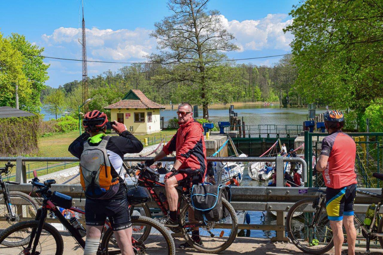
At the first intersection in Iznota, turn right toward Wygryny. Continue along the forest road, passing small forest lakes hidden in the wilderness. After 7 km, you’ll reach Wygryny. Cross the bridge over the Nidka River and head south on a dirt forest road toward Ruciane-Nida. Here, at the intersection with Guzianka Street, head straight ahead onto Mazurska Street (Guzianka Street leads to the left; if you veer off the route, you can use it to reach the nearby Guzianka I and II locks and the tower bunkers with machine-gun emplacements). Follow Mazurska Street to the roundabout, where the tour ends at the tourist information center.
The trail is marked in green. You can extend the trip by about 4 km (2 km one way) on the section between Ruciane-Nida and Wojnowo by turning toward Karwica to visit the Pranie Forest Lodge—the Konstanty Ildefons Gałczyński Museum.
Ruciane-Nida lies on one of the two railway lines connecting Olsztyn with Ełk. Regional trains and several long-distance trains stop here.
Road access is provided by National Road No. 58, which runs from Olsztynek through Szczytno, Ruciane-Nida, and Pisz, among other towns.
listed in the register of historic buildings. There are plans to open a training and conference center there.
Wojnowo
A village founded in 1832—the second after Onufryjewo—by Russian Old Believers (Filipons). It quickly became the center of their community’s life. In 1847, a monastic house of prayer was established here, which now houses a private museum. Its interior is adorned with original icons brought from the East by the first settlers. Nearby, on a small peninsula jutting into Lake Duś, a monastic cemetery has been preserved. A village cemetery is also located nearby. Along the road, you can see the distinctive red tower of the molenna, or the community’s house of prayer. Unfortunately, it is only opened once a month during a service. The village is also home to the Orthodox Monastery of the Dormition of the Most Holy Mother of God, which remains active to this day. If you wish to visit it, it’s best to first check the opening hours by phone or online.
Krutynia
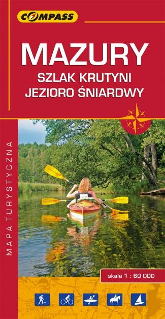
This is the most famous and longest (approx. 100 km) river in Masuria, as well as the most beautiful kayaking route in northeastern Poland, which gained popularity even before World War II. According to Karol Małłek, a Masurian activist: “If you haven’t seen the Krutynia, you haven’t seen Masuria.”
The Krutynia’s source is near Lake Warpuńskie, while kayaking trips usually begin at Lake Lampackie in Sorkwity. The route passes through 20 lakes connected by the river, which takes on various names along its course: Sobiepanka, Grabówka, Dąbrówka, Gancka Struga, Babięcka Struga, Spychowska Struga, and only from Lake Krutyńskie does it take on its proper name. The section from this point through Wojnowo to Ukta is the most beautiful part of the trail, from which the entire route takes its name. On the final stretch, the river is known as the Czarna Krutynia, due to the dark color of its water, which is caused by peat deposits.
The towns along the trail are tourist destinations. There are plenty of lodging options along the river, especially campgrounds. As early as before World War II, five water sports centers were established here. The kayaking route is considered easy, as it mostly follows the river’s current. Today, kayaking trips along the Krutynia trail and the so-called “pychówka” cruises (traditional Masurian boats propelled by pushing off from the riverbed with a pole) organized in the town of Krutyń are among the most popular attractions in Masuria.
A hiking trail (blue, named after Melchior Wańkowicz) and the Krutynia Bicycle Trail (also marked in blue) have also been established along the kayaking route.
Kadzidłowo
Lovers of Masurian nature should definitely visit the Wildlife Park in Kadzidłowo. It covers an area of approximately 200 hectares and is home to about 400 animals representing over 100 species. It is an attraction not only for children but also for adults. At the park, you can see animals rarely found in the wild, such as lynx, wolves, eagle owls, black grouse, capercaillies, and impressive moose, as well as animals from Siberia and the Far East, such as milu deer, Chinese muntjacs, raccoon dogs, and many others.
History buffs, on the other hand, will certainly be interested in the local Cultural Village—a small open-air museum featuring very valuable examples of Masurian wooden architecture and a museum exhibition. A real highlight is the highly regarded and award-winning restaurant operating in a historic building (reservations are required).