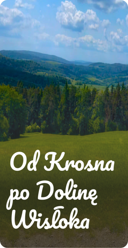

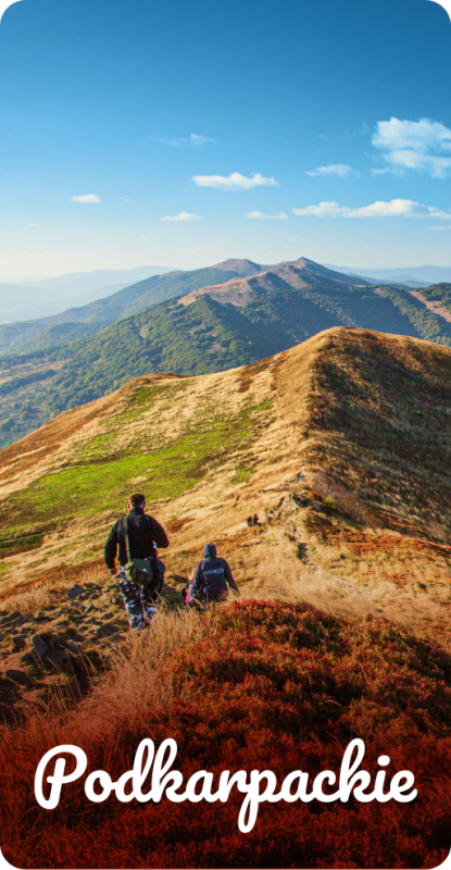
Podkarpackie
Bieszczady, Beskid Niski, Dolina Sanu i Wisły, Roztocze, Rzeszów i okolice
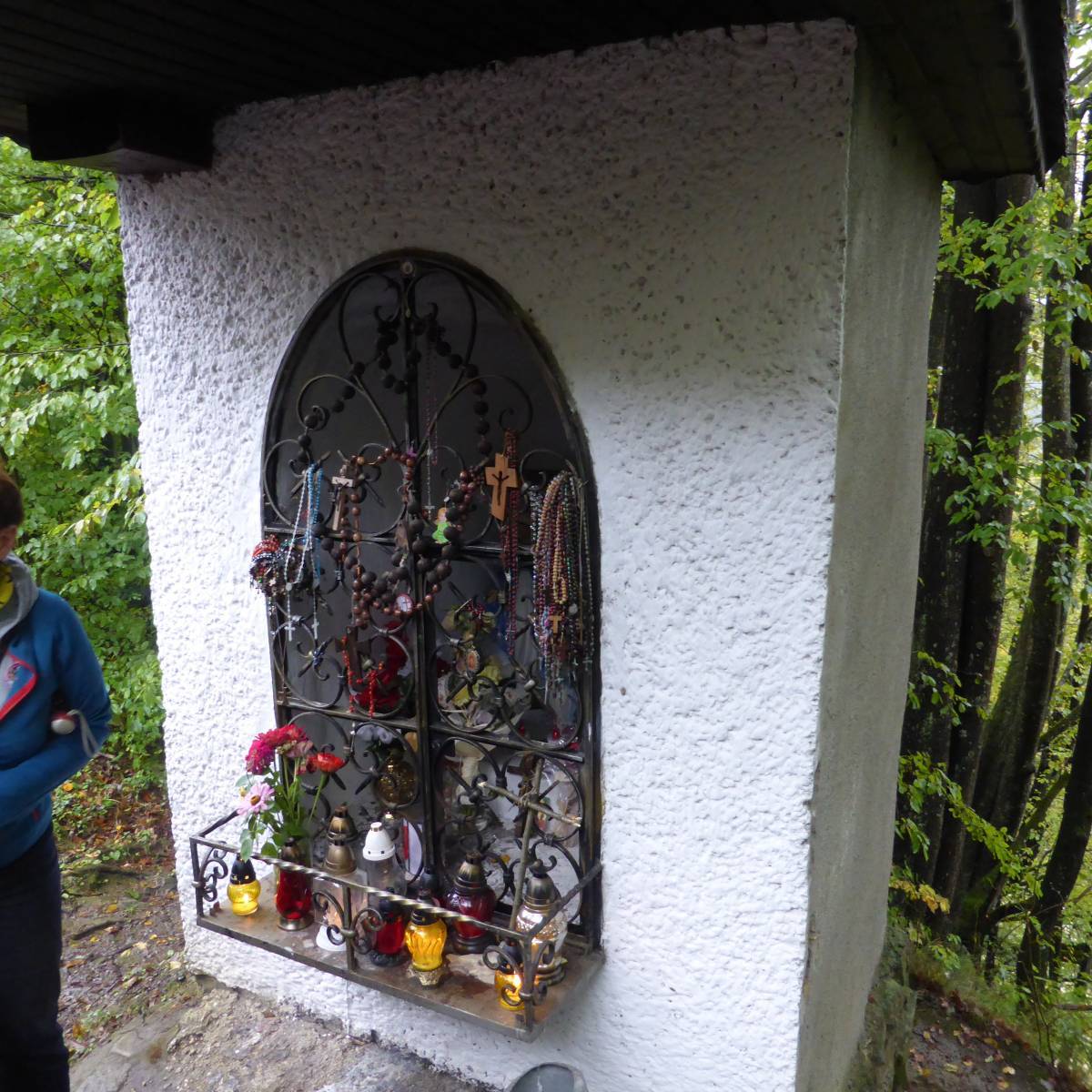
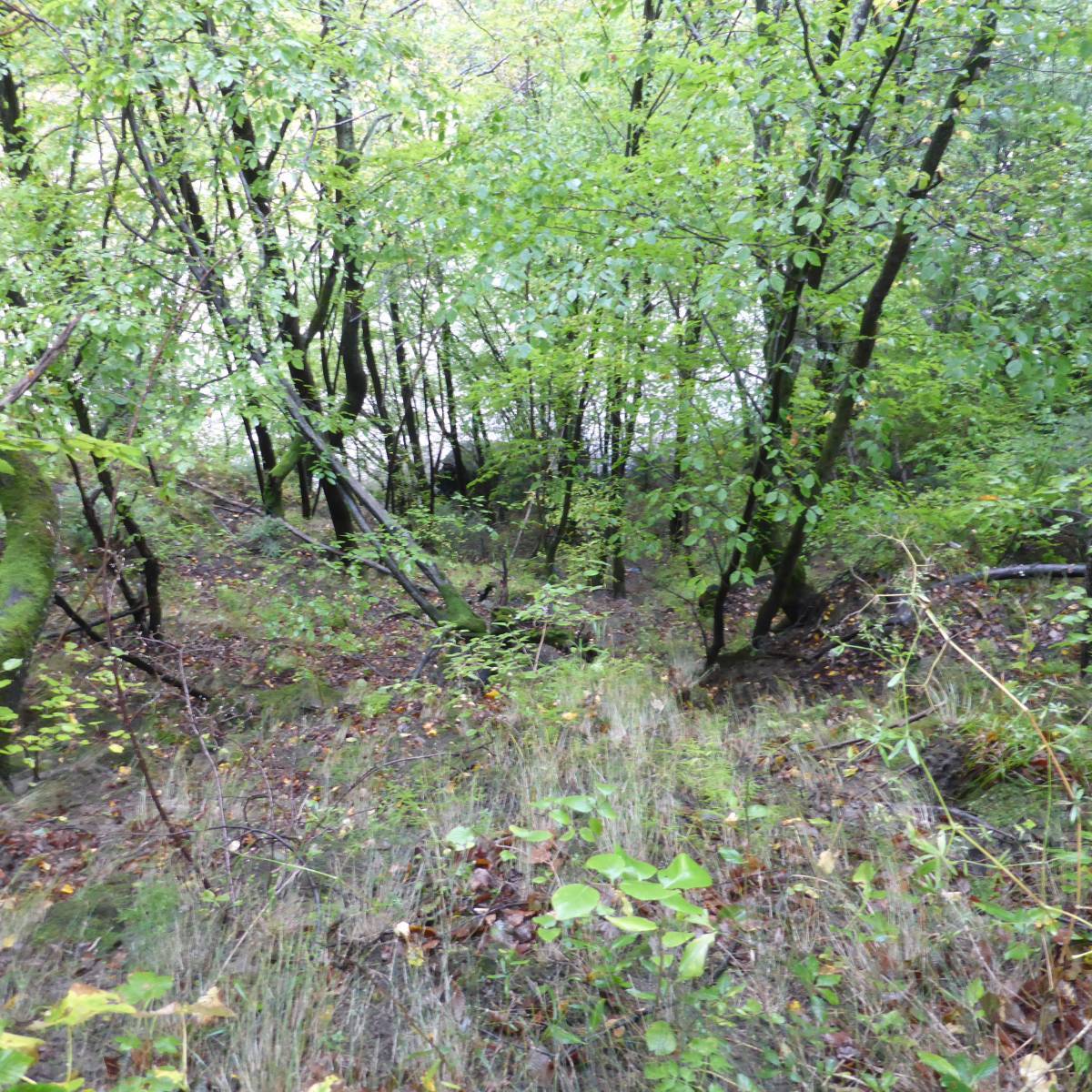
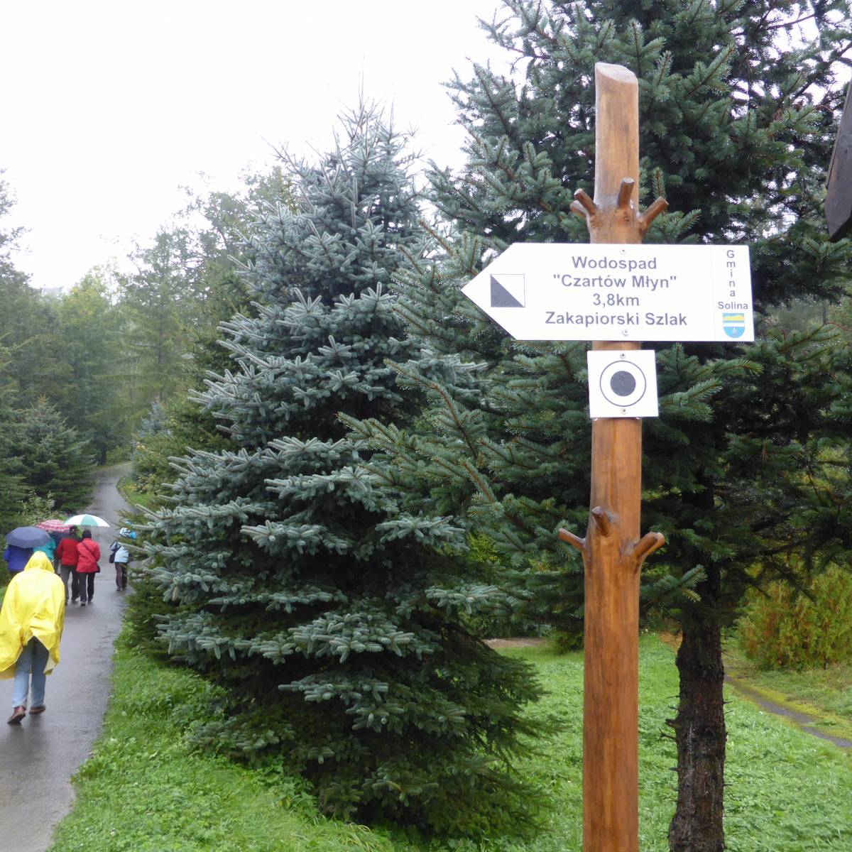
Podkarpacie to region pełen różnorodnych krajobrazów, atrakcji i możliwości aktywnego wypoczynku. W naszym mapoprzewodniku znajdziesz starannie wybrane propozycje wycieczek pieszych, rowerowych oraz krajoznawczych prowadzących przez najciekawsze zakątki południowo-wschodniej Polski. Trasy obejmują malownicze tereny Beskidu Niskiego i Bieszczadów, urokliwe doliny Sanu i Wisły, wyjątkowe przyrodniczo obszary Roztocza oraz okolice Rzeszowa i innych podkarpackich miejscowości.