

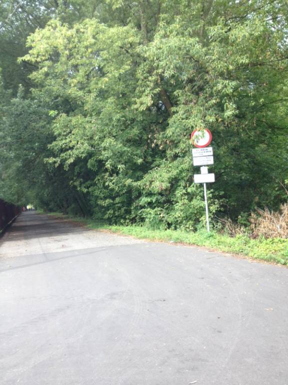

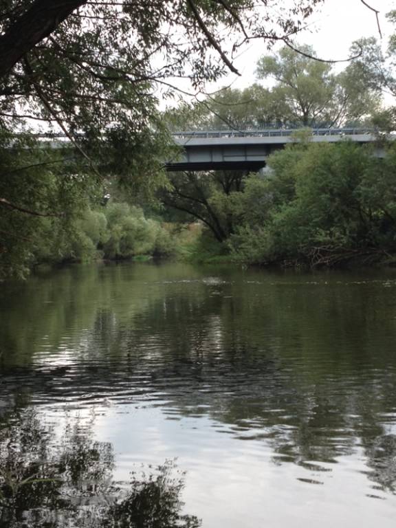
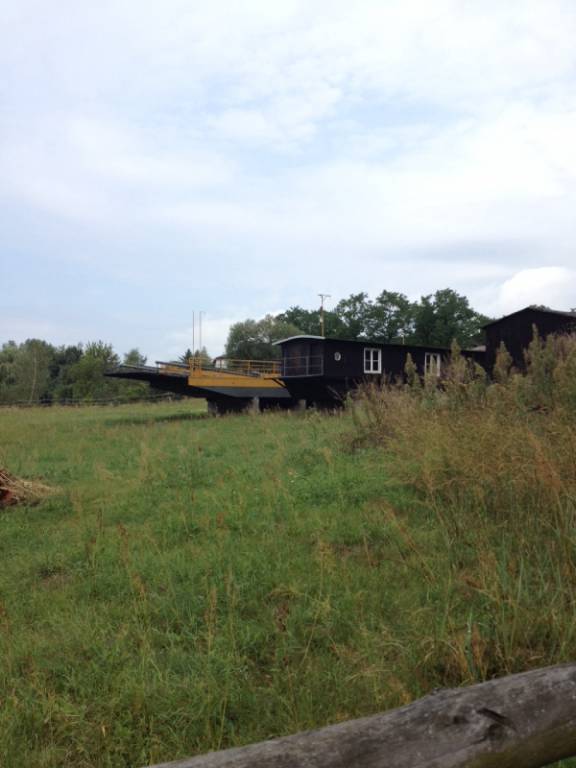


Charakterystyka trasy

Komentarze
NA TYCH TRASACH PRZYDA CI SIĘ MAPOPRZEWODNIK LUB MAPA Z NASZEJ APLIKACJI
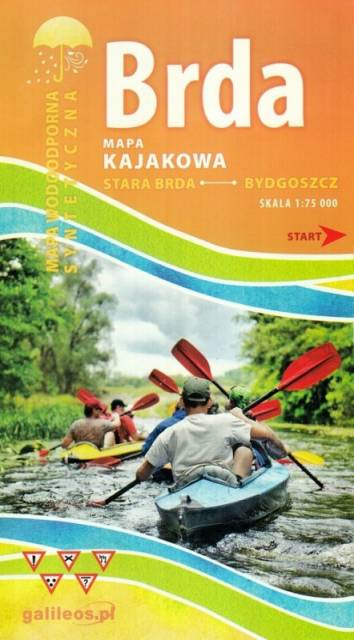
Mapa Brda przedstawia szlak kajakowy rzeką Brdą, od Tucholi do Bydgoszczy. Na mapie zaznaczono kilometraż rzeki oraz obiekty istotne dla kajakarza takie jak miejsca niebezpieczne, przeszkody na trasie spływu, pola biwakowe.
Mapa jest zorientowana zgodnie z kierunkiem płynięcia.


Nadleśnictwo Brodnica położone jest w województwie kujawsko-pomorskim, na obszarze Pojezierza Brodnickiego. W granicach nadleśnictwa utworzono dwa parki krajobrazowe: Brodnicki Park Krajobrazowy o pow. ok. 13 ha oraz Górznieńsko-Lidzbarski Park Krajobrazowy o pow. ok. 28 ha. Jest to bardzo malowniczy obszar, pokryty głównie sosnowymi lasami, a krajobraz urozmaicają liczne jeziora.

Mapa "Pojezierze Powidzkie" obejmuje powiat słupecki i okolice, wraz z Powidzkim i Nadwarciańskim Parkiem Krajobrazowym oraz przepięknym opactwem cysterskim w Lądzie. Zaznaczono na niej informacje przydatne turyście, oraz podano przebiegi szlaków pieszych i rowerowych.