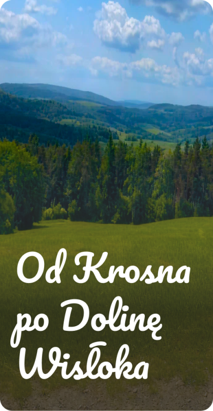
category-icon

Trasa_Kaczorowy_nad_rzeką_wisłoką.

4.3 km
1 h 23 min
106 m
111 m
Polska, podkarpackie, Jasło
Zdjęcie 1
Zdjęcie 2
Zdjęcie 3
Zdjęcie 4
Zdjęcie 5
Zdjęcie 6

Charakterystyka trasy

2022-03-13
Polska, podkarpackie, Jasło
category-icon
4.3 km
106 m
111 m
1 h 23 min
3.2/6
Trasa prowadzi przez krzaki obok rzeki Wisłoki.

Komentarze

NA TYCH TRASACH PRZYDA CI SIĘ MAPOPRZEWODNIK LUB MAPA Z NASZEJ APLIKACJI

Strzyżów Piedmont. The area of Jasło and Krosno
MAPA TURYSTYCZNA W APLIKACJI TRASEO
Strzyżów Piedmont. The area of Jasło and Krosno

Pogórze Strzyżowskie (The Strzyżów Piedmont) is part of the Central Beskidian Piedmont, a set of mountain ranges of the Outer Eastern Carpathians, in far southeastern Poland. The map range: Pilzno and Skołyszyn to the west, Dębica and Sędziszów Małopolski to the north, Czudec and Besko to the east, Dukla and Rymanów to the south.

Miejscowości na trasie