


Charakterystyka trasy

Komentarze
NA TYCH TRASACH PRZYDA CI SIĘ MAPOPRZEWODNIK LUB MAPA Z NASZEJ APLIKACJI
Turystyczna mapa "Kazimierz Dolny" i okolic w świetnej skali 1:35 000. Znaleźć na niej można wszystkie ważne dla turysty informacje z tych pięknych terenów dotyczące nie tylko cennych zabytków, ale i tras pieszych, rowerowych, rezerwatów przyrodniczych i parków krajobrazowych. Mapa zawiera aktualną infrastrukturę turystyczną. Mapa swoim zasięgiem obejmuje także Kazimierski Park Krajobrazowy, Nałęczów i Puławy.
Mapa przedstawia okolice jednego z największych sztucznych zbiorników wodnych w Polsce. Zalew Sulejowski rozciąga się między Sulejowem a Smardzewicami z południowego-zachodu na północny-wschód. Dzięki większemu arkuszowi zasięg tego wydania mapy został znacznie powiększony, i wyznaczają go: Tomaszów Mazowiecki na północy, Piotrków Trybunalski na zachodzie, Sulejów na południu i Sławno na wschodzie. Mapa adresowana jest zarówno dla wodniaków korzystających z walorów Zalewu Sulejowskiego jak miłośników wypraw rowerowych i pieszych wędrówek dla mieszkańców Tomaszowa Maz., Piotrkowa Trybunalskiego i pozostałych okolicznych miejscowości.
Zalew stwarza znakomite warunki do uprawiania sportów i wszelkiej rekreacji wodnej.
Jego atutem jest naturalna i urozmaicona, porośnięta w większości borami sosnowymi linia brzegowa, na której występują liczne plaże. Atrakcyjne środowisko naturalne w połączeniu z dobrym zagospodarowaniem turystycznym gwarantują udany wypoczynek nad wodą.
Na odwrocie mapy znajduje się informator krajoznawczy, wędkarski i żeglarski.
Rok wydania: 2021
Wielbark to niewielka miejscowość położona na południe od Szczytna. Bogactwo tutejszych lasów ukazuje już sama okładka tej mapy. Poza darami runa leśnego tereny te oferują jeszcze wiele innych ciekawych miejsc godnych odwiedzenia i zgłębienia swoich tajemnic. Przed II w. św. okolice te leżały na pograniczu polsko-niemieckim - wciąż zobaczyć możemy tutaj pozostałości po dawnej granicy czy też zrekonstruowany dawny posterunek graniczny. Rzeka Omulew dostarcza niezapomnianych wrażeń kajakarzom, są też przygotowane szlaki rowerowe, czy szlak Nordic Walking. Przepastne lasy zapewniają spokój i odpoczynek na trasie - jest pięknie...
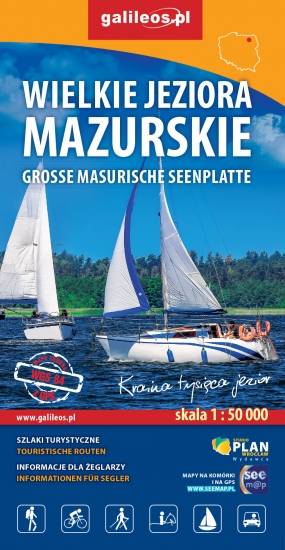
Przedstawia północną część krainy Wielkich Jezior Mazurskich. Zasięg mapy ograniczony jest miesjcowościami Węgorzewo na północy, jeziorem Gołdopiwo na wschodzie, Tałty na południu oraz Ryn i Kwiedzina na zachodzie. Mapa posiada informacje przydatne dla żeglarzy, zawiera szczegółowe informacje dotyczące przystani wraz z ich infrastrukturą, miejsca czarterów, oraz specjalne oznakowania na jeziorach a także ich batymetrię. Na mapie naniesiono również szlaki piesze, rowerowe, konne, kajakowe i ścieżki dydaktyczne, formy ochrony przyrody, bazę noclegową i gastronomiczną, najważniejsze atrakcje turystyczne.

Mapa turystyczna "Park Krajobrazowy Mierzeja Wiślana" została opracowana we współpracy z pracownikami tegoż Parku, dzięki czemu stanowi dokładne i rzetelne źródło informacji na temat tego obszaru. Mapa Mierzei Wiślanej doskonale nadaje się do uprawiania zarówno turystyki pieszej, jak i rowerowej. Mapa swoim obszarem zamyka się na zachodzie przy Mikoszewie, na wschodzie zaś przy Fromborku.