Manfred04Manfred04
Charakterystyka trasy
2023-04-22
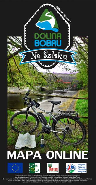
Polska, dolnośląskie, Lubań

Długość trasy:
67 kmSuma przewyższeń:
745 mSuma spadków:
771 mŚredni czas potrzebny na pokonanie trasy:
6 h 16 minOcena trasy:
1.3/6Komentarze
NA TYCH TRASACH PRZYDA CI SIĘ MAPOPRZEWODNIK LUB MAPA Z NASZEJ APLIKACJI
MAPA TURYSTYCZNA W APLIKACJI TRASEO
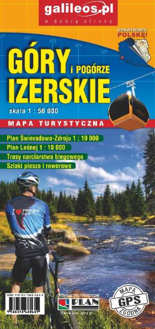
Góry Izerskie
Mapa turystyczna "Góry Izerskie" przedstawia duży obszar polskiej i czeskiej części tych gór. Granicę mapy na zachodzie wyznacza czeski Liberec, na północy Gryfów Śląski, a na wschodzie fragment Parku Krajobrazowego Doliny Bobru. Na mapie znajdują się także Szklarska Poręba, Jakuszyce oraz Harrachov. Rok wydania 2020

MAPA TURYSTYCZNA W APLIKACJI TRASEO
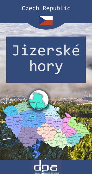
Góry Izerskie
Mapa obejmuje czeską część Góry Izerskich, malowniczego pasma Sudetów rozciągającego się na styku granic Polski, Czech i Niemiec. Region znany jest jako ważny ośrodek sportów zimowych - w tym narciarstwa biegowego. Na Polanie Jakuszyckiej odbywa się m.in. Bieg Piastów, a po czeskiej stronie tzw. Jizerská padesátka – bieg na nartach na odcinku 50 km. Po czeskiej stronie funkcjonuje także popularne centrum narciarstwa zjazdowego w Bedřichovie.