Charakterystyka trasy

Komentarze
NA TYCH TRASACH PRZYDA CI SIĘ MAPOPRZEWODNIK LUB MAPA Z NASZEJ APLIKACJI

Mapa Kociewia i Powiśla w części zachodniej obejmuje obszar zamknięty przez Skarszew na zachodzie, Kwidzyn na południu, Malbork na wschodzie i Tczew na północy. Mapa zawiera szczegółowy obraz terenu, wraz ze szlakami i atrakcjami turystycznymi. Na mapie Powiśla i Kociewia znajdziemy m.in. Szlak Zamków Powiśla, Szlak Grzymisława, EuroVelo 9 i Szlak Kopernikowski.
Kociewie jest to region etnograficzno-kulturowy na Pomorzu Gdańskim, położony na lewym brzegu Wisły w dorzeczu Wdy i Wierzycy, obejmujący wschodnią część Borów Tucholskich. W przybliżeniu Kociewie zajmuje obszar obecnych powiatów starogardzkiego, tczewskiego i północnej części świeckiego, zamieszkany przez ok. 350 tys. mieszkańców. Część mieszkańców regionu posługuje się gwarami kociewskimi.
Mapa Kaszub dla rowerzystów i piechurów część północna. Zasięg mapy ograniczony jest miejscowościami: Lipusz i Sulęczyno na zachodzie, Lębork i Nowy Dwór Wejherowski na północy, Żukowo i Przywidz na wschodzie oraz Gołuń i Wdzydze Kiszewskie na południu. Na mapie uwgzlędniono trasy rowerowe, szlaki piesze i Nordic Walking z długościami. Dodatkowo zaznaczone zostały drogi polne, leśne oraz szlaki kajakowe. Są tu też zabytki, noclegi, muzea, punkty widokowe, szczególnie warte odwiedzenia miejsca zaznaczono żółtą ramką.
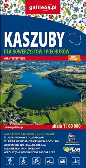
Mapa Kaszub obejmuje obszar Pojezierza Kaszubskiego wraz z Kaszubskim, Wdzydzkim i fragmentem Trójmiejskiego Parku Krajobrazowego oraz część Borów Tucholskich. Zasięg mapy wyznaczają: Bieszkowice na północy, Zblewo na południu, Dziemiany na zachodzie i Gdańsk na wschodzie. Rok wydania 2022
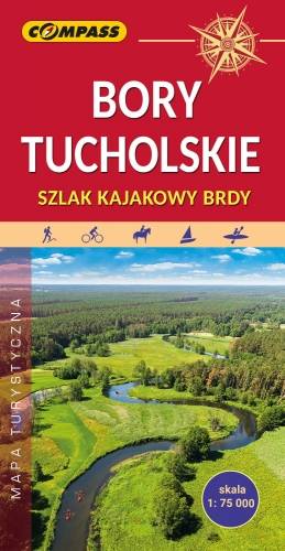
Mapa Borów Tucholskich przedstawia jest obszar, który jest jednym z największych kompleksów sosnowych w Polsce. Rozciąga się on się w dorzeczu Brdy i Wdy oraz w obrębie Równiny Tucholskiej i Równiny Charzykowskiej. Granice mapy wyznaczają: Wdzydze Tucholskie i Starogard Gdański na północy, Widno i Chojnice na zachodzie, Wierzchucin na południu i Warlubie na wschodzie. Rok wydania: 2024
Mapa obejmuje Kaszubski, Wdzydzki i Zaborski Park Krajobrazowy oraz Park Narodowy Bory Tucholskie. Najważniejsze miejscowości które znalazły się namapie to: Kartuzy, Ostrzyce, Szymbark, Bytów, Kościerzyna, Brusy, Swornegacie, Charzykowy, Chojnice i Człuchów. Na mapie zaznaczono miejscowości, drogi, zabytki, ważniejsze noclegi, szlaki piesze, rowerowe i kajakowe z kilometrażem, przystanie i kąpieliska.