


inginioinginio
Charakterystyka trasy
2018-03-11

Długość trasy:
174 kmSuma przewyższeń:
7005 mSuma spadków:
5236 mOcena trasy:
1.0/6Komentarze
NA TYCH TRASACH PRZYDA CI SIĘ MAPOPRZEWODNIK LUB MAPA Z NASZEJ APLIKACJI
MAPA TURYSTYCZNA W APLIKACJI TRASEO
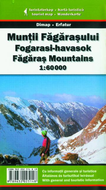
Góry Fogaraskie
Mapa najwyższego i najbardziej popularnego wśród turystów pasma górskiego Rumunii. Góry Fogaraskie rozciągają się w środkowej części tego kraju, pomiędzy Wyżyną Transylwańską i Niziną Wołoską. Najwyższy szczyt, Moldoveanu, osiąga wysokość 2544 m n.p.m. Przez północną część pasma przebiega atrakcyjna turystycznie, malownicza Szosa Transfogaraska, która osiąga wysokość ponad 2 000 m n.p.m. i jest dostępna tylko latem.
Uwaga! Mapa obarczona niewielkim błędem kalibracji - ok. 200 m przesunięcia w stosunku do podkładu google maps.
Uwaga! Mapa obarczona niewielkim błędem kalibracji - ok. 200 m przesunięcia w stosunku do podkładu google maps.