Ruciane-Nida (0.0 km) · Guzianka Lock (1.5 km) · Wejsuny (6.3 km) · Szeroki Bór (16.1 km) · Seed Processing Plant (21.6 km) · Ruciane-Nida (22.6 km)
A trail for lovers of long forest excursions. This is probably the best route for exploring the Piska Primeval Forest. You can spice up your bike trip with a walk along the “Ruciane Forest – Trail of the Old Oaks” educational trail.
We start the trip at the Tourist Information Center in Ruciane-Nida. We head northeast. Up to the village of Wejsuny, the yellow-marked route coincides with the red “Bełdany Loop” bike trail and the “Masurian Bike Loop.” At the intersection in Wejsuny, turn east—that is, to the right. Following a road with a good asphalt surface and light traffic, we reach the end of the village and then enter the forest. For about 2.5 km, we ride among the trees, mostly conifers. We turn right onto fire road No. 10. On this section, the road surface may be of poorer quality.
On the left, deep in the forest, lies a fenced-off area. This was once a research center for the German Luftwaffe and the headquarters of Third Reich Marshal Hermann Göring. Until recently, it housed a Polish Army recreation center. The buildings are picturesquely situated on Lake Jegocinek; however, attempting to tour the area today may result in an encounter with Military Police officers.
We turn right and make our way through another stretch of forest. Upon exiting the forest, we cross National Road No. 58 and the railroad tracks running parallel to it. On the left, a few hundred meters away, is the Szeroki Bór train station. Following the paved road, we reach the village of the same name. The settlement was founded around 1700. Initially, the residents mined bog iron ore, and after the ore was depleted, they turned to logging. It’s worth taking a detour from the trail into the village to see the authentic Masurian architecture from the early 20th century. Unfortunately, this short stretch is paved. An information sign about the village is located in its center, not far from the fork in the road.
We leave Szeroki Bor via the same road and follow the signs northwest toward Ruciane-Nida.
After riding about 4 km, we cross the railroad tracks again, and after another kilometer, we reach the national highway. The final section of the route follows this busy road. Fortunately, it’s not very long. Upon reaching Ruciane-Nida, we can turn onto a bike path that leads straight to the end of the trail at the Tourist Information Center. Along the way, on the outskirts of town, we’ll see a historic seed-hulling plant on the left.
Opposite the seed-shelling plant is an entrance to the forest, where you’ll see the “Królewskie Dęby” natural monument. The larger of the two trees is over 500 years old and has a circumference of about 5.5 meters. You can take a break here, leaving your bikes at the picturesque parking lot by the lake, and take a stroll along the “Ruciański Forest – Trail of the Old Oaks” educational path.
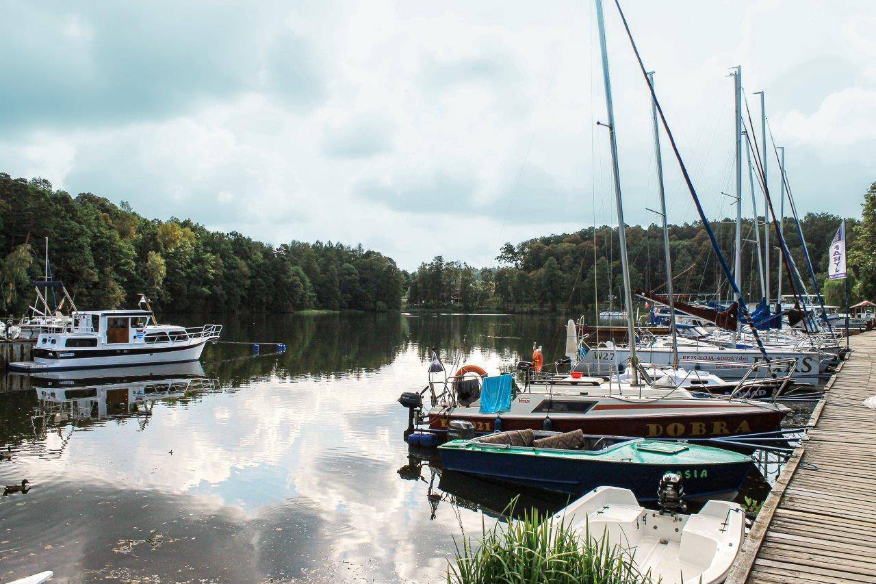
As we approach the center of Ruciane-Nida, we first pass a tower bunker on the Nida Canal, part of the “Masurian Lakes Position” fortification complex, followed by a sailing marina, a passenger ship terminal, and a rope park.
The trail is marked in yellow. The route mostly follows paved roads or very good gravel roads with light traffic.
Ruciane-Nida lies on one of the two railway lines connecting Olsztyn with Ełk. Regional trains and several long-distance trains stop here.
Road access is provided by National Road No. 58, which runs from Olsztynka through Szczytno, Ruciane-Nida, and Pisz, among other towns.
The Seed Processing Plant in Ruciane-Nida
The seed processing plant was established even before World War I. At that time, the Piska Forest was smaller than it is today. This situation was caused by very intensive forest management, which could be described as exploitative. Starting in the 1870s, a large number of sawmills were established in the area, mainly on the forest’s outskirts. One example is Anders’s sawmill in Ruciane. This was a period of very rapid economic development in Germany, and thus a high demand for building materials. East Prussia—which includes the current territory of the Warmian-Masurian Voivodeship, among others—was part of the German state. The rapid deforestation around the sawmills led to the desertification of Masuria. Large sandy areas devoid of vegetation began to appear. It was decided to address the problem through reforestation. The launch of a seed extraction plant was intended to aid in this effort.
Ruciański Forest – The Trail of the Old Oaks
An educational trail consisting of two loops, 4 km and 2.5 km long. It winds through stately oaks and pines across a peninsula surrounded by the waters of Lakes Guzianka Wielka and Mała, as well as alongside the small forest lake Gaik. Educational signs have been placed along the trail.
Masurian Landscape Park
This is the largest landscape park in the Warmian-Masurian Voivodeship and one of the largest in Poland, covering over 53 ha. It stretches between Mrągowo and Stare Kiełbonki on one side and Orzysz and Pisz on the other. Mikołajki and Ruciane-Nida lie on its outskirts. A significant portion of the park’s area consists of lakes, including Lake Śniardwy, the largest lake in Poland. In addition to large bodies of water, there are also small dystrophic lakes, swamps, and peat bogs, as well as numerous streams and rivers, including the Krutynia, considered one of the most picturesque kayaking routes. The park also encompasses vast forested areas—the northern part of the Piska Primeval Forest. Deciduous forests and pine forests dominate the landscape here. Nearly 100 trees or groups of trees have been designated as natural monuments.
Luftwaffe Research Center
The center was built in the mid-1930s. Research on rocket engines and guided missiles was conducted deep in the forest. The next step, on the orders of Hermann Göring, was the construction of ten command bunkers and a luxurious villa intended for him. During World War II, this site served as one of the command headquarters of the Third Reich’s armed forces—alongside the Wolf’s Lair and Mamerek—namely, the Headquarters of the Air Force High Command (OKL) “Breitenheide,” meaning “Wide Forest.”