category-icon

Szosa gminy zalicza

200 km
10 h 45 min
388 m
393 m
Koronowo
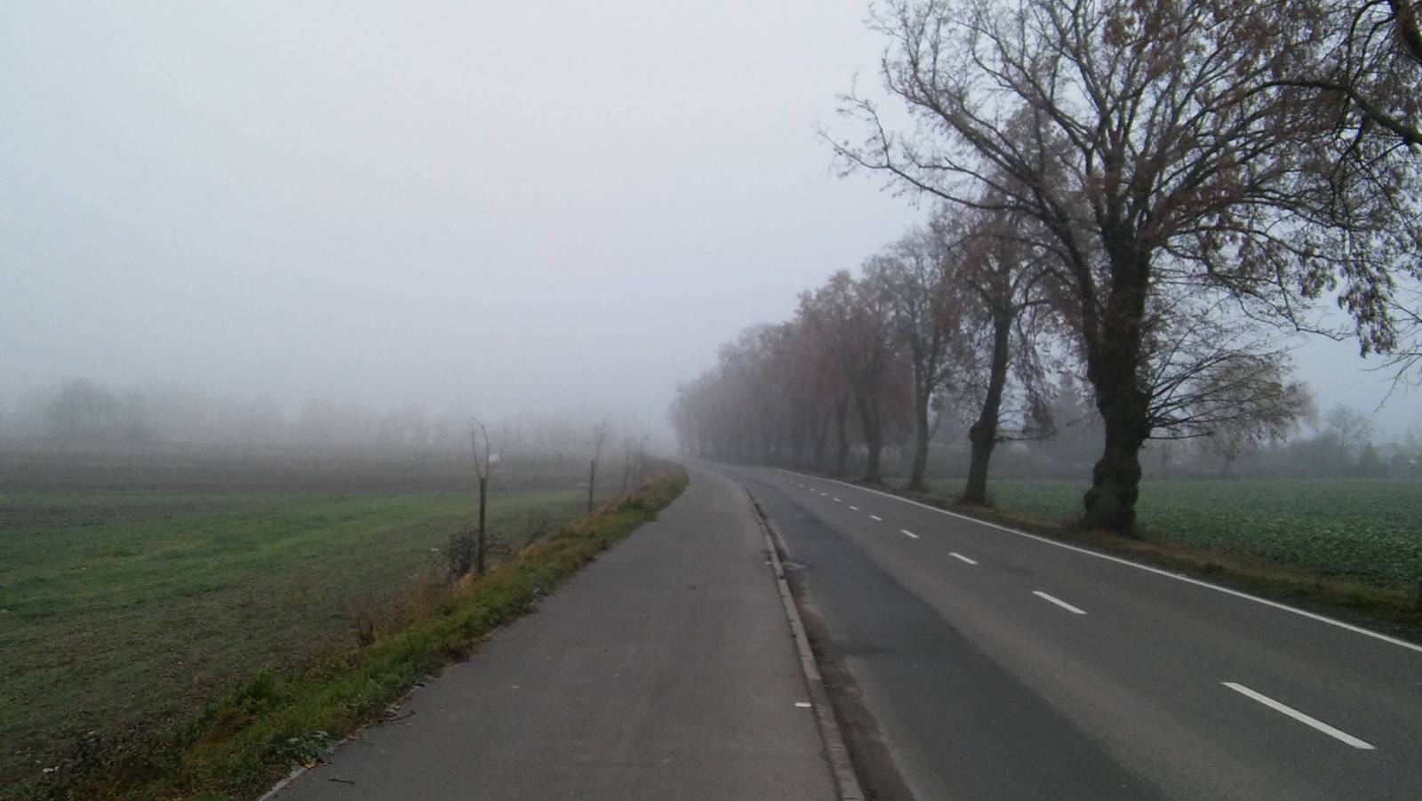
Zdjęcie 1
Zdjęcie 2
Zdjęcie 3
Zdjęcie 4

Charakterystyka trasy

2016-11-26
Koronowo
category-icon
Długość trasy:
200 km
Suma przewyższeń:
388 m
Suma spadków:
393 m
Średni czas potrzebny na pokonanie trasy:
10 h 45 min
Ocena trasy:
3.1/6
Zapraszam do przeczytania relacji na blogu: http://andale.bikestats.pl/1535726,Szosa-gminy-zalicza.html

Komentarze

NA TYCH TRASACH PRZYDA CI SIĘ MAPOPRZEWODNIK LUB MAPA Z NASZEJ APLIKACJI
Brda - cz. południowa
MAPA TURYSTYCZNA W APLIKACJI TRASEO
Brda - cz. południowa

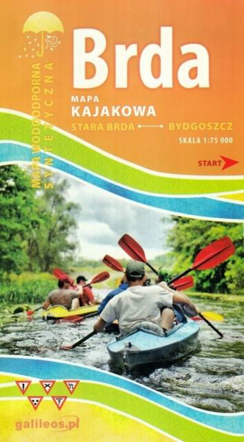
Mapa Brda przedstawia szlak kajakowy rzeką Brdą, od Tucholi do Bydgoszczy. Na mapie zaznaczono kilometraż rzeki oraz obiekty istotne dla kajakarza takie jak miejsca niebezpieczne, przeszkody na trasie spływu, pola biwakowe.

Mapa jest zorientowana zgodnie z kierunkiem płynięcia.
Żołędowo Forests
MAPA TURYSTYCZNA W APLIKACJI TRASEO
Żołędowo Forests
Map presents northern part of Bydgoszcz region. Map range: Świekatów to the north, Bydgoszcz Aeroport to the south, Nakło nad Notecią to the west and Dąbrowa Chełmińska to the east.
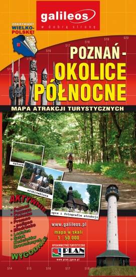
Poznań Region. Northern Part
MAPA TURYSTYCZNA W APLIKACJI TRASEO
Poznań Region. Northern Part

The map presents part of the Greater Poland Voivodeship in west-central Poland, south from Poznań. It covers such areas as the Puszcza Zielonka Landscape Park and the Promno Landscape Park. Tourist attractions, cycling and walking trails are marked on the map, as well as other information useful for tourists.

Powidzkie Lakeland
MAPA TURYSTYCZNA W APLIKACJI TRASEO
Powidzkie Lakeland

The map covers the Słupca County with the Powidz Landscape Park and the Warta Landscape Park. Famous Cistercian monastery in Ląd is presented on the map, as well as other tourist attractions, cycling and walking trails.

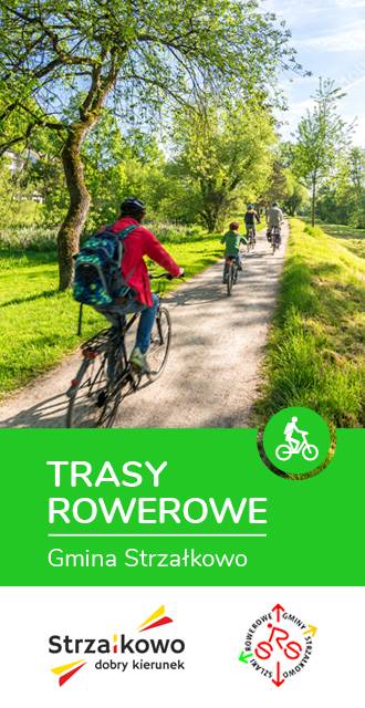
Gmina Strzałkowo. Mapa tras rowerowych
MAPA TURYSTYCZNA W APLIKACJI TRASEO
Gmina Strzałkowo. Mapa tras rowerowych

Gmina Strzałkowo. Mapa tras rowerowych

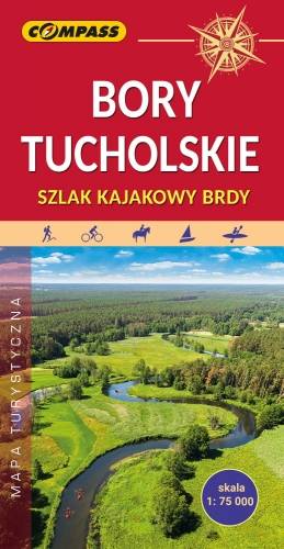
Tuchola Forest
MAPA TURYSTYCZNA W APLIKACJI TRASEO
Tuchola Forest

The Tuchola Forest (Bory Tucholskie) is a large pine woods near the town of Tuchola in northern Poland, which lies between Brda and Wda Rivers. The area is one of the biggest forests in Poland and Central Europe, and it is protected by the Tuchola Forest National Park. The map range: Wdzydze Tucholskie and Starogard Gdański to the north, Widno and Chojnice to the west, Wierzchucin to the south and Warlubie to the east.

Miejscowości na trasie