category-icon

Szosa 165km - Lubina Gromadka Złotoryja Jawor

165 km
5 h 47 min
397 m
403 m
Lubin, Chocianów, Złotoryja, Jawor, Legnica
Zdjęcie 1
Zdjęcie 2
Zdjęcie 3
Zdjęcie 4
Zdjęcie 5

Charakterystyka trasy

2022-12-31
Lubin, Chocianów, Złotoryja, Jawor, Legnica
category-icon
Długość trasy:
165 km
Suma przewyższeń:
397 m
Suma spadków:
403 m
Średni czas potrzebny na pokonanie trasy:
5 h 47 min
Ocena trasy:
3.0/6
Asfaltowa trasa typu pęta z Lubina. Jakość dróg bardzo dobra, jedynie 1/3 na odcinku Złotoryja - Jawor - asfalt o dużej granulacji taka trochę tarka.

Komentarze

NA TYCH TRASACH PRZYDA CI SIĘ MAPOPRZEWODNIK LUB MAPA Z NASZEJ APLIKACJI
Dolina Bobru
MAPA TURYSTYCZNA W APLIKACJI TRASEO
Dolina Bobru

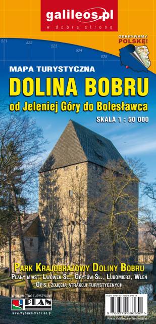
Mapa Doliny Bobru zasięgiem obejmująca obszar od Jeleniej Góry do Bolesławca. Na mapie zaznaczono szlaki turystyczne piesze i rowerowe oraz ważniejsze atrakcje turystyczne. 

Dolina Bobru
MAPA TURYSTYCZNA W APLIKACJI TRASEO
Dolina Bobru

Mapa Doliny Bobru, zaktualizowana w ternie. Obejmuje obszar od Jeleniej Góry na południu do Bolesławca na północy. Na mapie Doliny zaznaczono szlaki turystyczne piesze i rowerowe oraz najważniejsze atrakcje turystyczne. Rok wydania 2021

Kaczawskie Mountains and Kaczawskie Piedmont
MAPA TURYSTYCZNA W APLIKACJI TRASEO
Kaczawskie Mountains and Kaczawskie Piedmont

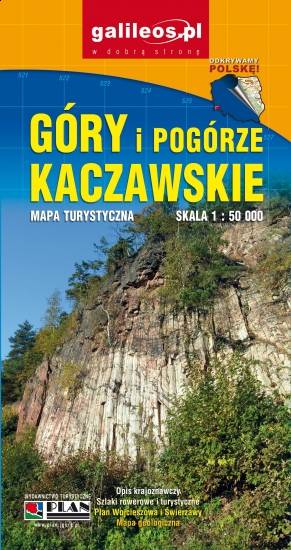
Góry Kaczawskie are a mountain range in the Western Sudetes in Poland, in the Lower Silesian Voivodeship. The highest peak is Skopiec (724 m). Map range: Legnica to the north and Jelenia Góra to the south. It depicts also area of the Dolina Bobru Landscape Park and the Chełmy Landscape Park. Tourist attractions, as well as cycling and walking trails are marked on the map.
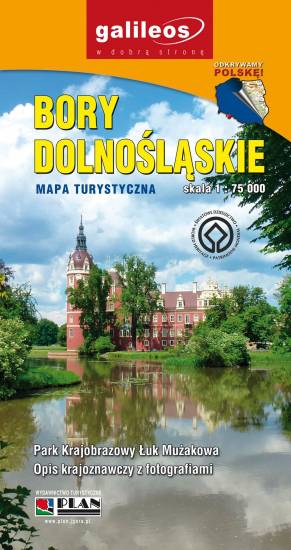
Odra Valley
MAPA TURYSTYCZNA W APLIKACJI TRASEO
Odra Valley

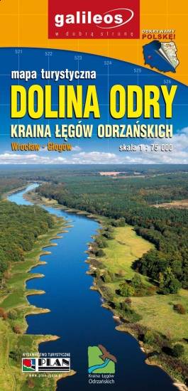
The map covers Odra Valley from Wrocław to Głogów, in the Lower Silesian Voivodeship, southern Poland. Tourist attractions, cycling and walking trails are marked on the map.

Lower Silesian Wilderness
MAPA TURYSTYCZNA W APLIKACJI TRASEO
Lower Silesian Wilderness

Lower Silesian Wilderness is the largest continuous forest in Poland, with a total area of 1650 square kilometers. It is located in south-western Poland, in the Lower Silesian Voivodeship and the Lubusz Voivodeship, near the border with Germany. The map also presents Polish and German part of the Lower Lusatia, the Przemków Landscape Park and the Łuk Mużakowa Landscape Park. The map ranges: Głogów and Chojnów to the east.
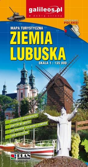
Lubusz Land
MAPA TURYSTYCZNA W APLIKACJI TRASEO
Lubusz Land

The map covers the Lubusz Voivodeship in western Poland. Monuments, cycling and walking trails and other information useful for tourists are marked on the map. Most interesting places are depicted with coloured graphic symbols.

Miejscowości na trasie