Marked on the map above, the Saar-Mosel-Main bike trail, also known as D-Route 5, is a stretch of nearly 1,000 kilometers, one of Germany's most fascinating long-distance trails. During the route, cyclists will overcome 2355m of ascents and 2098m of descents. The highest point of the route is at 801 m above sea level, while the lowest is 64 m above sea level.
Routing, attractions
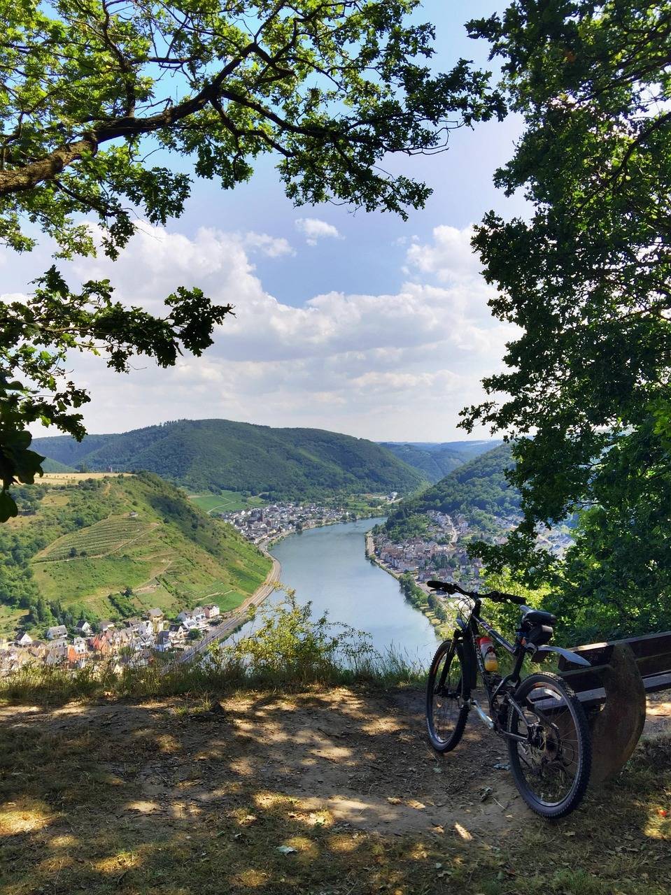
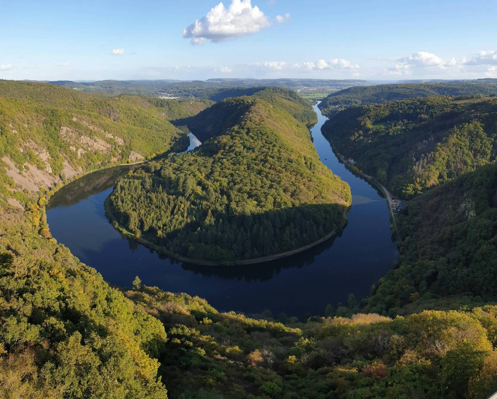
It begins at the German-French border in Saarbrücken, which can be reached by train, runs through Saarland, Rhineland-Palatinate, Hesse and Bavaria, ending at the border with the Czech Republic, in Schirnding. If you appreciate smooth, almost hill-free paths, you'll enjoy riding this route! The trail is exceptionally picturesque - it leads through the valleys of the Saar, Mosel, Rhine, Rheingau, Rhinehessen and Franconian rivers. It is worth noting points such as the Saar River loop with the Cloef viewpoint or Loreley- the legendary rock on the Rhine with a beautiful view of the valley. A trip along this route will be quite a treat for wine fans, as the trail leads through several famous wine regions that are known worldwide for their exceptional wines. It is worth visiting such wineries as "Juliusspital Weingut Würzburg", "VDP-"Weingut Fritz Haag", "Weingut Markus Molitor GmbH; Co. KG", "Weingut Dr. Loosen" or "Weingut Forstmeister Geltz Zilliken". There are also places on the route where it's worth stopping for a longer period - such as the oldest city in Germany - Trier, with its impressive Roman-era monuments, Germany's wine capital - Mainz, Bayreuth, known for its Wagner festival, where it's worth visiting the beautiful Baroque Margrabi opera house and the palace and garden complex called the Hermitage, or the modern metropolis with many urban attractions - Frankfurt am Main. Very good signage along the route, many rest areas, and ample lodging and dining options along the road make the trip comfortable and safe.
Komentarze
NA TYCH TRASACH PRZYDA CI
SIĘ MAPOPRZEWODNIK LUB MAPA Z NASZEJ APLIKACJI
MAPA TURYSTYCZNA W APLIKACJI TRASEO
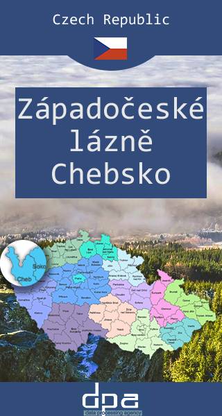
Czeskie uzdrowiska. Część zachodnia
Mapa przedstawia najbardziej na zachód wysunięty fragment Czech. Jest to zachodnia część słynnego na całą Europę regionu uzdrowiskowego, którego symbolem są m.in. Franciszkowskie Łaźnie.
MAPA TURYSTYCZNA W APLIKACJI TRASEO
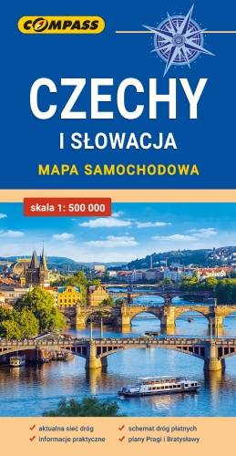
Czechy i Słowacja – mapa samochodowa
Mapa samochodowa Słowacji i Czech zawiera: aktualną sieć autostrad, dróg ekspresowych i głównych, z podziałem na dwupasmowe i jednopasmowe; drogi w budowie, numerację dróg oraz kilometraż. Na mapie zaznaczono: przejścia graniczne, Autostradowe Miejsca Obsługi Podróżnych, wybrane stacje benzynowe, parkingi i promy wodne, porty lotnicze, obszary leśne, parki narodowe, uzdrowiska, większe ośrodki narciarskie, obiekty na Liście UNESCO. Legenda w językach: polskim, angielskim, czeskim i słowackim. Mapa dodatkowo zawiera: - schemat dróg płatnych na Słowacji i w Czechach; - wykaz węzłów na autostradach i drogach ekspresowych na Słowacji; - plany Pragi i Bratysławy; - schemat metra w Pradze; - informacje praktyczne dla podróżujących samochodem po Słowacji i Czechach (m.in.: wybrane przepisy drogowe, wymagane dokumenty, obowiązkowe wyposażenie samochodu, rodzaje winiet). Mapę offline można zakupić w aplikacji Traseo na urządzenia mobilne. Rok wydania 2020