
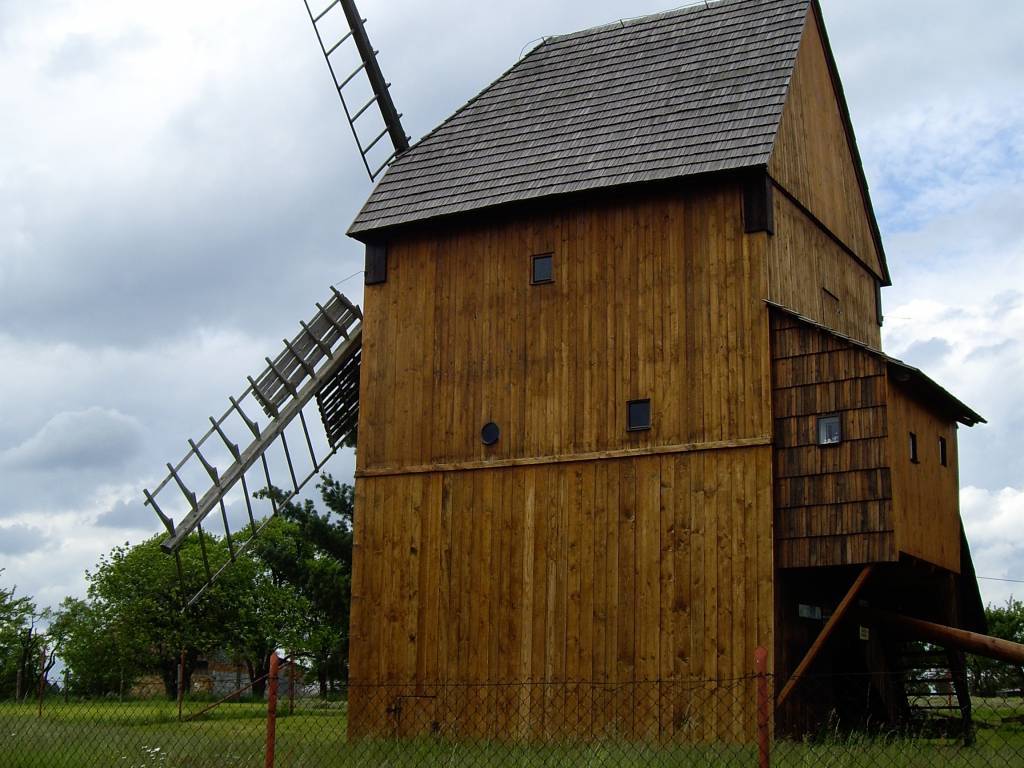
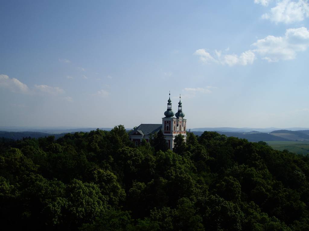

Charakterystyka trasy

Komentarze
NA TYCH TRASACH PRZYDA CI SIĘ MAPOPRZEWODNIK LUB MAPA Z NASZEJ APLIKACJI
Mapa Biskupiej Kopy i obszaru całych Gór Opawskich, zarówno po stronie polskiej jak i czeskiej. Na mapie jest Góra parkowa, Biskupia Kopa, Góra Poprzeczna oraz obszar wokół Dzikowca. Mapa posiada aktualny przebieg tras turystycznych pieszych z długościami i czasami przejść. Naniesiono tu również ścieżki rowerowe i ścieżki przyrodnicze.
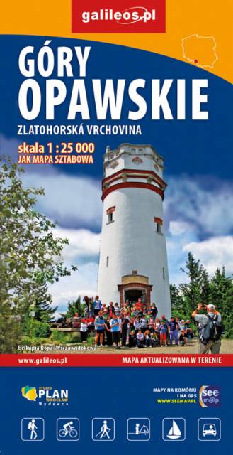
Mapa obejmuje obszar Gór Opawskich zarówno po stronie polskiej jak i czeskiej. Na mapie zaznaczono takie szczyty jak: Góra parkowa, Biskupia Kopa, Góra poprzeczna oraz obszar wokół Dzikowca. Zawiera aktualny przebieg tras turystycznych pieszych z długościami i czasami przejść oraz tras rowerowych i ścieżki przyrodnicze. Zaznaczono powstałe w ostatnich latach wiatrołomy. Miejsca atrakcyjne oznaczono kolorem żółtym. Rok wydania: 2022
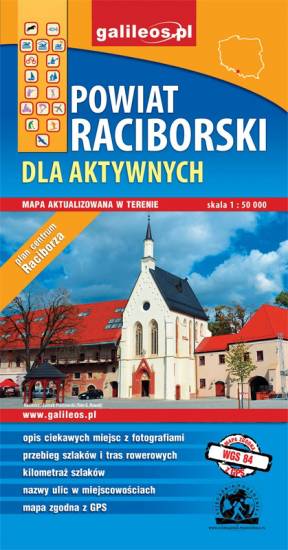
Mapa Raciborza i okolic obejmuje obszar, w skład którego wchodzą gminy: Racibórz, Kornowac, Nędza, Kuźnia Raciborska, Rudnik, Pietrowice Wielkie, Krzanowice, Krzyżanowice. Szczególnie atrakcyjne miejsca zaznaczono żółtą ramką. Podano aktualne przebiegi szlaków pieszych, rowerowych i dydaktycznych, łącznie z kilometrażem.

Mapa Rybnika i okolic obejmuje Żory, Jastrzębie-Zdrój, Rybnik i Wodzisław Śląski. Zaznaczono na niej informacje przydatne turyście, jak zabytki, noclegi, granice obszarów chronionych. W miejscowościach opisano nazwy głównych ulic. Podano aktualne przebiegi szlaków pieszych i rowerowych.