Charakterystyka trasy

Komentarze
NA TYCH TRASACH PRZYDA CI SIĘ MAPOPRZEWODNIK LUB MAPA Z NASZEJ APLIKACJI
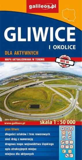
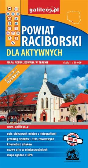
The map presents the Racibórz County in the Upper Silesia region, Poland. It is comprised of five municipalities: Racibórz, Kornowac, Nędza, Kuźnia Raciborska, Rudnik, Pietrowice Wielkie, Krzanowice, Krzyżanowice. The most interesting places are highlighted with a yellow frame. Cycling, walking and didactic trails are marked on the map.

The map range: Żory in Poland to the east, Karviná in Czech Republic to the south, Wodzisław Śląski (Poland) and Ostrava suburbs (Czech Republic) to the west, and Gliwice suburbs (Poland) to the north. Tourist attractions, cycling and walking trails, boundaries of protected areas, as well as accomodation facilities are marked on the map.
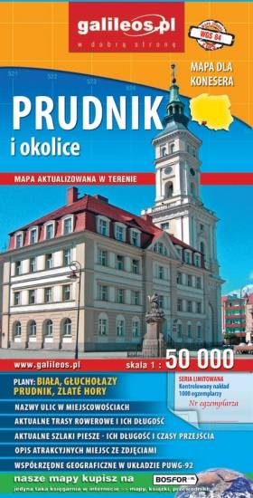
The map presents part of the Opole Voivodeship in southern Poland, from Nysa and Krapkowice to Głuchołazy and Město Albrechtickie in Czech Republic. Monuments, cycling and walking trails and other information useful for tourists are marked on the map. The map on paper was published in a limited edition of only 1000 copies.
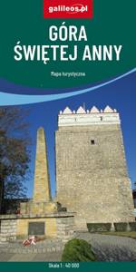
Obszar naniesiony na mapę Góry Świętej Anny przedstawia dużo większy obszar niż jej tytuł, ograniczona jest miejscowościami: Strzeleczki, Walce, Kędzierzyn-Koźle, Toszek i Opole. Na mapie zaznaczono: szlaki piesze oraz rowerowe (mają podane długości). Są tu również szlaki konne i kajakowe. Dzięki informacjom zawartym na mapie planowanie wycieczki z jakiejkolwiek formy turystyki staje się proste.