


Charakterystyka trasy

Komentarze
NA TYCH TRASACH PRZYDA CI SIĘ MAPOPRZEWODNIK LUB MAPA Z NASZEJ APLIKACJI

Mapa przedstawia szlak kajakowy rzeką Wdą od miejscowości Śluza do Klanin. Na mapie zaznaczono kilometraż rzeki oraz obiekty istotne dla kajakarza takie jak miejsca niebezpieczne, przeszkody na trasie spływu, pola biwakowe. Mapa jest zorientowana zgodnie z kierunkiem płynięcia.
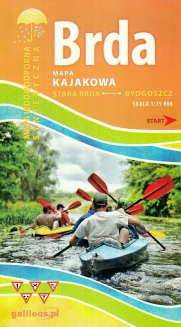
Mapa Brda przedstawia szlak kajakowy rzeką Brdą, od Nowej Brdy do Tucholskiego PK. Na mapie zaznaczono kilometraż rzeki oraz obiekty istotne dla kajakarza takie jak miejsca niebezpieczne, przeszkody na trasie spływu, pola biwakowe.
Mapa jest zorientowana zgodnie z kierunkiem płynięcia.
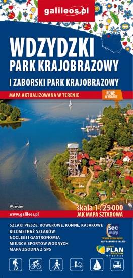
Mapa Parków Krajobrazowych Wdzydzkiego i Zaborskiego. Na mapie zaznaczono przebieg szlaków pieszych, rowerowych, konnych i kajakowych. Przy szlakach uwzględniono kilometraż. Na mapie znajdziemy położenie punktów noclegowych i gastronomicznych. Rok wydania: 2020
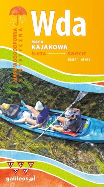
Mapa przedstawia szlak kajakowy rzeką Wdą od miejscowości Klanin do Świecia. Na mapie zaznaczono kilometraż rzeki oraz obiekty istotne dla kajakarza takie jak miejsca niebezpieczne, przeszkody na trasie spływu, pola biwakowe. Mapa jest zorientowana zgodnie z kierunkiem płynięcia.
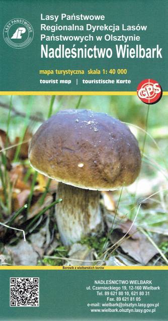
Wielbark to niewielka miejscowość położona na południe od Szczytna. Bogactwo tutejszych lasów ukazuje już sama okładka tej mapy. Poza darami runa leśnego tereny te oferują jeszcze wiele innych ciekawych miejsc godnych odwiedzenia i zgłębienia swoich tajemnic. Przed II w. św. okolice te leżały na pograniczu polsko-niemieckim - wciąż zobaczyć możemy tutaj pozostałości po dawnej granicy czy też zrekonstruowany dawny posterunek graniczny. Rzeka Omulew dostarcza niezapomnianych wrażeń kajakarzom, są też przygotowane szlaki rowerowe, czy szlak Nordic Walking. Przepastne lasy zapewniają spokój i odpoczynek na trasie - jest pięknie...