
category-icon

Powrót ze Sławy

164 km
12 h 24 min
985 m
702 m
Jelenia Góra
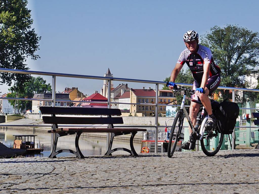
Zdjęcie 1
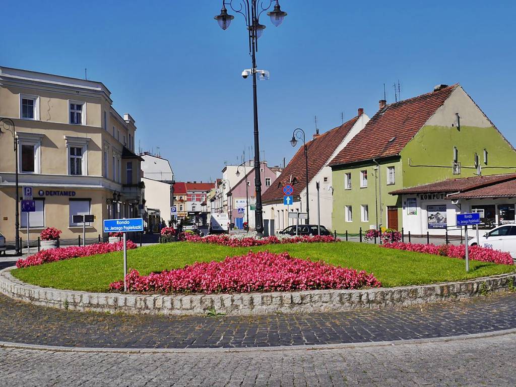
Zdjęcie 2
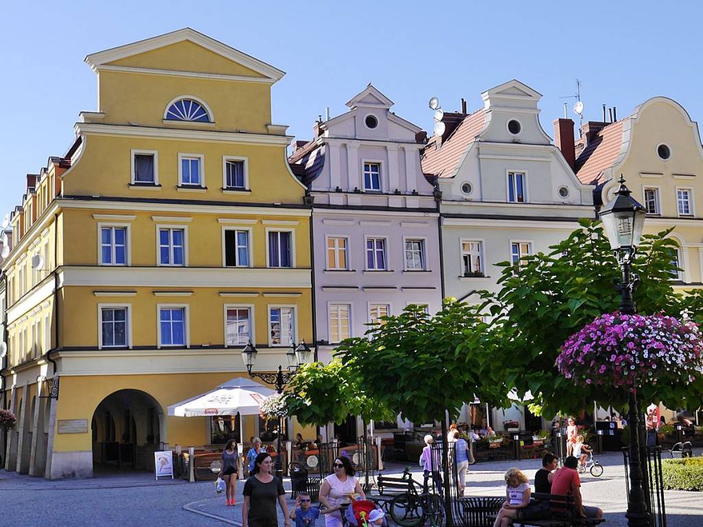
Zdjęcie 3

Charakterystyka trasy

2016-08-26
Jelenia Góra
category-icon
Długość trasy:
164 km
Suma przewyższeń:
985 m
Suma spadków:
702 m
Średni czas potrzebny na pokonanie trasy:
12 h 24 min
Ocena trasy:
2.9/6
Sława - Konotop - Nowa Sól - Kożuchów - Szprotawa - Bolesławiec - Lwówek Śl. - Wleń - Jelenia Góra.

Komentarze

NA TYCH TRASACH PRZYDA CI SIĘ MAPOPRZEWODNIK LUB MAPA Z NASZEJ APLIKACJI
Valley of Palaces and Gardens
MAPA TURYSTYCZNA W APLIKACJI TRASEO
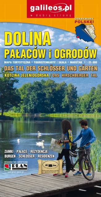
Valley of Palaces and Gardens

The Valley of Palaces and Gardens is a very detailed tourist map covering the area of Jeleniogórska Valley and a part of Rudawy Janowickie and Kaczawskie Mountains. The map indicates the walking time on individual tourist trails. Year of publication 2019
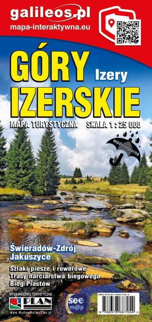
Góry Izerskie - mapa interaktywna
MAPA TURYSTYCZNA W APLIKACJI TRASEO
Góry Izerskie - mapa interaktywna

Jedna z najdokładniejszych na rynku map Gór Izerskich. Zawiera najważniejsze grzbiety zarówno po polskiej, jak i czeskiej stronie Gór Izerskich i Jizerskych hor. Mapa została zaktualizowana w terenie i zawiea najważniejsze atrakcje turystyczne i krajoznawcze. Oznaczono na niej szlaki turystyczen: piesze i rowerowe wraz z czasami przejść. Rok wydania 2022
Dolina Bobru
MAPA TURYSTYCZNA W APLIKACJI TRASEO
Dolina Bobru

Mapa Doliny Bobru zasięgiem obejmująca obszar od Jeleniej Góry do Bolesławca. Na mapie zaznaczono szlaki turystyczne piesze i rowerowe oraz ważniejsze atrakcje turystyczne. 

Wałbrzyskie Mountains and Stone Mountains
MAPA TURYSTYCZNA W APLIKACJI TRASEO
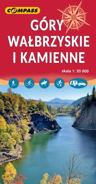
Wałbrzyskie Mountains and Stone Mountains

The Wałbrzyskie Mountains and The Stone Mountains are mountain ranges in the Central Sudetes on the border of the Czech Republic and Poland. The map also presents Adršpašskoteplické skály in Czech Republic, which is famous tourist destination.
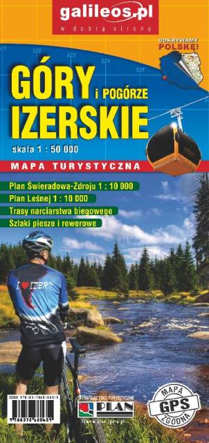
Jizera Mountains
MAPA TURYSTYCZNA W APLIKACJI TRASEO
Jizera Mountains

Jizera Mountains are part of the Western Sudetes on the border between the Czech Republic and Poland. The map range: Liberec to the west (Czech Republic), Gryfów Śląski to the north, Dolina Bobru Landscape Park to the east. Szklarska Poręba, Jakuszyce and Harrachov resorts are also on the map.
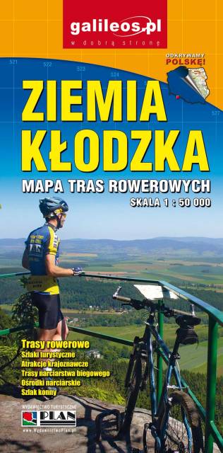
Ziemia Kłodzka - by bike
MAPA TURYSTYCZNA W APLIKACJI TRASEO
Ziemia Kłodzka - by bike

Map of bicycle routes in Ziemia Kłodzka. The most important natural and tourist attractions as well as practical information are marked here. Year of publication 2020

Miejscowości na trasie