


Charakterystyka trasy

Komentarze
NA TYCH TRASACH PRZYDA CI SIĘ MAPOPRZEWODNIK LUB MAPA Z NASZEJ APLIKACJI
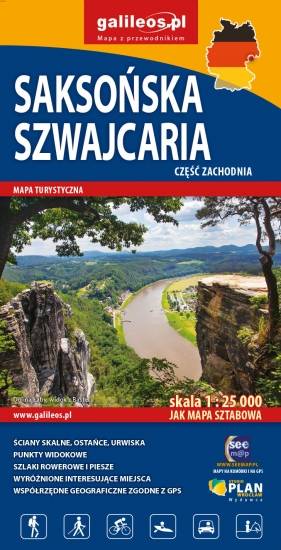
Mapa obejmuje zachodnią część Saksońskiej Szwajcarii w Niemczech. Na mapie zaznaczono kurorty i miasteczka oraz atrakcje turystyczne regionu niemieckich Gór Połabskich, ponadto jest tu: Bastei, Twierdza Königstein, Hohnstein z zamkiem, formy skalne Schrammsteine. Zawiera szlaki piesze i rowerowe oraz wszystkie informacje potrzebne turyście. Mapa opisana na siatce WGS 84, zgodna z polskimi systemami nawigacyjnymi.
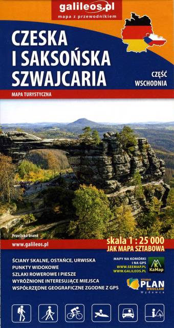
Mapa obejmuje pogranicze Czeskiej i Saksońskiej Szwajcarii. Zaznaczono na niej wszystkie formy skalne regionu, kurorty i miasteczka oraz atrakcje przy nich, czyli: Sebnitz, Mikulášovice, Hinterhermsdorf, Jetřichovice, Růžová oraz Kuhnstal, Pravčicka brana, Idaggrottę, Affelsteione, spływy łodziami i inne. Na mapie oznaczono szlaki piesze i rowerowe oraz wszystkie informacje potrzebne turyście. Mapa opisana na siatce WGS 84, zgodna z polskimi systemami nawigacyjnymi. Rok wydania 2023
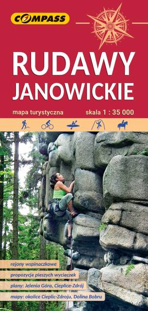
Bardzo dokładna, aktualizowana w terenie mapa turystyczna Rudaw Janowickich z zaznaczonymi szlakami pieszymi i rowerowymi z czasami przejść poszczególnych odcinków. Na mapie zaznaczono skały wspinaczkowe, z których słynie region i najważniejsze atrakcje turystyczne. Rok wydania: 2022
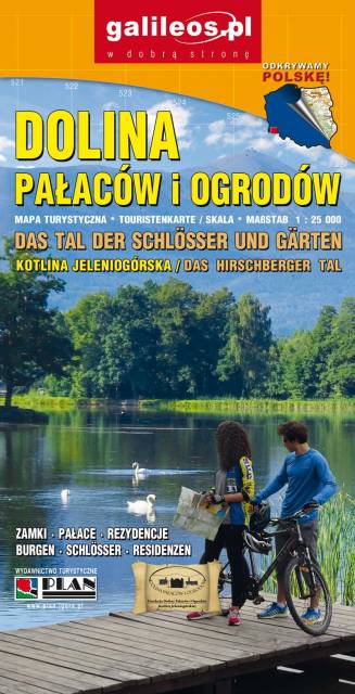
Dolina Pałaców i Ogrodów to bardzo dokładna mapa turystyczna obejmująca swym zasięgiem obszar Kotliny Jeleniogórskiej oraz część Rudaw Janowickich i Gór Kaczawskich. Na mapie oznaczono czasy przejścia na poszczególnych szlakach turystycznych. Rok wydania 2019