


Charakterystyka trasy

Komentarze
NA TYCH TRASACH PRZYDA CI SIĘ MAPOPRZEWODNIK LUB MAPA Z NASZEJ APLIKACJI
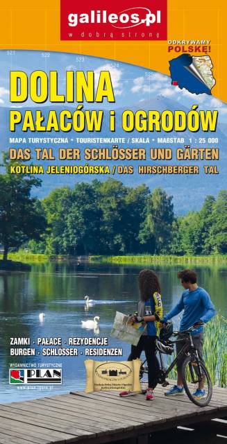
Dolina Pałaców i Ogrodów to bardzo dokładna mapa turystyczna obejmująca swym zasięgiem obszar Kotliny Jeleniogórskiej oraz część Rudaw Janowickich i Gór Kaczawskich. Na mapie oznaczono czasy przejścia na poszczególnych szlakach turystycznych. Rok wydania 2019
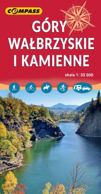
Mapa obejmuje Góry Wałbrzyskie, Góry Kamienne i Adszprasko-Teplickie Skały po czeskiej stronie. Na mapie są wszystkie elementy potrzebne turyście do poruszania się w tym ciekawym terenie. Podane odległości i czasy przejść pomogą zaplanować wycieczkę. Rok wydania 2023

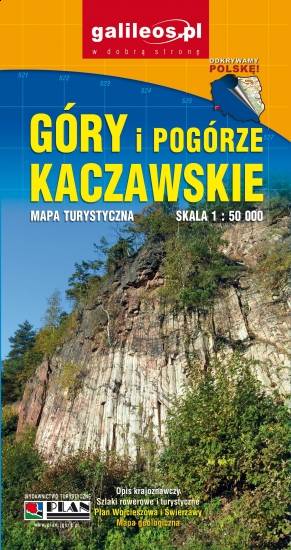
Mapa Gór i Pogórza Kaczawskiego zawiera aktualny przebieg szlaków rowerowych i pieszych z zaznaczonymi najważniejszymi atrakcjami turystycznymi. Swoim zasięgiem obejmuje obszar zamknięty przez Legnicę na północy i Jelenią Górę na południu. Przedstawia także teren Parku Krajobrazowego Doliny Boru oraz Parku Krajobrazowego Chełmy.