Nidzica (0.0 km) • Łyna (10.5 km) • Łyna River Springs Nature Reserve (11.0 km) • Łyński Młyn (12.4 km) • Orłowo (14.6 km) • Likusy (19.5 km) • Brzeźno Łyńskie (23.2 km) • Kurki (26.5 km) • Lake Łańskie (eastern shore) (36.6 km near the Cyranka resort) • Ruś (46.9 km) • Bartążek (49.6 km) • Olsztyn (56.0 km) • Redykajny (71.2 km) • Brąswałd (73.8 km) • Barkweda (77.7 km) • Cerkiewnik (84.8 km) • Swobodna (88.2 km) • Dobre Miasto (94.5 km) • Kunik (97.0 km) • Smolajny (99.9 km) • Łaniewo (112.2 km) • Lidzbark Warmiński (122.6 km) • Wielochowo (127.1 km) • Samolubie (139.7 km) • Perkujki (145.5 km) • Bartoszyce (150.5 km) • Wirwilty (155.5 km) • Rusajny (161.2 km) • Sępopol (165.9 km) • Stopki (172.4 km)
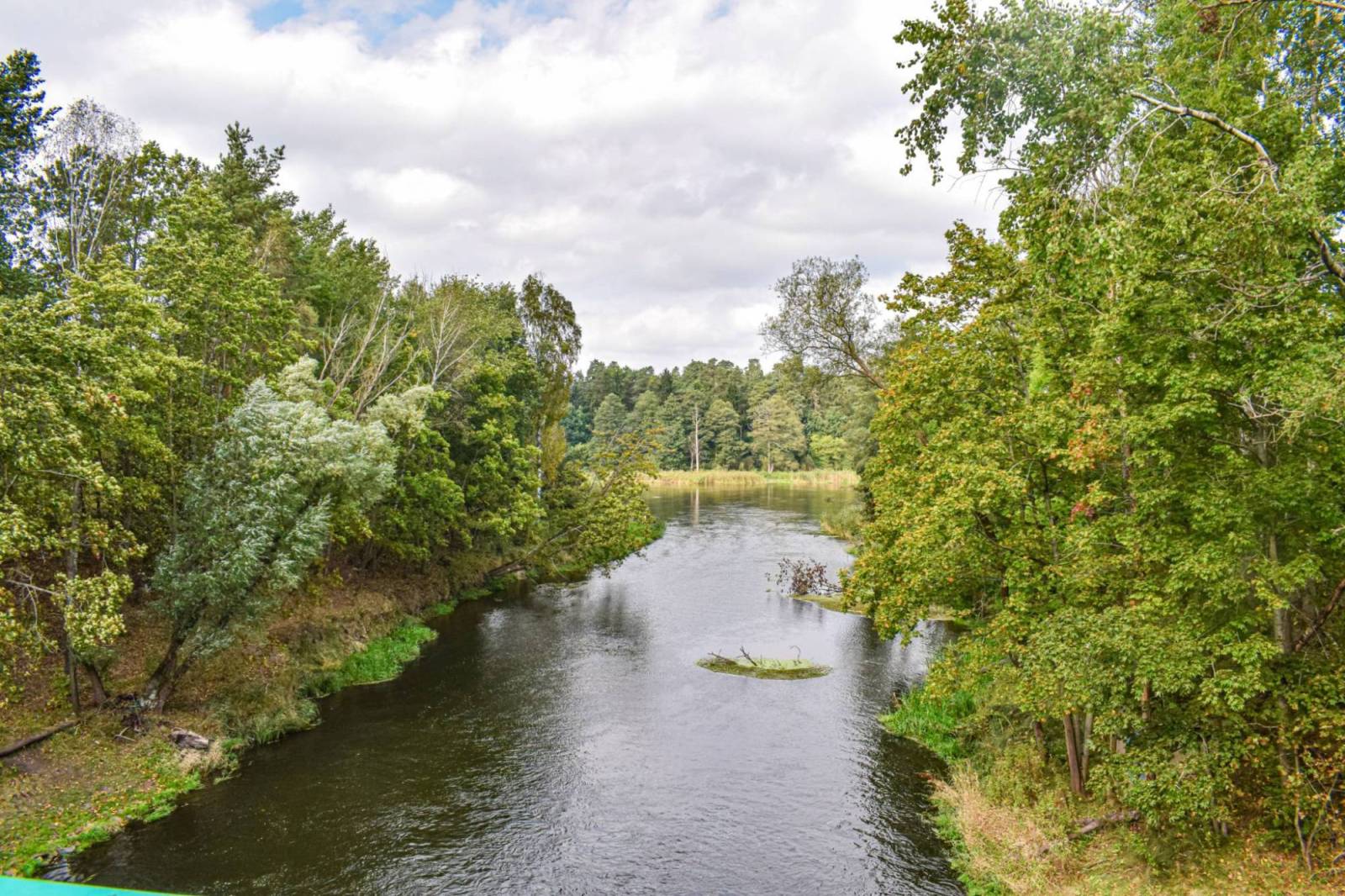
This long route, stretching over 170 km, begins in Masuria in Nidzica; near Kurek, it crosses the border into Warmia, which it leaves near Samolubie, past Lidzbark Warmiński, continuing through the lands of historic Barcja all the way to Stopki on the border with the Kaliningrad Oblast of Russia. The trail runs along the Łyna—the province’s longest river—from which it also takes its name. The Łyna is an attractive kayaking route, and traveling along the Łynostrada allows you to reach several kayaking marinas along the river.
The Łynostrada runs through the ecologically valuable areas of the Napiwodzko-Ramucka Primeval Forest, one of the largest forest complexes in Poland, which is entirely protected as a Natura 2000 Special Area of Conservation for birds, as well as through the picturesque Wichrowskie Forests. The route passes through two regional capitals—the current one (Olsztyn) and the historical one (Lidzbark Warmiński, which served as the seat of the Warmian bishops for over 600 years). Due to its length and numerous sections passing through uninhabited areas, the route is recommended for people in good physical condition.
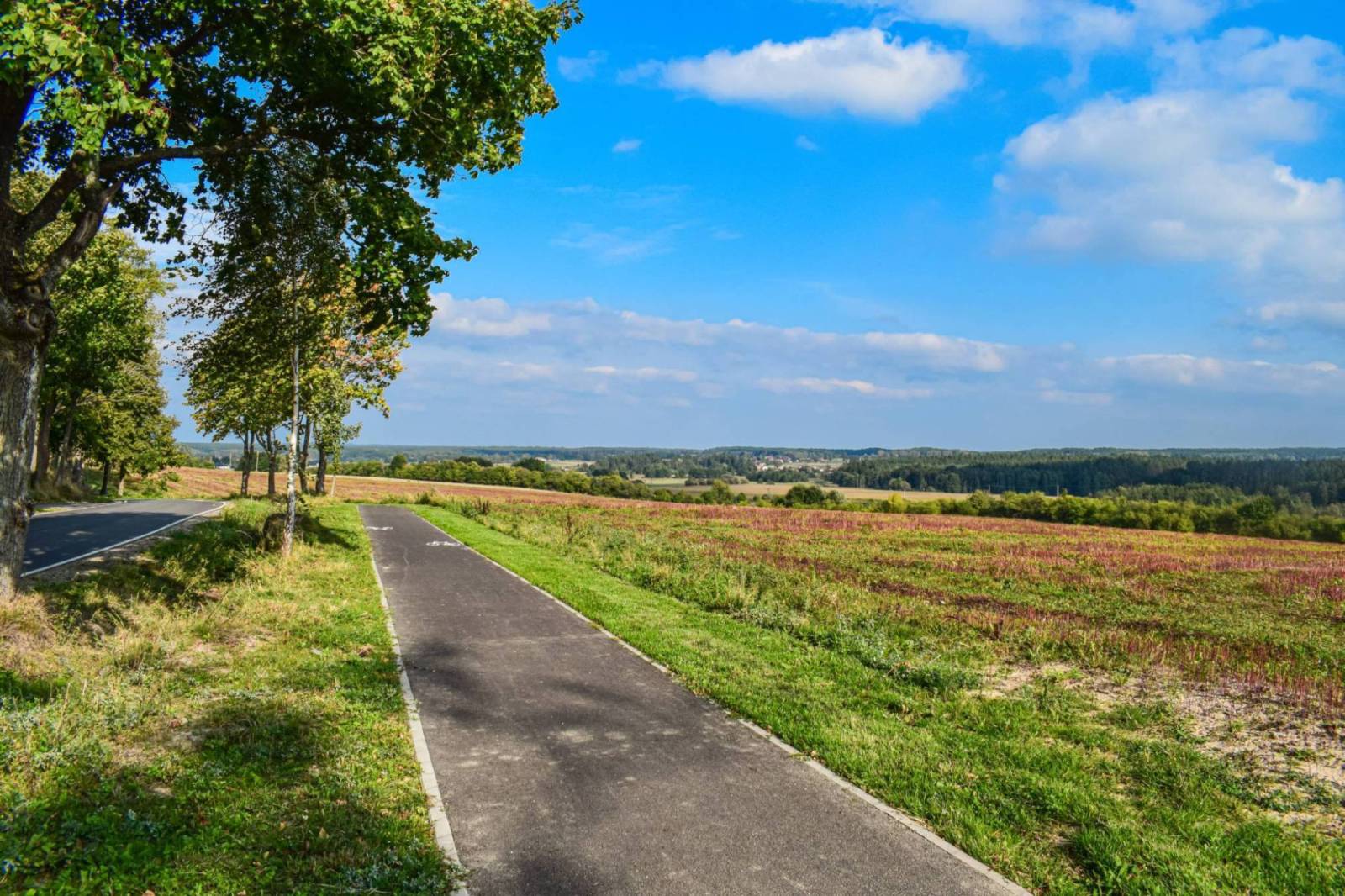
The Łynostrada begins at the train station in Nidzica and leads to the city center via Kościuszki Street, halfway along which there is a bridge over the Nida River. At the end of Kościuszki Street, turn left and pass the city hall located on the left side of Wolności Square. We then continue straight along a section of 1 Maja Street through the roundabout where Traugutta and Słowackiego Streets converge, and then leave the city via Sprzymierzonych Avenue. Riding along provincial road DW545, we reach the border of Nidzica. We continue north on the bike path alongside the road, which then turns left toward the village of Łyny. We then continue on the bike path running alongside the county road through Nibork Drugi to Łyny and the Łyna River Springs Nature Reserve, located near the village. On the initial section, the route runs between fields, along the edge of a forest stretching to the left. Between the villages of Nibork Drugi and Wietrzychowo, a solar farm stretches along both sides of the road for nearly 1.5 km.
You can explore the Łyna River Source Nature Reserve on foot, leaving your bike at Łyński Młyn. From Łyna, you can reach it by turning left at the fork toward the parking lot, and from there, taking the cobblestone road to the right toward Łyński Młyn. You can also ride along a narrow path leading through the reserve to the old mill, but this is quite difficult due to fallen tree trunks that block the path in places. The path begins at the fork in the roads in Łyna and is marked with signs for the green hiking trail, which will accompany us almost all the way to Olsztyn. Its signs appear much more frequently than those for the bike trail. From Łyński Młyn, we head east toward Orłowo. The cobblestone road gives way to a gravel road. To the left below, we pass a marshy river valley; to the right, a wooded hill. We enter the forest and follow it to an asphalt road, where we turn left toward Orłowo. After the cemetery, we turn left; the signposts point toward Likusy, Brzeźno Łyńskie, and Lipowo Kurkowskie. Beyond the village, we ride on a gravel road; past the last building at the fork, we take the right, wider road; a little further on there is another fork, but both branches of the road converge after a few hundred meters. On the right side of the road, in the forest, lie two lakes: Orłowo Wielkie and Orłowo Małe; the latter is a wildlife nature reserve.
After traveling a few kilometers along a well-marked but occasionally sandy gravel road, we enter Likus, where old cobblestones peek out from beneath the gravel. At the sign marking the end of the village, at the fork, we turn onto the right-hand branch. Shortly thereafter, the road splits into two parallel paths and rejoins after about 300 m. At the signpost for Brzeźno Łyńskie, we turn left toward that village. About 3.5 km past Likus, a road joins from the right, along which the red bicycle trail runs. At the next intersection, we turn left, following the signpost for Brzeźno Łyńskie. At the first buildings of the village, we turn right. First, we ride along the edge of the forest, then we enter it. The road is narrower, sandy in places, with a bump in the middle. This brings us to a vacation resort between Lakes Kiernoz Mały and Kiernoz Wielki. The road’s condition improves slightly, and it dives back into the forest, reaching the lake’s shore on the left after about 1 km. We cover a short stretch through the forest and reach a wider gravel road, where we turn left and enter Kurek. After a few hundred meters, we reach the paved road leading from Olsztynek to Szczytno. We can do some shopping at the store in Kurek.
The route leads from Kurek to the right toward Szczytno. After riding about 1 km, at the edge of the forest, turn left onto a gravel road and take the left of the two branches. On our left is the open valley of the Łyna River. After about 1 km, the river flows into Lake Łańskie. The route runs through the forest near its shores. The surface turns to cobblestone; at the fork in the road, we take the left fork. We can sometimes catch glimpses of the wild and secluded lake through the trees. After 1 km, the road becomes gravel again. At the next fork, we turn onto the left path. We follow the green hiking trail, proceeding straight through several intersections of forest roads. We arrive at the Las Warmiński Nature Reserve. The road becomes paved. We enter the so-called “Łańskie Imperium”—the grounds of a legendary government retreat from the communist era, where prominent figures of the time would relax and hunt in complete isolation from the outside world. We pass a left turn leading to the Lalka Peninsula.
After 1.5 km, the hiking trail turns right onto a forest road, but we continue straight ahead. At the fork, we turn left (the right turn is prohibited). A little further on, the green trail rejoins our route on the right, only to turn left again after 1 km. We continue straight ahead and, at the intersection with a wider paved road, turn left. The green trail joins us from the left. The old, mixed-species forest on both sides of the road and the lake visible on the left create a truly fairy-tale-like setting here. At the intersection, we turn left onto the paved road, following the trail signs. After a fairly long descent, we cross a small bridge over the Łyna River at the point where it flows out of Lake Ustrych and is dammed by a small hydroelectric power plant. We pass information signs about the nature reserve and the Ostoja Napiwodzko-Ramucka Natura 2000 site.
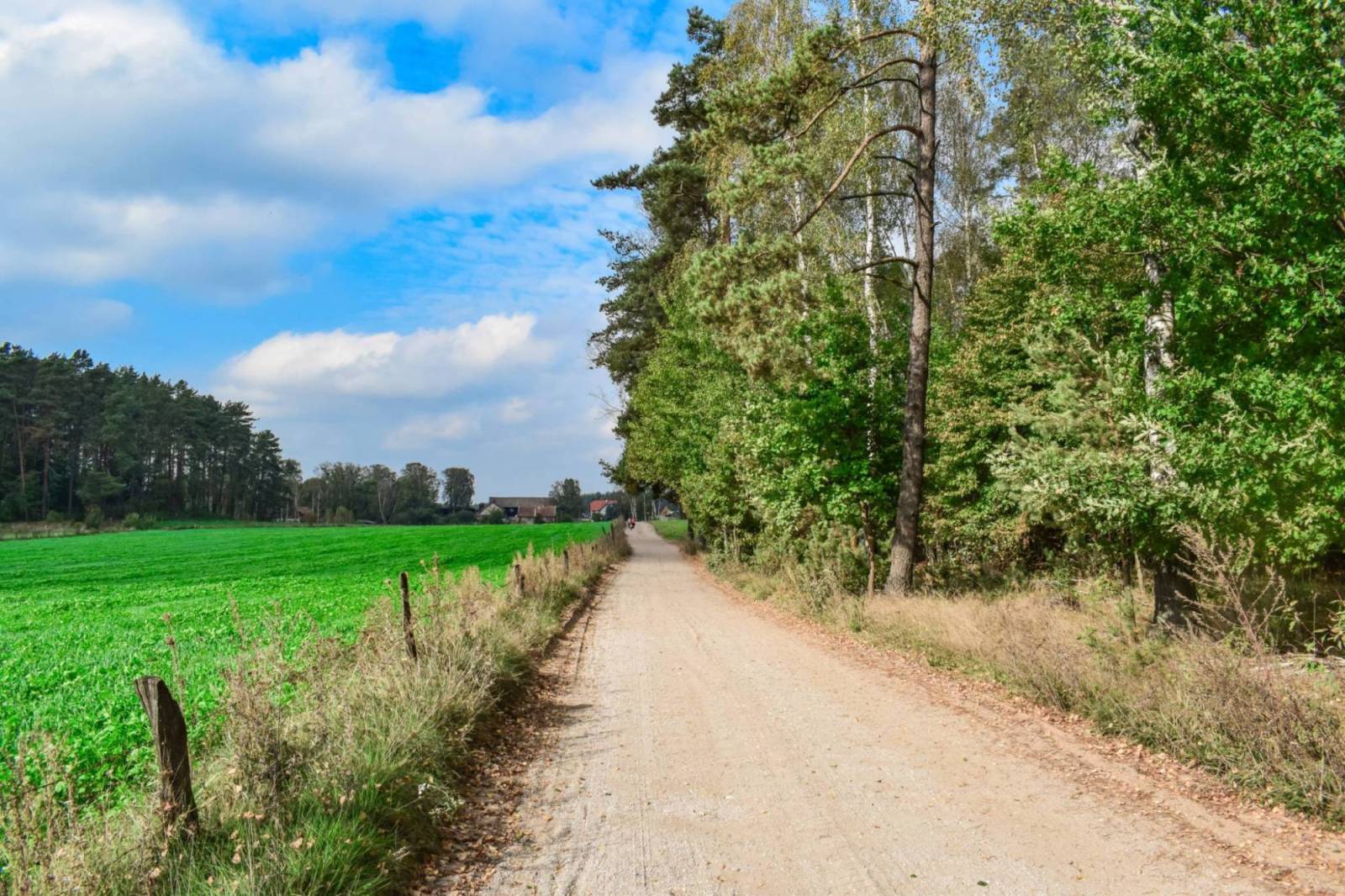
A few hundred meters further on, at a fork in the road, we turn right onto a gravel road, which is covered with sand in places. After about 2.5 km, we turn right, following the signs for the Łynostrada and the green hiking trail, which accompanies us for long stretches. After a few hundred meters, we come to a cobblestone section, followed by an unpaved dirt road. We pass a barrier, beyond which we continue straight ahead and, near a forest parking lot, exit the forest in the village of Ruś. We ride downhill along a road with a varied, mostly cobblestone surface, until we reach an asphalt road, where we turn left. After a few hundred meters, we turn right onto a gravel road leading to Bartążek. We first ride between buildings, across the bridge over the Łyna River, and then through fields and meadows, following the green hiking trail. The next section is beautifully lined with old trees. At the fork, we turn left onto a dirt road. Vast fields stretch out on both sides. We reach the bypass and cross over it via an overpass. After the overpass, we turn right, and after descending the embankment, we turn left onto a gravel road. We ride along it between buildings, taking the left fork, and reach the paved road in Bartążek. We turn right onto Warmiński Las Street, pass Aromapark on the left, and just past the village, where the street turns right, we veer left onto a pedestrian and bike path running along the lake.
After passing the lake, we turn right onto Przyrodnicza Street, a residential street, and ride uphill along it until it intersects with the two-lane exit road from Olsztyn. We turn right onto the bike path, cross the exit road at the bike crossing, and head left toward the city. After passing the city limits, continue along the path parallel to the two-lane road, which is now called Płoskiego Street. Cross Witosa Street, then Wilczyńskiego Street; turn left, cross Sikorskiego Avenue, and ride uphill. After the second roundabout, continue straight ahead, then turn right onto Maczka Street, which is initially paved with concrete slabs and later with asphalt. After passing the preschool visible on the left, turn left, and after going downhill, turn right. We ride along Szostkiewicza Street, which runs alongside the Łyna River, through the Brzeziny neighborhood to Kalinowskiego Street. We turn left onto Kalinowskiego Street, cross the bridge over the Łyna River, and after riding a few hundred meters, turn right onto a gravel bike path.
At first, we ride across the site of Lake Płociduga Duża, which was drained in the 18th century and is periodically flooded; then we ride along the river, and further on, we cross Central Park, designed in the English style. There are as many as four bridges here connecting the banks of the Łyna River, as well as a canoe dock, numerous paths for pedestrians and cyclists, and a fountain with special nighttime lighting. The fountain’s basin features an installation referencing Nicolaus Copernicus’s achievements in Olsztyn: hemispheres submerged in the water that symbolize the planets of the Solar System. For those who enjoy active outdoor recreation, there is a playground with recreational structures and an outdoor gym. We continue right past the Warmian Chapter Castle and through Podzamcze Park, following a road that passes under historic railway viaducts, until we reach the vast Municipal Forest with its extensive network of walking and biking trails. A hydroelectric power plant is also located within the forest.
In the northern part of the city, we enter the forest via a paved, gravel road. Crossing the Smętka Bridge, past the Wąwóz Bike Park, we reach the hydroelectric power plant on the Łyna River. This is where the Wadąg River flows into the Łyna. Following the trail markers, we turn right before reaching the buildings and ride along a forest road by the river. After riding about 1 km, we pass recreational plots on the right. Beyond them, we turn right (Polna Street in the village of Dywity), and then left again to enter the forest. When we pass the bridge over the Łyna River on the left, we turn right and, after riding one kilometer on the paved road, we reach the road leading from Dywity to Brąswałd. We turn left onto it and continue on the paved road through Brąswałd to Barkweda. In Brąswałd, you can take a break at the canoe dock, which has a shelter and a campfire site. We pass Lake Mosąg and arrive in Barkweda. The former bed of the Łyna River that cuts through the village is called Stara Łyna.
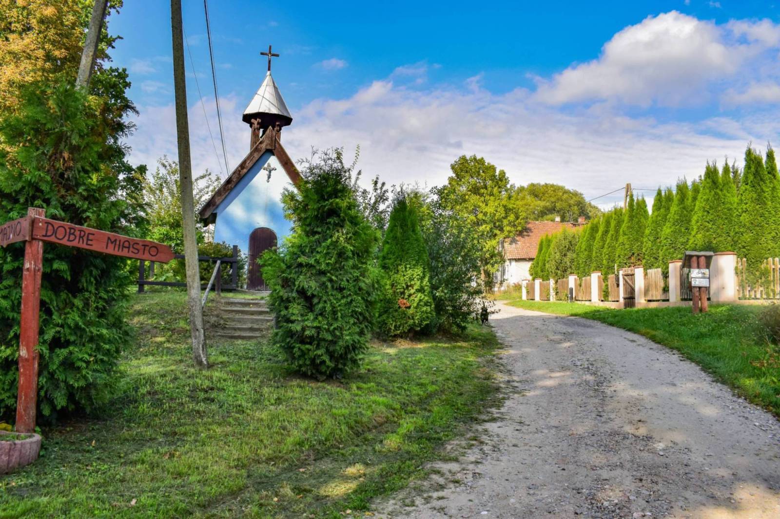
In the village, head toward Cerkiewnik, then continue along a beautiful tree-lined avenue into the forest, following the “Łynostrada” signs. As you exit the forest before Cerkiewnik, you’ll reach a hilltop offering a magnificent panoramic view of the surrounding area, including St. Catherine’s Church. We take a gravel descent toward the village, from where we continue on an asphalt road. Before reaching the Łyna River, we turn left onto a gravel road marked with a sign reading “Swobodna 2.” Above the Łyna River, there is an excellent resting spot with shelters—another canoe landing. In Swobodna, there is an interesting wayside shrine, next to which stands a signpost pointing toward Dobre Miasto. At the end of the village, an asphalt road begins (a bike path runs alongside it for several kilometers), which we follow through Knopin—here, it’s worth noting the shrine from 1792 on the left—to Dobre Miasto.
In Dobre Miasto, we pass a park by the Mała Łyna River, where we can stop to rest. It’s a wonderful place for children to play. If we cross the bridge over the Mała Łyna and then the bridge over the Łyna River, we’ll reach the kayaking marina, where we can also relax comfortably. We leave the town via Wojska Polskiego Street, which merges into National Road DK51, heading toward Lidzbark Warmiński. On this stretch, we can use the pedestrian and bike path. In Kosyń, we cross the footbridge over the Łyna River and continue along the path parallel to DK51 to the roundabout before Smolajny. After the roundabout, we use the crosswalk to get to the other side of DK51, and we take the path down to Smolajny, where we can rest at the canoe dock with shelters. The former palace of the bishops of Warmia has been preserved in the village.
We reach the forest and turn onto the road leading to the right. On this section, you may encounter loose gravel. In Urbanowo, we head toward Łaniewo (the canoe dock with shelters near this village will give us a chance to rest). From Łaniewo to Lidzbark Warmiński, the route follows the Railway Bike Trail, which starts in Orneta. In Lidzbark Warmiński, we pass through Irena Kwinto Park to reach the Łyna River Boulevard. From the boulevard, we return to Olsztyńska Street and head north along it toward the village of Wielochowo. On this section (approx. 5 km), the trail follows a dedicated bike path and coincides with the Green Velo route. A point of interest in Wielochowo is the “glowing” section of the path (about 100 m), which emits blue light at night. At the entrance to the village, on the southern end of Lake Wielochowskie, there is also a beach with a swimming area where you can rest under a shelter. Before reaching the northern end of the lake, turn right toward the village of Koniewo.
We ride along a gravel road through the fields, and once in the village, we continue eastward, turning onto an asphalt road. We cross a small bridge over the Elma River—a tributary of the Łyna—and continue through Budniki to Kotowo. In this village, near the hydroelectric power plant, while staying on the same road, we turn right and cross the bridge over the Łyna. After the bridge, we turn left onto a gravel road, which we follow northeast until we reach Samolubie. In the village, we navigate three turns on short paved sections, then turn right onto another gravel road heading northeast. After riding a little over 2 km, turn left onto a field path and enter the forest. Follow this path along the Łyna River for another 2 km until you reach the canoe launch in Perkujki, where you can take a break. From the launch site, we take a dirt road toward the village of Perkujki; from there, we continue on a gravel road through forests and fields until we reach the border of Bartoszyce. Here, the road surface turns to asphalt, and the road itself becomes Wojska Polskiego Street. In town, on Bohaterów Warszawy Street, the Łynostrada meets the Green Velo trail. Near the route, on the right, there is a MOR facility that you can use. After crossing the bridge over the Łyna River, we cross the street and enter Elżbieta Park, located along the river. Upon leaving the park, we turn right onto Żeromskiego Street (parting ways with the Green Velo trail). We leave the town and, passing through Wiatrak, reach the village of Wirwilty.
The route then takes us back near the river—past Szylina Mała, through Szylina Wielka, and Rusajny. If you leave the trail in Szylina Wielka and head down to the Łyna River, you can take a break at a well-maintained private canoe dock with a shelter. The next town on the route is Smolanka, where you’ll rejoin the Green Velo trail. The Łynostrada overlaps with it on the section leading to Sępopol. Continuing on, we bypass the historic center of this town, riding along a section of Długa Street and turning north—toward the village of Długa. From here, only 5 km separate us from the Łynostrada’s endpoint: the canoe dock in Stopki (less than 3 km in a straight line to the national border).
The route was mapped out based on existing roads and bike paths and also follows roads with light traffic. Due to the gravel, unpaved surfaces in the forests, off-road bikes are recommended. History buffs should set aside plenty of time for sightseeing.
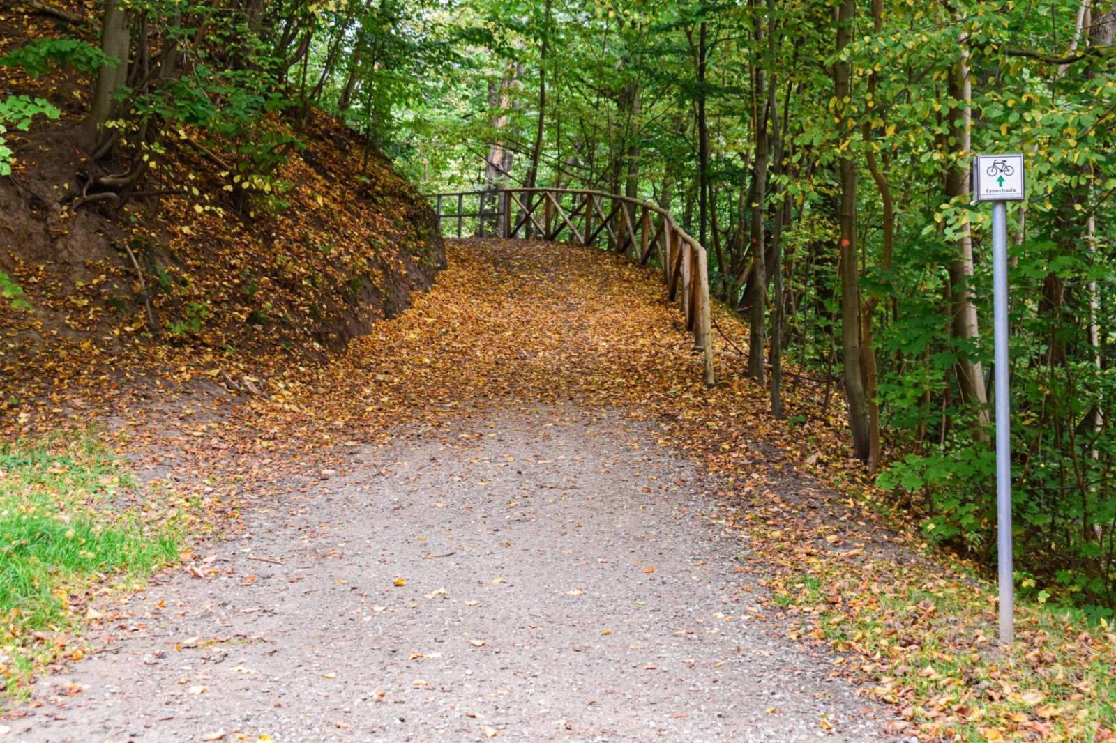
It’s a good idea to bring a map along on the trip, especially if you plan to modify or shorten the route. The trail is marked in green. Olsztyn and Nidzica have convenient rail connections to many cities in Poland. All long-distance and regional trains stop in Nidzica. There are two train stations in Olsztyn. There are also train stations in towns located on or near the route: in Dobrzyń, Cerkiewnik, Swobodna, and Dobre Miasto.