category-icon

Lot Egipt-Polska

3253 km
4 h 45 min
142533 m
142421 m
Egipt
no photo

Route characteristics

2011-07-12
Egipt
category-icon
3253 km
142533 m
142421 m
4 h 45 min
1.0/6

Comments

NA TYCH TRASACH PRZYDA CI SIĘ MAPOPRZEWODNIK LUB MAPA Z NASZEJ APLIKACJI

Zakopane and Surroundings
Trips in the Tatra Mountains and Podhale
The offline map “Zakopane and Surroundings” is a practical guide for tourists and active travelers who want to explore the most beautiful parts of Podhale and the Tatra Mountains. It covers diverse areas around Zakopane – from Tatra valleys and foothill trails, through scenic ridges, to charming Podhale villages – offering a rich network of cycling routes (including numerous loop trails) as well as hiking paths. The map also highlights the most interesting places in the region – from popular valleys and viewpoints to natural and tourist attractions – making it easy to plan trips and discover the charm of Podhale without the need for internet access.
HikingBike trails

50
243
Mapoprzewodnik
Near Krakow
Near Krakow
Local Tourism Organization of the Kraków County “Near Krakow”
The offline map “Pod Krakowem” (“Near Krakow”) is a practical guide for tourists and active travelers who want to explore the most interesting corners around Krakow. It covers diverse regions, such as the Prądnik Valley, the surroundings of Ojcowski National Park, Podgórze Wielickie, areas along the Vistula River, and the Krzeszowice region, offering a rich network of hiking and cycling routes. The map also highlights numerous recommended places – from tourist attractions and historical sites to wine tourism spots and family-friendly destinations. It is a convenient tool for planning trips and discovering the charms of the region without the need for internet access.
RowerowePiesze

35
142
Mapoprzewodnik
Dynów Foothills
Dynów Foothills
Association of Tourist Municipalities of the Dynów Foothills
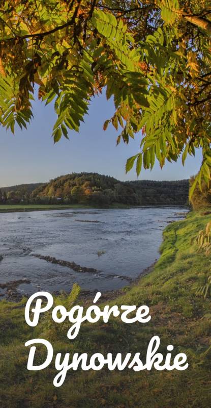
The offline map of the Dynów Foothills Tourist Municipalities Association is a practical tool for tourists and active travelers. It covers the picturesque San River Valley and the surrounding areas, offering an extensive network of cycling and hiking trails. The map highlights the most interesting tourist attractions, natural sites, accommodation options, and other places worth visiting, making it easier to plan trips and discover the charms of the Dynów Foothills without the need for internet access.
RowerowePiesze

16
257
Mapoprzewodnik
Sandomierz
Sandomierz
Szlakiem kameralnych przyjemności
Na mapie Polski niewiele jest miejsc z duszą, w których ludzie z pasją odnajdują inspirującą moc tworzenia i życia. W Sandomierzu realizują się plany i spełniają marzenia, a czas staje się wartością względną. Podczas wizyty można zakosztować wielu „kameralnych przyjemności”, spośród których najbardziej popularnymi są tematyczne spacery po mieście. Dostępne trasy zwiedzania Królewskiego Miasta to propozycja, z której może skorzystać każdy. Zaplanowane wspólne wycieczki pozwolą odkryć to, co najciekawsze, ukryte i nieoczywiste. Dlatego właśnie Sandomierz, dzięki swojej niepowtarzalnej energii jest idealną propozycją na wycieczkę każdą porą roku. Zapraszamy do odkrywania Sandomierza Szlakiem Kameralnych Przyjemności.
HikingTrasy piesze z zagadkamiBike trails

11
111
Mapoprzewodnik
Rowerem po Roztoczu
Rowerem po Roztoczu
Mapa tras rowerowych i atrakcji turystycznych na Roztoczu
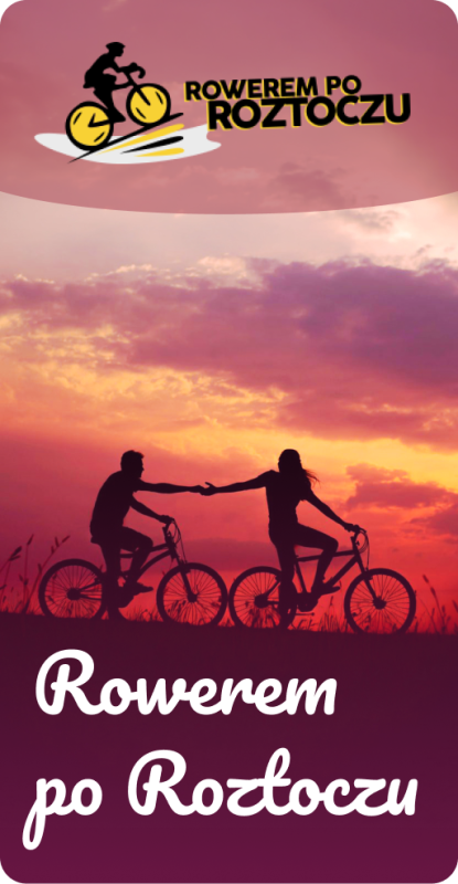
"Rowerem po Roztoczu" to mapa jednego z najbardziej zielonych obszarów Polski - Roztocze, bo o nim mowa, to kraina geograficzna łącząca Wyżynę Lubelską z Podolem. To właśnie tutaj utworzono Roztoczański Park Narodowy, aby chronić cenne dziedzictwo przyrodnicze. Mapoprzewodnik "Rowerem po Roztoczu" powstał przy współpracy gmin z tego obszaru: Zwierzyniec, Krasnobród, Józefów, Susiec, Tomaszów Lubelski, Narol, i Cieszanów. Zapraszamy na rowerową podróż przez ten niezwykły zakątek, do zwiedzania atrakcji i odkrywania tajemnic Roztocza!
Bike trails

52
122
Mapoprzewodnik
Wierzchlas Municipality
Trasy rowerowe gminy Wierzchlas
The offline map of the Wierzchlas municipality is a convenient tool for enthusiasts of active recreation and local attractions. It presents a network of cycling routes running through the picturesque areas of the municipality, as well as the most interesting places worth visiting. The map highlights tourist attractions, natural sites, and recreational points, making it easier to plan trips and move safely around the area without the need for internet access.
Rowerowe

5
23
Mapoprzewodnik

Towns on the route