


Charakterystyka trasy

Komentarze
NA TYCH TRASACH PRZYDA CI SIĘ MAPOPRZEWODNIK LUB MAPA Z NASZEJ APLIKACJI
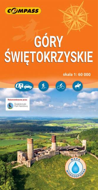
Mapa turystyczna "Góry Świętokrzyskie" przedstawia całość masywu, położonego w centralnej części Wyżyny Kieleckiej. Niezbyt wymagający teren sprawia, że jego ścieżki przemierzać mogą także mniej doświadczeni turyści. Obszar przedstawiony na mapie zamyka się w granicach: Końskie na północy, Raków na południu, Ostrowiec Świętokrzyski na wschodzie, Dobrzeszów na zachodzie. Rok wydania 2023
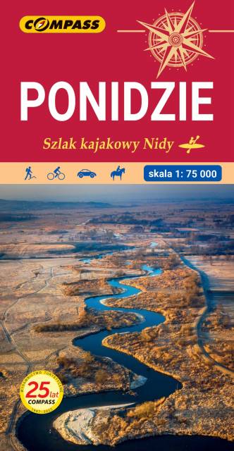
Mapa Ponidzia przedstawia region położony w województwie świętokrzyskim nad dolną i środkową Nidą. Zasięg mapy wyznaczają: od północy - Chęciny; od południa - Proszowice; od zachodu - Jędrzejów i od wschodu - Staszów. Wzdłuż Nidy leżą najstarsze miasta regionu: Chęciny, Pińczów, Wiślica i Nowy Korczyn. Doskonałe warunki do wypoczynku oraz uprawiania sportów wodnych daje utworzony na rzece Czarnej Staszowskiej zbiornik Chańcza. Rok wydania: 2024
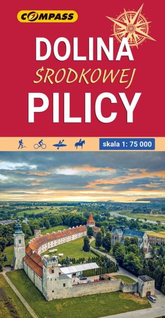
Mapa obejmuje środkowy odcinek rzeki od Szczekocin do Nowego-Miasta nad Pilicą. Pilica to lewy dopływ Wisły o dł. 325 km, płynący z Wyżyny Krakowsko-Częstochowskiej i wpadający do Wisły koło Góry Kalwarii pod Warszawą. Zasięg mapy wyznaczają: Rokiciny-Kolonia na północy, Piotrków-Trybunalski na zachodzie, Szczekociny na południu i Nowe-Miasto, Drzewica, Małogoszcz na wschodzie. Obszar mapy obejmuje Jezioro Sulejowskie, parki krajobrazowe: Sulejowski, Spalski i Przedborski oraz miasta: Piotrków Trybunalski, Tomaszów Mazowiecki, Opoczno, Sulejów, Przedbórz, Włoszczowa, Koniecpol. Pilica idealnie nadaje się do uprawiania turystyki kajakowej. Rzeka na tym odcinku jest płaska, w znacznym stopniu pokryta lasami, malowniczo meandruje tworząc liczne wysepki, łachy i ławice piasku. Koryto Pilicy ma tu szerokość 100-150 m i łączy się z licznymi starorzeczami. W rejonie Przedborza rzeka opływa zachodnie krańce Pasma Przedborsko-Małogoskiego, a głębokość doliny sięga nawet do 50 m. Pod Smardzewicami wody środkowej Pilicy spiętrza zapora ziemna, tworząc Zalew Sulejowski. Dolinie Pilicy towarzyszą lasy, których największe kompleksy występują w okolicach Przedborza (Przedborski Park Krajobrazowy), w widłach Pilicy i Luciąży oraz w okolicach Tomaszowa Mazowieckiego (dawna Puszcza Pilicka). Na mapie zaznaczony został szlak kajakowy Pilicy oraz jej dopływów wraz z punktami odległościowymi. Mapa polecana jest także do uprawiania turystyki pieszej, rowerowej i konnej oraz osobom zmotoryzowanym. Rok wydania: 2022
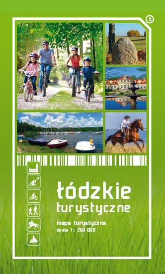
Mapa województwa łódzkiego, na której zaznaczono miejscowości, drogi, tereny leśne, parki krajobrazowe, zabytki, kościoły, zabytki, ośrodki aktywności konnej i wodnej oraz główne szlaki rowerowe. Kolorem żółtym wyróżniono miejsca i miejscowości warte odwiedzenia.