category-icon

Kolorowe jeziorka

464 km
10 h 5 min
1188 m
1174 m
Polska, wielkopolskie, Głuchowo
Zdjęcie 1
Zdjęcie 2
Zdjęcie 3
Zdjęcie 4
Zdjęcie 5
Zdjęcie 6

Charakterystyka trasy

2014-02-23
Polska, wielkopolskie, Głuchowo
category-icon
Długość trasy:
464 km
Suma przewyższeń:
1188 m
Suma spadków:
1174 m
Średni czas potrzebny na pokonanie trasy:
10 h 5 min
Ocena trasy:
3.0/6

Komentarze

NA TYCH TRASACH PRZYDA CI SIĘ MAPOPRZEWODNIK LUB MAPA Z NASZEJ APLIKACJI
Gmina Iłowa - mapa historyczna
MAPA TURYSTYCZNA W APLIKACJI TRASEO
Gmina Iłowa - mapa historyczna

Mapa historyczna Gminy Iłowa.

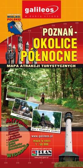
Poznań Region. Northern Part
MAPA TURYSTYCZNA W APLIKACJI TRASEO
Poznań Region. Northern Part

The map presents part of the Greater Poland Voivodeship in west-central Poland, south from Poznań. It covers such areas as the Puszcza Zielonka Landscape Park and the Promno Landscape Park. Tourist attractions, cycling and walking trails are marked on the map, as well as other information useful for tourists.

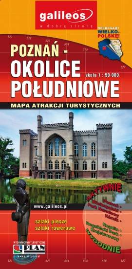
Poznań Region. Southern Part
MAPA TURYSTYCZNA W APLIKACJI TRASEO
Poznań Region. Southern Part

The map presents part of the Greater Poland Voivodeship in west-central Poland, south from Poznań. It covers such towns as Stęszew, Środa Wielkopolska, Kostrzyn. Tourist attractions, cycling and walking trails are marked on the map, as well as other information useful for tourists.

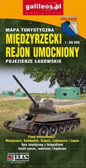
Międzyrzecz Fortification Region. Łagów Lakeland
MAPA TURYSTYCZNA W APLIKACJI TRASEO
Międzyrzecz Fortification Region. Łagów Lakeland

Międzyrzecz Fortification Region was a fortified military defence line of Nazi Germany between the Oder and Warta rivers. Built in 1934–44, it was the most technologically advanced fortification system of Nazi Germany, and remains one of the largest and the most interesting systems of this type in the world today. It consists of around 100 concrete defence structures partially interconnected by a network of underground tunnels. Some of the forts and tunnels are available for visiting. The map presents the central part of the defence line. Cycling and walking trails are also marked.

Barycz Valley. Western Part
MAPA TURYSTYCZNA W APLIKACJI TRASEO
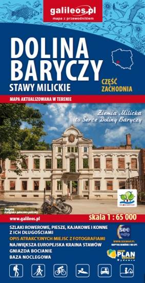
Barycz Valley. Western Part

The Barycz Valley is situated in south-western Poland, in two voivodeships: the Lower Silesian Voivodeship and the Greater Poland Voivodeship. The map covers the area from Ruda Sułowska to Barycz's mouth. A lot of information useful for tourists is marked on the map: monuments, accommodation facilities, protected areas, cycling, walking, canoeing and horse trails, as well as nature and educational routes. Stork nests are also depicted, as a peculiarity.

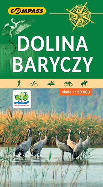
Dolina Baryczy
MAPA TURYSTYCZNA W APLIKACJI TRASEO
Dolina Baryczy

Mapa obejmuje cały obszar Parku Krajobrazowego Doliny Baryczy oraz tereny przyległe. Zasięg mapy wyznaczają: Ostrów Wielkopolski na północy, Twardogóra na południu, Rawicz na zachodzie i Mikstat na wschodzie. Jest to obszar wyjątkowo atrakcyjny przyrodniczo. Znajduje się tu największy w Europie kompleks sztucznych stawów rybnych. Stawy Milickie to również największy w Polsce rezerwat ornitologiczny. Ptasi raj przyciąga rzesze obserwatorów. Uprawianie birdwatchingu umożliwiają liczne wieże i czatownie. Bogate, a przy tym mało znane jest także dziedzictwo kulturowe tego obszaru. Osobliwością są szachulcowe kościoły, domy z rudy darniowej czy zabytkowe jazy. Skala mapy pozwoliła na dokładne naniesienie dróg, ścieżek, szlaków pieszych, rowerowych, kajakowych, dydaktycznych i spacerowych. Mapę offline można zakupić w aplikacji Traseo na urządzenia mobilne. Rok wydania 2022


Miejscowości na trasie