


Charakterystyka trasy

Komentarze
NA TYCH TRASACH PRZYDA CI SIĘ MAPOPRZEWODNIK LUB MAPA Z NASZEJ APLIKACJI
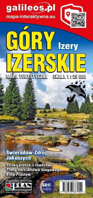
Jedna z najdokładniejszych na rynku map Gór Izerskich. Zawiera najważniejsze grzbiety zarówno po polskiej, jak i czeskiej stronie Gór Izerskich i Jizerskych hor. Mapa została zaktualizowana w terenie i zawiea najważniejsze atrakcje turystyczne i krajoznawcze. Oznaczono na niej szlaki turystyczen: piesze i rowerowe wraz z czasami przejść. Rok wydania 2022
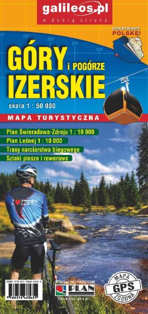
Mapa turystyczna "Góry Izerskie" przedstawia duży obszar polskiej i czeskiej części tych gór. Granicę mapy na zachodzie wyznacza czeski Liberec, na północy Gryfów Śląski, a na wschodzie fragment Parku Krajobrazowego Doliny Bobru. Na mapie znajdują się także Szklarska Poręba, Jakuszyce oraz Harrachov. Rok wydania 2020
Mapa Gór i Pogórza Kaczawskiego zawiera aktualny przebieg szlaków rowerowych i pieszych z zaznaczonymi najważniejszymi atrakcjami turystycznymi. Swoim zasięgiem obejmuje obszar zamknięty przez Legnicę na północy i Jelenią Górę na południu. Przedstawia także teren Parku Krajobrazowego Doliny Boru oraz Parku Krajobrazowego Chełmy.