
Charakterystyka trasy

Komentarze
NA TYCH TRASACH PRZYDA CI SIĘ MAPOPRZEWODNIK LUB MAPA Z NASZEJ APLIKACJI
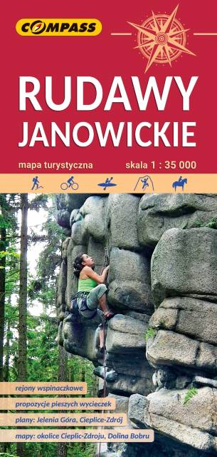
Bardzo dokładna, aktualizowana w terenie mapa turystyczna Rudaw Janowickich z zaznaczonymi szlakami pieszymi i rowerowymi z czasami przejść poszczególnych odcinków. Na mapie zaznaczono skały wspinaczkowe, z których słynie region i najważniejsze atrakcje turystyczne. Rok wydania: 2022
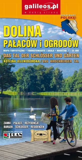
Dolina Pałaców i Ogrodów to bardzo dokładna mapa turystyczna obejmująca swym zasięgiem obszar Kotliny Jeleniogórskiej oraz część Rudaw Janowickich i Gór Kaczawskich. Na mapie oznaczono czasy przejścia na poszczególnych szlakach turystycznych. Rok wydania 2019
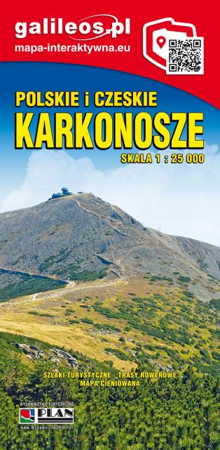
Mapa Karkonosze przedstawia najwyższe pasmo górskie Sudetów, znajdziemy na niej aktualny przebieg szlaków turystycznych wraz z orientaycjnym czasem przejścia, szczyty i atrakcje turystyczne. Mapę Karkonoszy zamykają czeskie Rokytnice nad Jizerou na zachodzie oraz Velka Upa na południu, Kowary na wschodzie i Jelenia Góra na północy. Ważniejsze atrakcje turystyczne zostały wyszczególnionea, a ukształtowanie terenu pokazano przy pomocy poziomic co 10 m. Rok wydania 2022