Biskupiec (0.0 km) – Rukławki (4.7 km) – Najdymowo (7.1 km) – Łabuchy (13.2 km) – Węgój (15.3 km) – Dębowo (17.3 km) – Stryjewo (19.2 km) – Bredynki (22.4 km) – Biskupiec (29.1 km)
A short, 29-kilometer recreational route. It winds through diverse and scenically stunning terrain, offering the chance to explore both the nature of Warmia and the local culture. Due to its low difficulty level and nature, it’s an excellent choice for families with children.
We set off from Wolności Square in Biskupiec. We head toward the roundabout on National Road DK57, which runs from Bartoszyce to Szczytno and Pułtusk; there, we turn right onto Warszawska Street, which becomes Wojska Polskiego Avenue. A paved bike path runs alongside the road. At the signpost for Rukławki, we turn right onto Broni Avenue. We’re guided by the red bike trail markers. Continuing along the path, we pass Rukławki, and about 4 km from the start, the trail turns right uphill onto a paved road. If we were to continue straight ahead on the bike path for just under a kilometer, we would reach the municipal swimming area on Lake Dadaj.
The cobblestone surface ends after about 500 m at a fork, where we take the right, gravel branch. At the next fork, we turn right onto a noticeably narrower road. It winds through picturesque hills, fields, and small clusters of trees. The surface changes to concrete slabs. We enter Najdymów. A dirt road branches off to the left leading to a natural swimming spot on Lake Dadaj. Upon reaching the paved road, turn right onto it, then turn left at the intersection.
We ride along the paved road for about 2 km. We reach National Road DK57. We turn left toward Czerwonka. After riding another 2 km or so, we turn right onto a gravel road and head toward the village of Węgój.
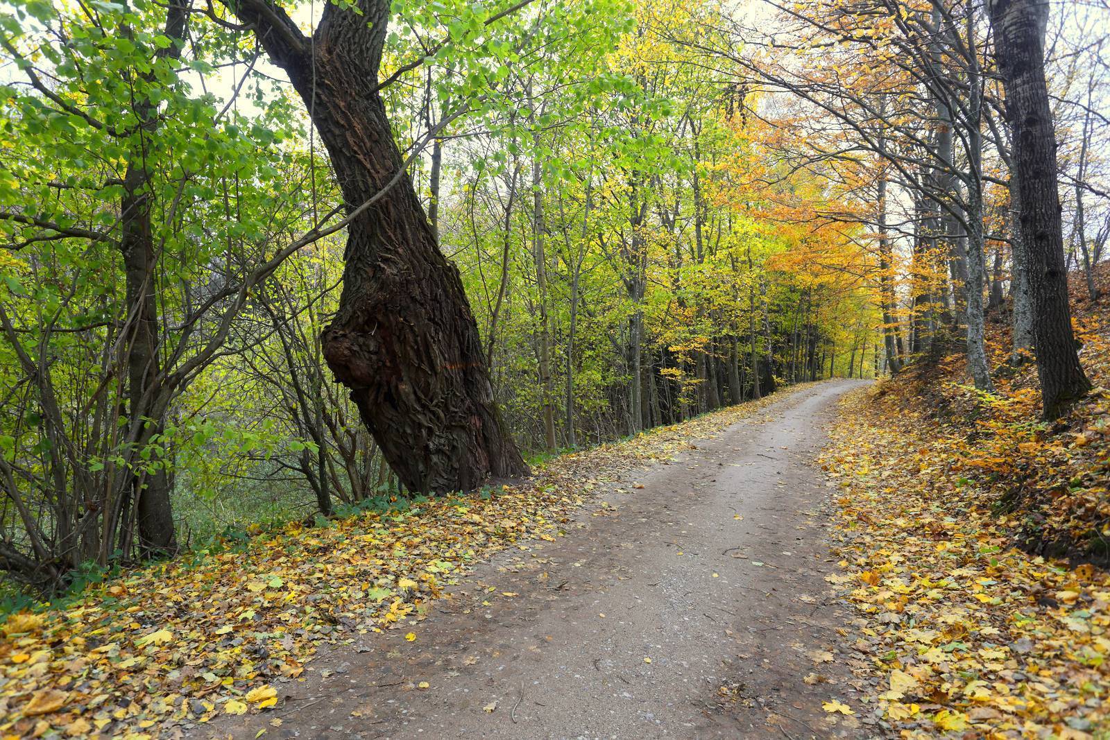
We cross over the railroad tracks, once again riding through a hilly landscape of fields and forests. Huge, old willow trees grow along the road in places. From time to time, you can spot the half-faded markings of a bike trail. We cross the Czerwonka River and pass the village of Łabuchy, at the edge of which we ride straight through the intersection. After riding 1 km along a road winding through consistently beautiful scenery, we turn onto an asphalt road and reach the village of Węgój. The next section takes us along the lake of the same name. At a bend in the road, we turn left onto a concrete-slab road, and shortly after, at a fork, we turn right onto a gravel road. The road here has a grassy ridge down the middle and is covered with sand in places. We cross an intersection with another gravel road and reach the paved DW596 road, turning left onto it. Straight ahead, you can see Lake Stryjewskie, which we’ll be driving around.
We enter the village of Dębowo, where, at the edge of the forest, we turn right onto a gravel road leading into the inner part of the village. Beyond the village, just before the forest edge, we make a sharp right turn onto a dirt road running close to the lake’s shore. The turn is marked by signs for a cycling trail that accompanies us for a short while. However, it’s worth continuing straight ahead for another 150 meters. There, a very beautiful stretch of forest stretches out, protected as the Dębowo Forest Nature Reserve. Hidden at its edge is the quiet, secluded forest lake Kociołek (Rodajek). Following the dirt road, with the lake on our right, we reach Stryjewo. The road becomes paved. We reach a larger road and turn right onto it; a few hundred meters further on, we turn left onto the main road. We follow it to Bredynki, once again through rolling hills, fields, and meadows. In Bredynki, we turn right onto Provincial Road DW590 toward Biskupiec. Riding along a road beautifully lined with maple trees, we pass through Adamowo and arrive in Biskupiec. In town, we turn left onto national road DK57 (Bolesława Chrobrego Street), and then take the first right exit at the roundabout. We reach Wolności Square, the starting point of our trip.
The route is marked with red signs on the initial section; there are no signs beyond that point. Recommended bike type: mountain bike.
We drive to Biskupiec. In the city center, near Wolności Square and the market square, you can easily find a parking spot. You can also start the loop route in Rukławki, where there is a public swimming area, or from the train station in Czerwonka, located about 2 km north of Łabuchy. Czerwonka has train connections to Olsztyn, Ełk, and Korsz.
Views from Bukowa Góra
Less than a kilometer past the railroad tracks, in a hollow between the hills, an inconspicuous road branches off to the right and heads uphill. It leads to Bukowa Góra, a lookout point offering a panoramic view of the surrounding area, including fields, a small lake, and the remains of an abandoned housing development.
Residents of the Roadside Trees
Old dirt and paved roads in Warmia and Masuria are very often lined with trees. Although other motives likely drove this practice, these trees now play an important role in enhancing the biodiversity of open areas. Many bird species characteristic of field and forest habitats—as well as the transitional zone between them—nest in old, hollow trees. These include hoopoes, green woodpeckers, owls (tawny owls and pygmy owls), starlings, and blackbirds. The same applies to many rare insect species. A classic example is the oak longhorn beetle—a protected species famous among naturalists, for which many Natura 2000 sites have been designated. The beetle develops in a thick layer of humus at the bottom of a tree cavity and almost never emerges into the light of day. Contrary to its name, it is not restricted solely to oak trees; it lives in the hollows of various deciduous trees.
Biskupiec
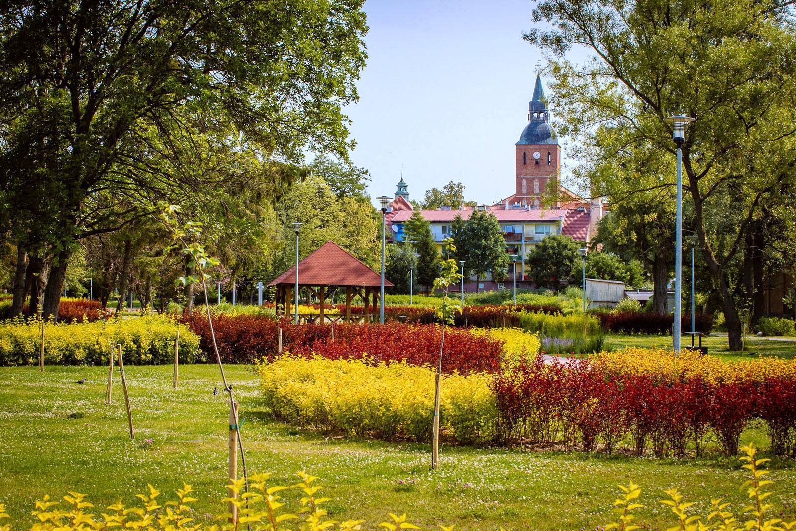
Biskupiec was granted town privileges in 1395. Initially, it was a settlement that grew up around a castle built by Henryk Sorbom, Bishop of Warmia. The stronghold was destroyed during the Polish-Teutonic Wars fought in the 15th and first half of the 16th centuries. The oldest surviving building in the town is the Church of St. John the Baptist, located right next to the market square. Its tower towers over the surrounding area and serves as a viewing point open to tourists. The church already existed in the 14th century, but during the city’s turbulent history, it was repeatedly destroyed, renovated, and rebuilt. Only part of the tower and part of the church walls have retained their original Gothic style. The oldest part of the building is the nave; the side aisles were added in the 18th century. The oldest piece of church furnishings is a Baroque baptismal font with a stone baptismal basin dating from 1740.
The townhouse located on the corner of the market square facing the church houses the “Sorboma” Creative Work Center. It features Poland’s largest collection of cameras (over 1,400 models). The building also houses the Biskupiec Region Gallery, which displays exhibits related to the history of the town and its surroundings, ranging from archaeological finds to memorabilia from the brewery that operated until 1998. Near the market square on Pionierów Street stands the stylish building of the former town hall from 1895, featuring the town’s distinctive coat of arms, which depicts a castle with two towers. On Warszawska Street stands the Neo-Romanesque Church of Blessed Karolina Kózkówna, originally built as an Evangelical-Augsburg church between 1842 and 1848. It was a gift from King Frederick William IV to the town’s residents. The church features a very distinctive square tower.
Lake Dadaj and Kayaking
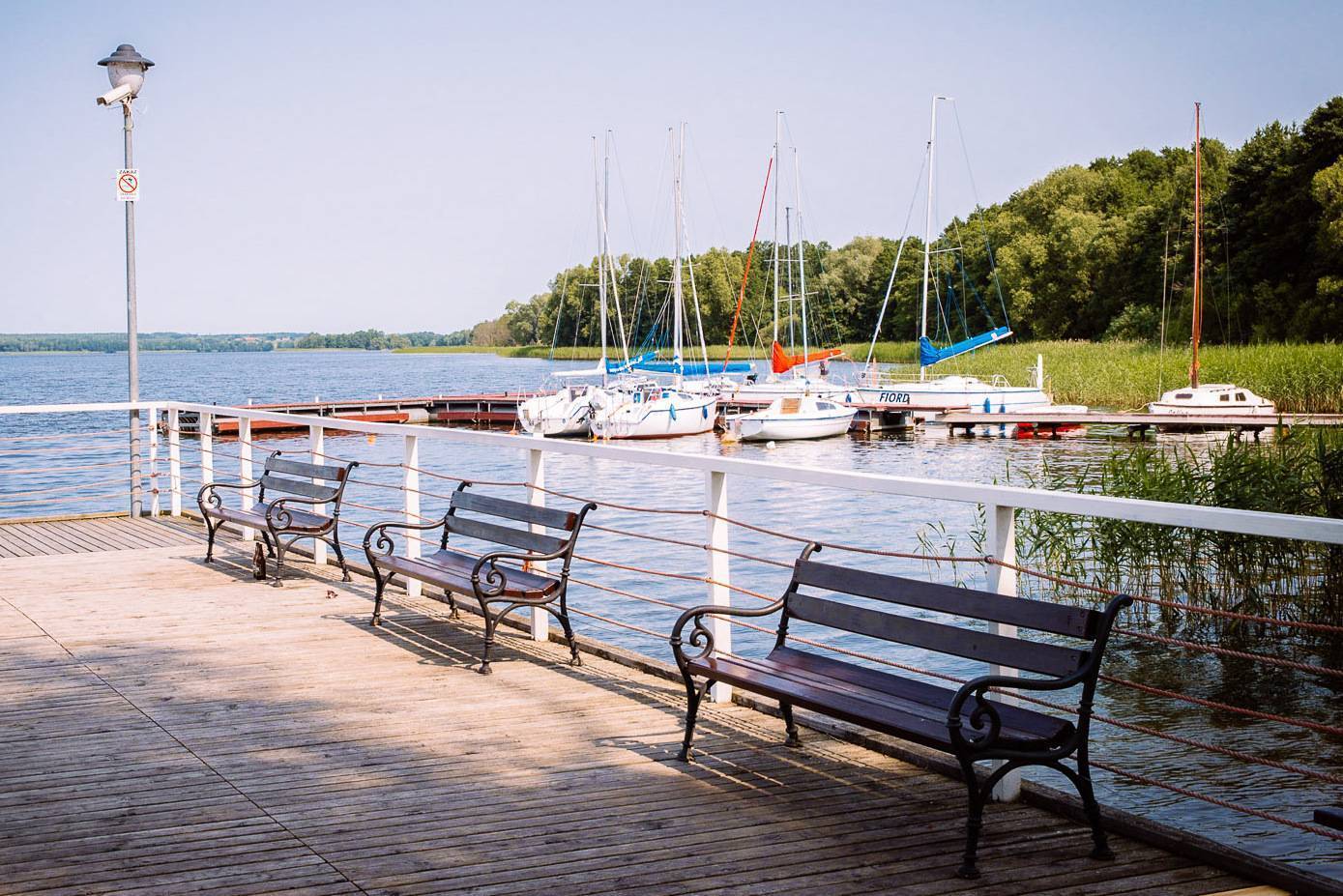
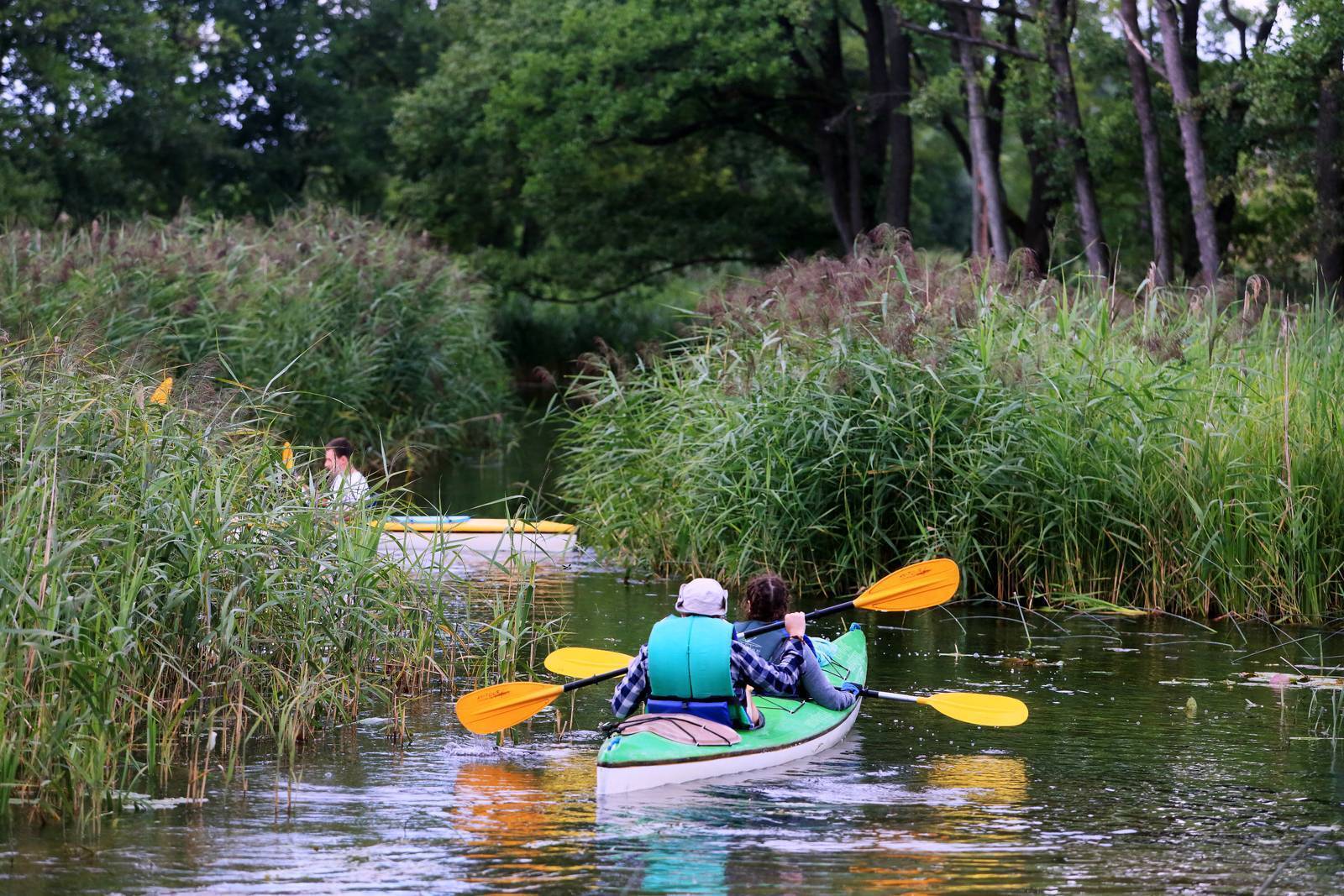
A picturesque lake covering an area of 977 ha with a highly varied shoreline stretching 34 km. Its lake bed is also varied, featuring numerous depressions and underwater hills—sandy or gravelly, and silty in the bays. These features make the lake attractive to anglers. Its large surface area is ideal for sailing. The Dymer River flows into the lake, offering a rather challenging kayaking route. As it flows out of the lake, it becomes the Dadaj River, which is only slightly easier to navigate by kayak. It is characterized by fluctuating water levels; when the water is low, you often have to get out of the kayak and drag it through the shallows, and it is also more difficult to navigate around tree trunks lying in the current. Flowing through several lakes (Tumiańskie, Pisz, Wadąg) and changing names (Pisa Warmińska, Wadąg), the river joins the Łyna in Olsztyn’s Municipal Forest.
Węgój
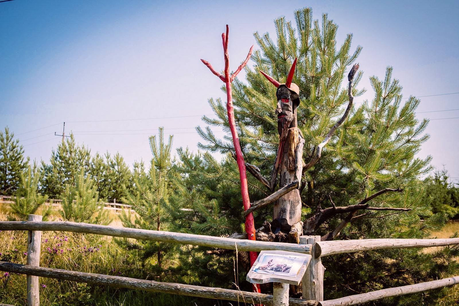
Many people have heard of certain creatures from Warmian folk beliefs. In Węgój, you can see how they were imagined. An educational nature trail called “Warmian Bogeymen” has been set up here. Several-meter-tall figures of these bogeymen stand in small squares and next to houses along the road running through the village. Among them are Smętek and Kłobuk, described by Melchior Wańkowicz—a creature resembling a black hen or a black grouse that, when fed warm milk, ensured prosperity on the farm. Next to Kłobuk is a somewhat neglected open-air museum of traditional agricultural machinery and equipment from the pre-combine era.
Dębowo Nature Reserve
The reserve covers an area of approximately 25 hectares. It protects the easternmost fragment of a dense natural beech forest. The presence of beech trees divides Masuria into two parts. In the western part (the Napiwodzko-Ramucka Primeval Forest), it is a common tree; in the eastern part (the Piska, Borecka, and Romincka primeval forests), it is absent except for a few isolated specimens. Some of the beech trees growing in the reserve have an unusual form. Their bark is not smooth but deeply furrowed, resembling a grater. Many of the trees are two hundred years old. The forest has the dark and mysterious atmosphere typical of beech forests; it is full of fallen old trees overgrown with moss and fungi.