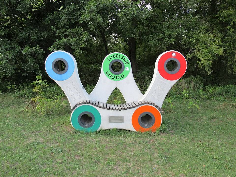
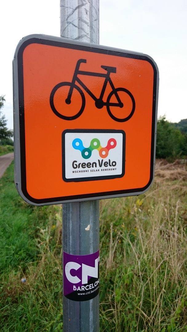
Green Velo, also known as the Eastern Cycle Route, is the longest uniformly marked cycle route in Poland. The route is 1,885 km long and runs through five provinces: Warmian-Masurian, Podlaskie, Lublin, Subcarpathian and Świętokrzyskie. The entire route is marked with orange Green Velo signs, and 7,000 boards and arrows were used to mark the trail, which makes it much easier to find your way along the route.
Length of the Green Velo Trail and elevation profile:
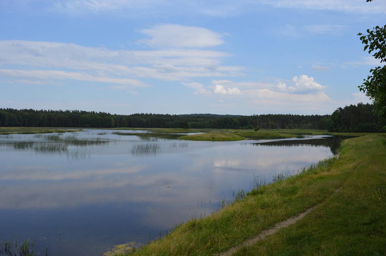
The Green Velo Trail is approximately 1,885 to 2,095 km long (depending on the variant). It runs through the lowland areas of Poland – forests, river valleys and agricultural areas. The most challenging sections are in the mountains of the Dynów and Przemyskie Foothills (Podkarpackie Province) and the hilly Roztocze region. Over 580 km are forest areas, approx. 180 km are river valleys.
Surface on the Green Velo trail:
Mostly local asphalt roads (approx. 1,399 km), some paved gravel/dirt roads (approx. 194 km), cobblestones, paving stones, field sections and unpaved roads. This means that most of the route is accessible by trekking or gravel bike. There are also sections of pure gravel on the route – the road can be challenging in some places.
Is Green Velo a difficult route?
Most of the trail runs on flat or slightly hilly terrain, which makes it suitable for less advanced cyclists. However, sections in south-eastern Poland – especially Rzeszów–Przemyśl or Roztocze – may require better fitness.
Signage and navigation on the Green Velo trail:
The trail is marked with orange signs. In addition, there are MOR stations and cycling infrastructure approximately every 10 km along the route. In total, there are approx. 228 cyclist service points (MOR). We recommend adding the route to My Map and opening it in the Traseo mobile app. It is also worth downloading an offline map beforehand. This will allow you to navigate the trail even without Internet access.
Where to stay and eat on the Green Velo trail?
There are 900 cyclist-friendly places along the route – accommodation, restaurants, bicycle services, charging stations. Over 500 accommodation facilities – hotels, guesthouses, agritourism.
Service and technical assistance:
MORs have self-service repair stations, pumps and sometimes e-bike charging stations. In addition, there are small bike repair shops and stores in towns and along the trail. It is worth taking a set of basic tools and a spare inner tube with you.
Attractions on the Green Velo Trail:
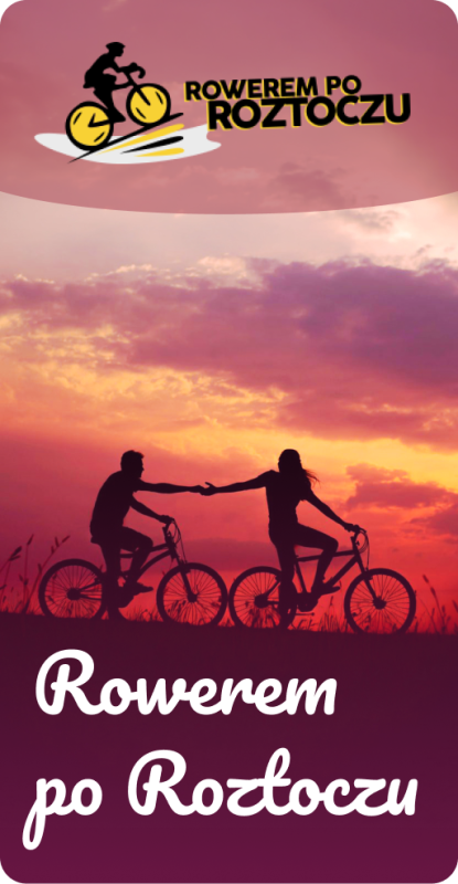
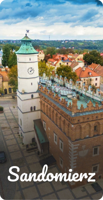
The route passes through five national parks: Wigry, Biebrza, Narew, Białowieża, Roztocze, and 16 landscape parks. Monuments – Frombork, Lidzbark Warmiński, Supraśl, Sandomierz, Łańcut, Chełm, Przemyśl, Tykocin, Leżajsk; sanctuaries, orthodox churches, synagogues; reserves and forests.
Do I need to make a reservation?
During the high season (especially July–August), it is better to book accommodation in advance, especially in tourist destinations (Okuninka, Zwierzyniec). In other locations, it is often possible to find accommodation on the spot, although MPR owners often have a limited number of beds.
Is wild camping allowed?
Polish law allows camping in designated ‘Zanocuj w lesie’ (Spend the night in the forest) areas, which often coincide with the Green Velo route. Many cyclists take advantage of this option – wild camping in the forest is quite common.
Safety – traffic and borders:
The route mainly follows quiet local roads with little traffic – lorries and city traffic are rare. The sections along the border with Ukraine/Belarus are mainly quiet local roads. In 2023, no serious problems were reported, and although border patrols are visible, they do not interfere with the route.
The best time to ride Green Velo:
From spring to early autumn – May to September. In winter, the route is not maintained – snow and mud make it difficult to ride, so the winter season is out of the question.
How much time do you need?
Covering the entire trail takes several days of intensive riding – approx. 80–150 km per day. It can be divided into thematic stages or only part of the route can be covered, starting from any point, thanks to good signage, GPX files and infrastructure.