category-icon

Granica przyjaźni (reaktywacja)

219 km
11 h 40 min
408 m
281 m
Gdynia
Zdjęcie 1
Zdjęcie 2
Zdjęcie 3
Zdjęcie 4
Zdjęcie 5
Zdjęcie 6

Charakterystyka trasy

2015-04-06
Gdynia
category-icon
Długość trasy:
219 km
Suma przewyższeń:
408 m
Suma spadków:
281 m
Średni czas potrzebny na pokonanie trasy:
11 h 40 min
Ocena trasy:
5.0/6
Ciekawe miejsca na trasie:
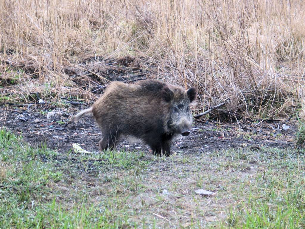
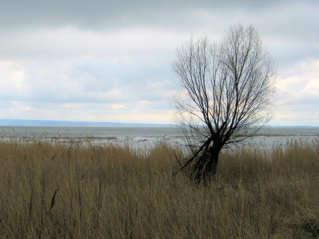
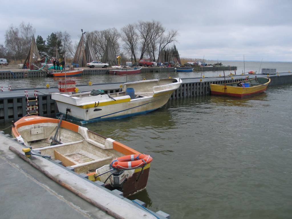
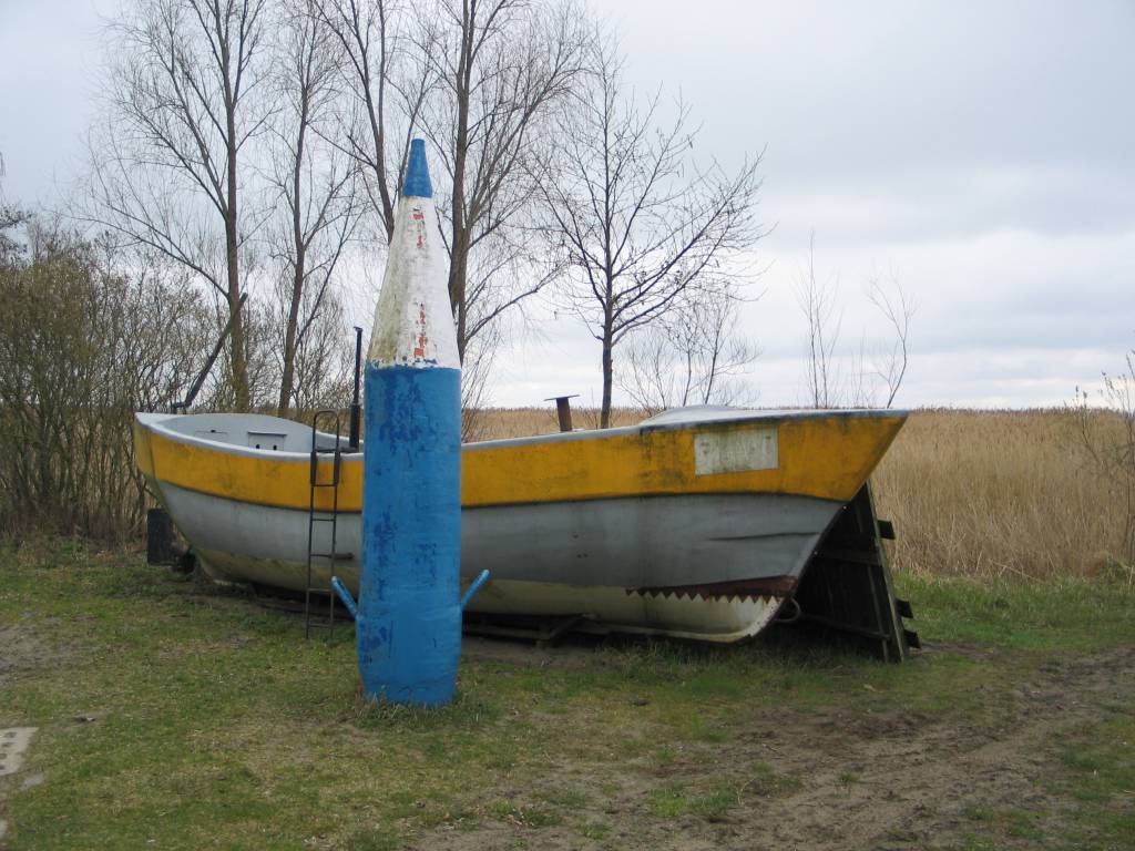
granica państwa, podstawa Niemieckiego radaru FuMG-65 Würzburg-Riese 2, betonowy posterunek graniczny (bunkier), dawna stacja ratownictwa morskiego, wydma szara, klif zalewowy, wielbłądzi Garb 49,5 m n.p.m, słupki graniczne.

Komentarze

NA TYCH TRASACH PRZYDA CI SIĘ MAPOPRZEWODNIK LUB MAPA Z NASZEJ APLIKACJI
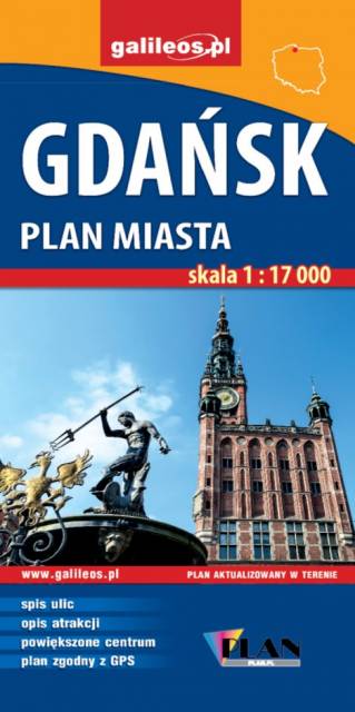
Gdańsk. Plan miasta
MAPA TURYSTYCZNA W APLIKACJI TRASEO
Gdańsk. Plan miasta

Na planie zaznaczono wszystkie aktualne ulice, kina, teatry, ośrodki kultury, urzędy, stacje benzynowe, noclegi, restauracje, układ komunikacji. Oprócz spisu ulic są tu ważniejsze informacje dotyczące Gdańska oraz opis ciekawych miejsc.

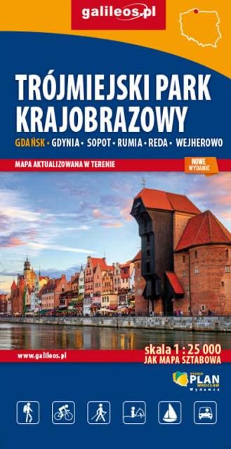
Tricity Landscape Park
MAPA TURYSTYCZNA W APLIKACJI TRASEO
Tricity Landscape Park

Tricity Landscape Park is a protected area in northern Poland, in the Pomeranian Voivodeship, close to Gdynia and Gdańsk. Cycling, walking and horse trails are marked on the map, as well as other information useful for tourists.

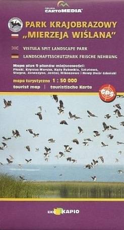
Vistula Spit Landscape Park
MAPA TURYSTYCZNA W APLIKACJI TRASEO
Vistula Spit Landscape Park

Vistula Spit Landscape Park is a protected area on the Vistula Spit in northern Poland. The Park covers an area of 44.10 square kilometres. It lies within Pomeranian Voivodeship, in Nowy Dwór Gdański County (Krynica Morska, Gmina Sztutowo). Within the Landscape Park are two nature reserves.
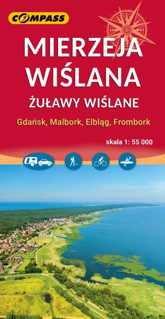
Mierzeja Wislana i Zuławy Wislane
MAPA TURYSTYCZNA W APLIKACJI TRASEO
Mierzeja Wislana i Zuławy Wislane
Kashubian Baltic Coast
MAPA TURYSTYCZNA W APLIKACJI TRASEO
Kashubian Baltic Coast

Kashubian Lake District is a region in nothern Poland, largely populated by Kashubians, from which the name of the region originates. In this characteristic post-glacial landscape with hills rising up to 656 feet above sea level, there are almost 250 lakes. At the same time, it is also one of the largest forest areas in Poland. All the hiking and walking routes, tourist attractions, fortifications and lighthouses are marked on the map.
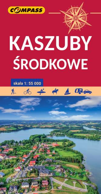
Central Kashubia
MAPA TURYSTYCZNA W APLIKACJI TRASEO
Central Kashubia

Kashubia is an area in eastern Pomerania, a region of north-western Poland. In this characteristic post-glacial landscape with hills rising up to 656 feet above sea level, there are almost 250 lakes. At the same time, it is also one of the largest forest areas in Poland. Located west of Gdańsk and the mouth of the Vistula river, it is inhabited by members of the Kashubian ethnic group. The map depicts the middle part of the region, the Tuchola Forest and part of the Tricity Landscape Park near Gdańsk.

Miejscowości na trasie