


Andrzej Tarasewicztarasa
Charakterystyka trasy
2023-07-30
Alesd-Warna

Długość trasy:
801 kmSuma przewyższeń:
0 mSuma spadków:
0 mOcena trasy:
1.0/6Komentarze
NA TYCH TRASACH PRZYDA CI SIĘ MAPOPRZEWODNIK LUB MAPA Z NASZEJ APLIKACJI
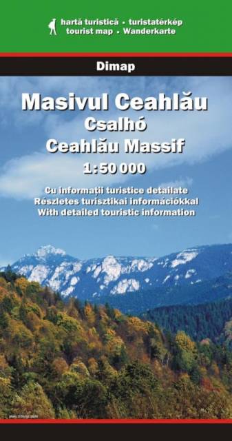
MAPA TURYSTYCZNA W APLIKACJI TRASEO
Góry Ceahlău
Należące do Karpat Wschodnich góry Ceahlău w północnej Rumunii to jeden z najbardziej znanych masywów tego kraju. Najwyższe szczyty osiągają wysokość niecałych 2 000 m n.p.m. Główne szlaki prowadzą z wioski Izvorul Muntelui, położonej 12 km na północ od miasta Bicaz, na południe od masywu. Od północy wyprawę można zacząć w miejscowości Durau, gdzie znajdują się także stoki narciarskie.
Uwaga! Mapa obarczona niewielkim błędem kalibracji - ok. 200 m przesunięcia w stosunku do podkładu google maps.
Uwaga! Mapa obarczona niewielkim błędem kalibracji - ok. 200 m przesunięcia w stosunku do podkładu google maps.
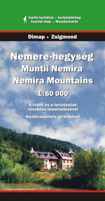
MAPA TURYSTYCZNA W APLIKACJI TRASEO
Góry Nemira
Położone w centralnej części Karpat Wschodnich, w samym sercu Rumunii Góry Nemira (rum. Munţii Nemira), to wciąż dziewiczy i rzadko eksploatowany region - tylko na wschodnich krańcach funkcjonuje uzdrowisko Slănic Moldova. Rozciągają się pomiędzy drogą Oneşti–Târgu Secuiesc na południowym wschodzie, doliną rzeki Caşin na zachodzie, rzeką Uzul na północnym zachodzie oraz rzeką Trotuş na północnym wschodzie. Ta ostatnia oddziela pasmo od gór Tarcău. Najwyższym szczytem gór jest Nemira Mare (1649 m n.p.m.).
Uwaga! Mapa obarczona niewielkim błędem kalibracji - ok. 200 m przesunięcia w stosunku do podkładu google maps.
Uwaga! Mapa obarczona niewielkim błędem kalibracji - ok. 200 m przesunięcia w stosunku do podkładu google maps.
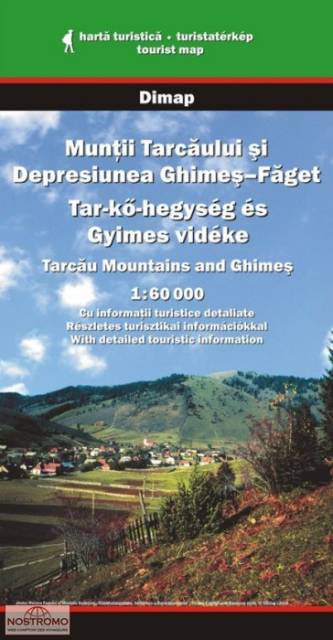
MAPA TURYSTYCZNA W APLIKACJI TRASEO
Góry Tarcău
Masyw Tarcău wznosi się w północno-wschodniej Rumunii. Jest to część Karpat Mołdawsko-Munteńskich, ograniczony od północy dolinami rzek Bicaz i Bistriţa, od zachodu dolinami rzek Dămuc i Valea Rece, od południa doliną rzeki Trotuş. Od wschodu masyw Tarcău przechodzi w łagodne wzgórza biegnące pomiędzy Piatra Neamţ a Moinești. Najwyższym szczytem gór jest Tar-havas (1663 m).
Uwaga! Mapa obarczona niewielkim błędem kalibracji - ok. 200 m przesunięcia w stosunku do podkładu google maps.
Uwaga! Mapa obarczona niewielkim błędem kalibracji - ok. 200 m przesunięcia w stosunku do podkładu google maps.
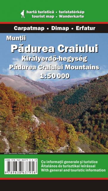
MAPA TURYSTYCZNA W APLIKACJI TRASEO
Pădurea Craiului
Pasmo Pădurea Craiului (rum. "Królewski Las") rozciąga się w zachodniej Rumunii, w Siedmiogrodzie i należy do grupy Gór Kereszu w Górach Zachodniorumuńskich (Apuseni). Najwyższym szczytem jest Hodrâncuşa - 1027 m n.p.m.
Uwaga! Mapa obarczona niewielkim błędem kalibracji - ok. 200 m przesunięcia w stosunku do podkładu google maps.
Uwaga! Mapa obarczona niewielkim błędem kalibracji - ok. 200 m przesunięcia w stosunku do podkładu google maps.
MAPA TURYSTYCZNA W APLIKACJI TRASEO
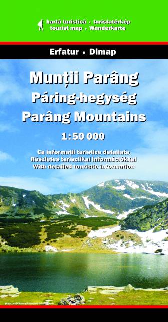
Góry Parâng
Parâng – drugie pod względem wysokości pasmo górskie Rumunii, położone w Karpatach Południowych. Odgraniczone jest na północy doliną Jiu de Vest od gór Şureanu, na wschodzie dolinami rzek Lotru i Olteţ od pasm Lotru i Căpăţânii, na zachodzie doliną Jiu od gór Retezat, od strony południowej opadają w stronę Niziny Wołoskiej.
Najwyższym szczytem gór Parâng jest Parângul Mare (2518 m n.p.m.).

MAPA TURYSTYCZNA W APLIKACJI TRASEO
Rejon Ghimeș
Mapa przedstawia fragment Karpat Wschodnich w środkowej Rumunii, na północnym wschodzie od miasta Miercurea-Ciuc. Obszar mapy na północy ogranicza masyw Tarcău, a na południu pasmo gór Nemira.
Uwaga! Mapa obarczona błędem kalibracji - kilkaset metrów przesunięcia w stosunku do podkładu google maps.
Uwaga! Mapa obarczona błędem kalibracji - kilkaset metrów przesunięcia w stosunku do podkładu google maps.