category-icon

Droga Dolnośląska Świętego Jakuba (piesza) Głogów-Zgorzelec

158 km
703 m
600 m
Głogów Zgorzelec
no photo

Charakterystyka trasy

2021-06-30
Głogów Zgorzelec
category-icon
Długość trasy:
158 km
Suma przewyższeń:
703 m
Suma spadków:
600 m
Ocena trasy:
1.5/6
Dolnośląska Droga Świętego Jakuba, której celem jest Santiago de Compostella. Tutaj prezentuję trasę pieszą, ale niewiele się różni od rowerowej. Niniejsza trasa omija Pogorzeliska i to jest jedyna różnica.

Komentarze

NA TYCH TRASACH PRZYDA CI SIĘ MAPOPRZEWODNIK LUB MAPA Z NASZEJ APLIKACJI
Gmina Iłowa - mapa historyczna
MAPA TURYSTYCZNA W APLIKACJI TRASEO
Gmina Iłowa - mapa historyczna

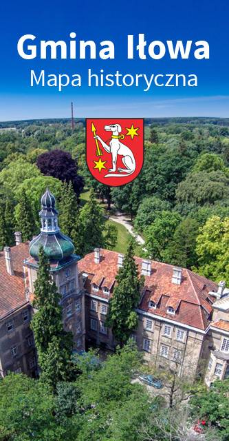
Mapa historyczna Gminy Iłowa.

Dolina Bobru
MAPA TURYSTYCZNA W APLIKACJI TRASEO
Dolina Bobru

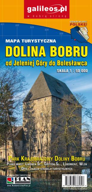
Mapa Doliny Bobru zasięgiem obejmująca obszar od Jeleniej Góry do Bolesławca. Na mapie zaznaczono szlaki turystyczne piesze i rowerowe oraz ważniejsze atrakcje turystyczne. 

Dolina Bobru
MAPA TURYSTYCZNA W APLIKACJI TRASEO
Dolina Bobru

Mapa Doliny Bobru, zaktualizowana w ternie. Obejmuje obszar od Jeleniej Góry na południu do Bolesławca na północy. Na mapie Doliny zaznaczono szlaki turystyczne piesze i rowerowe oraz najważniejsze atrakcje turystyczne. Rok wydania 2021

Kaczawskie Mountains and Kaczawskie Piedmont
MAPA TURYSTYCZNA W APLIKACJI TRASEO
Kaczawskie Mountains and Kaczawskie Piedmont

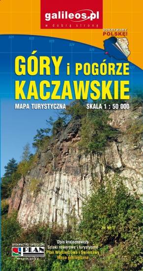
Góry Kaczawskie are a mountain range in the Western Sudetes in Poland, in the Lower Silesian Voivodeship. The highest peak is Skopiec (724 m). Map range: Legnica to the north and Jelenia Góra to the south. It depicts also area of the Dolina Bobru Landscape Park and the Chełmy Landscape Park. Tourist attractions, as well as cycling and walking trails are marked on the map.

Upper Lusatia
MAPA TURYSTYCZNA W APLIKACJI TRASEO
Upper Lusatia

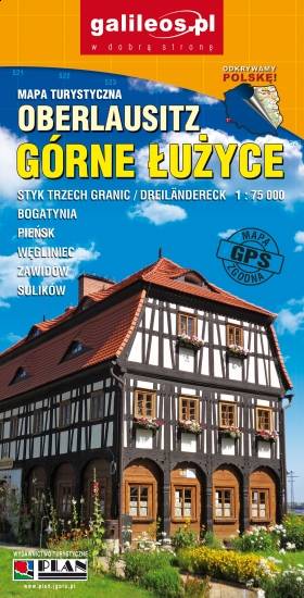
The map presents the area where three borders meet: that of Poland, Germany and Czech Republic. The area is part of the Upper Lusatia historical region. Tourist attracions, cycling and walking trails are marked on the map.

Sława Lakeland
MAPA TURYSTYCZNA W APLIKACJI TRASEO
Sława Lakeland

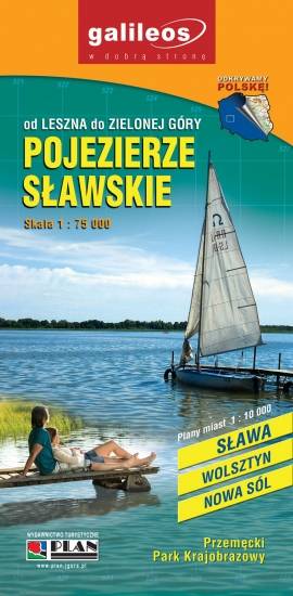
The Sława Lakeland is situated in western Poland, where borders of three voivodeships meet: the Lubus Voivodeship, the Lower Silesian Voivodeship and the Greater Poland Voivodeship. The map also covers the Przemęt Landscape Park. Lot of information useful for tourists is marked on the map: monuments, accomodation facilities, protected areas, cycling, walking, and canoeing trails.

Miejscowości na trasie