category-icon

do Baborowa na kawa ;)

125 km
6 h 38 min
1059 m
1137 m
RYBNIK
Zdjęcie 1
Zdjęcie 2
Zdjęcie 3

Charakterystyka trasy

2018-03-30
RYBNIK
category-icon
Długość trasy:
125 km
Suma przewyższeń:
1059 m
Suma spadków:
1137 m
Średni czas potrzebny na pokonanie trasy:
6 h 38 min
Ocena trasy:
2.7/6

Komentarze

NA TYCH TRASACH PRZYDA CI SIĘ MAPOPRZEWODNIK LUB MAPA Z NASZEJ APLIKACJI
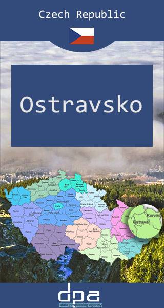
Ostrava Region
MAPA TURYSTYCZNA W APLIKACJI TRASEO
Ostrava Region

The map presents part of north-eastern Czech Republic, near the border with Poland. The capital city of the region -Ostrava - straddles the border of the two historic provinces of Moravia and Silesia.

Published: 2016/2017

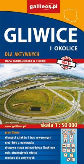
Gliwice Area
MAPA TURYSTYCZNA W APLIKACJI TRASEO
Gliwice Area
The map covers part of the Silesian Voivodeship in southern Poland: Gliwice city and its surroundings. Lot of information useful for tourists is marked on the map: monuments, accomodation facilities, protected areas, cycling and walking trails. The most interesting places are highlighted with a yellow frame.
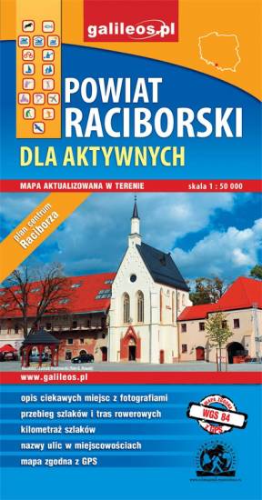
Racibórz County
MAPA TURYSTYCZNA W APLIKACJI TRASEO
Racibórz County

The map presents the Racibórz County in the Upper Silesia region, Poland. It is comprised of five municipalities: Racibórz, Kornowac, Nędza, Kuźnia Raciborska, Rudnik, Pietrowice Wielkie, Krzanowice, Krzyżanowice. The most interesting places are highlighted with a yellow frame. Cycling, walking and didactic trails are marked on the map.
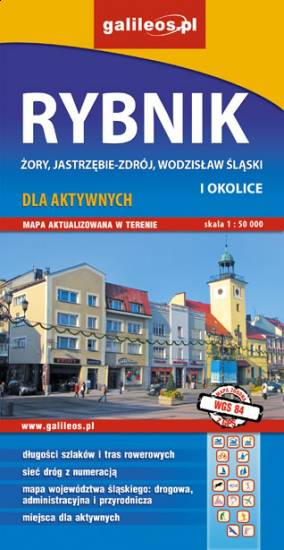
Rybnik Region
MAPA TURYSTYCZNA W APLIKACJI TRASEO
Rybnik Region

The map range: Żory in Poland to the east, Karviná in Czech Republic to the south, Wodzisław Śląski (Poland) and Ostrava suburbs (Czech Republic) to the west, and Gliwice suburbs (Poland) to the north. Tourist attractions, cycling and walking trails, boundaries of protected areas, as well as accomodation facilities are marked on the map.
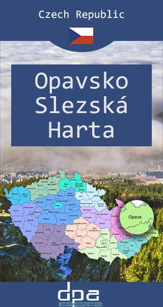
Opava Region and Slezská Harta Dam
MAPA TURYSTYCZNA W APLIKACJI TRASEO
Opava Region and Slezská Harta Dam

The map presents the region in north-eastern Czech Republic, near the border with Poland.

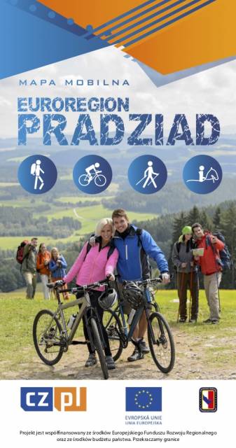
Euroregion Pradziad
MAPA TURYSTYCZNA W APLIKACJI TRASEO
Euroregion Pradziad

The tourist map of the Pradziad Euroregion covers the area of the Polish-Czech border region: the Opolskie voivodeship on the Polish side and the Jeseník and Bruntál regions on the Czech side. A specially developed cartographic base contains necessary information for active tourism in the cross-border region: hiking trails, horse riding trails, cycle routes and others.

The map was produced under the project "E-bike modern tourism" co-financed by the European Regional Development Fund and the state budget. "We cross borders".


Miejscowości na trasie