

Charakterystyka trasy

Komentarze
NA TYCH TRASACH PRZYDA CI SIĘ MAPOPRZEWODNIK LUB MAPA Z NASZEJ APLIKACJI
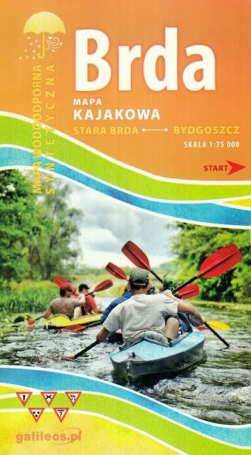
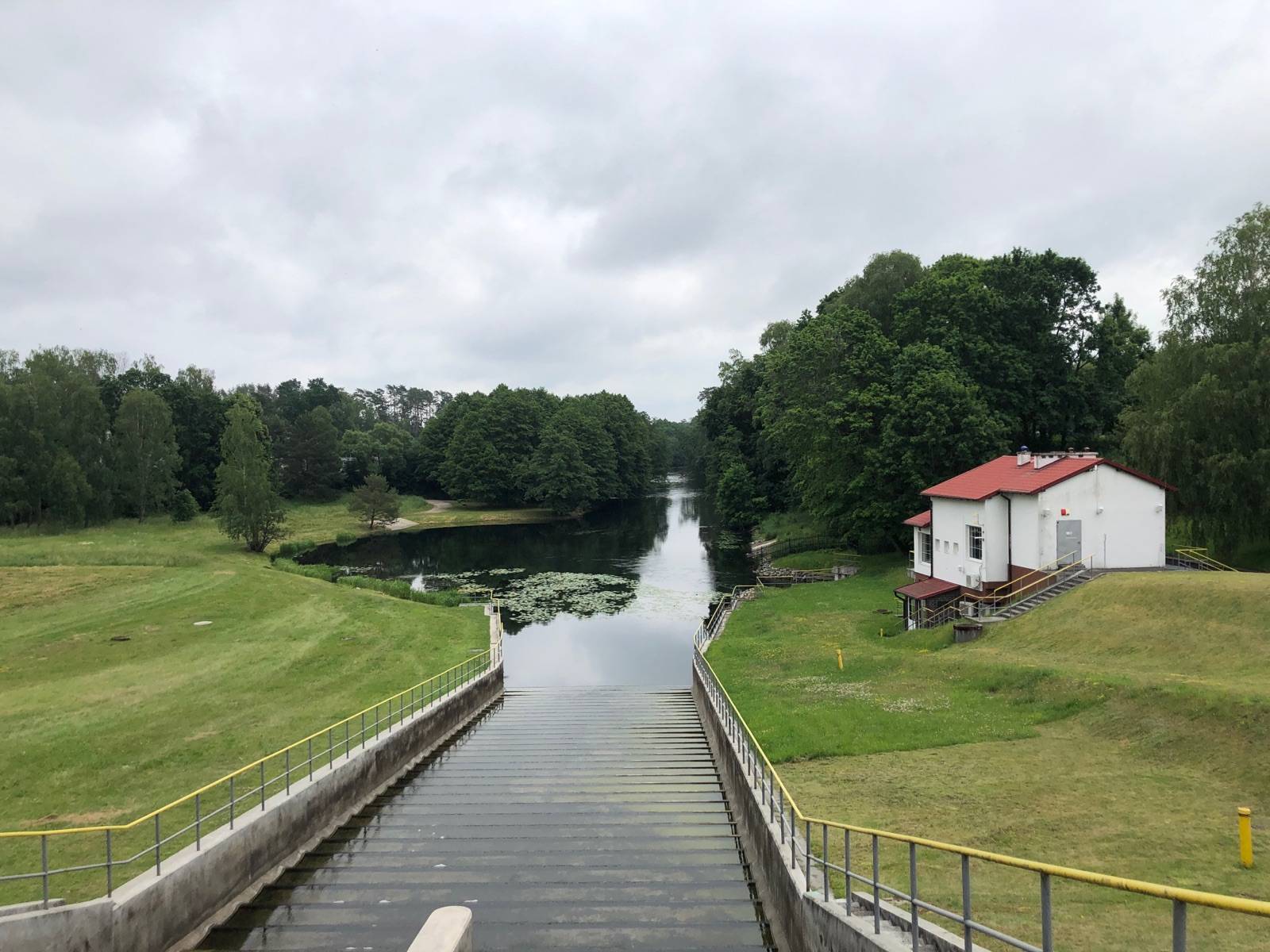
Mapa Brda przedstawia szlak kajakowy rzeką Brdą, od Nowej Brdy do Tucholskiego PK. Na mapie zaznaczono kilometraż rzeki oraz obiekty istotne dla kajakarza takie jak miejsca niebezpieczne, przeszkody na trasie spływu, pola biwakowe.
Mapa jest zorientowana zgodnie z kierunkiem płynięcia.
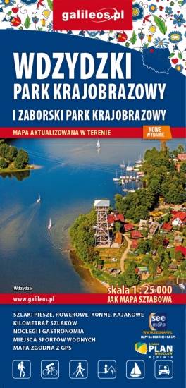
Mapa Parków Krajobrazowych Wdzydzkiego i Zaborskiego. Na mapie zaznaczono przebieg szlaków pieszych, rowerowych, konnych i kajakowych. Przy szlakach uwzględniono kilometraż. Na mapie znajdziemy położenie punktów noclegowych i gastronomicznych. Rok wydania: 2020
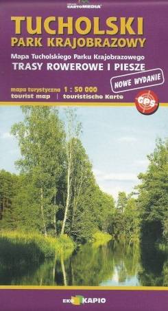
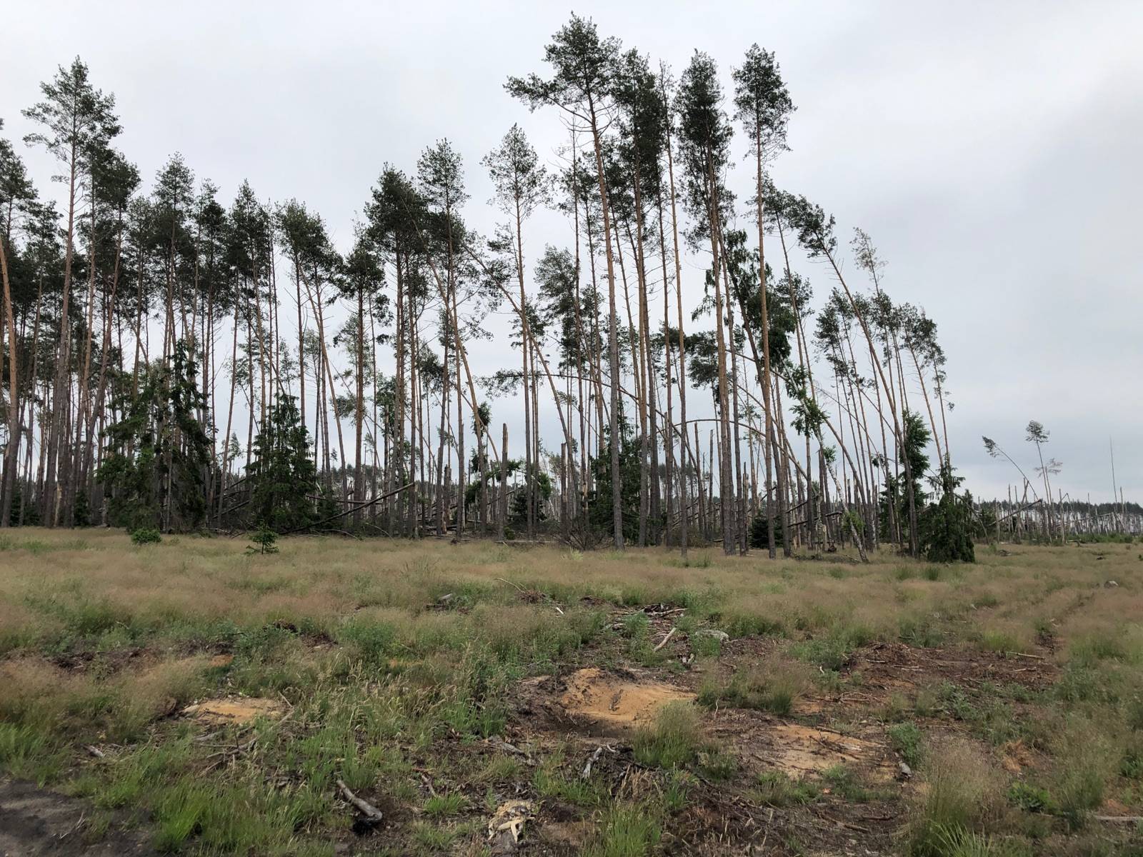
Mapa "Tucholski Park Krajobrazowy" obejmuje swym zasięgiem olbrzymi kompleks leśny pomiędzy Czerskiem, Tucholą a autostradą A1. Doskonale nadaje się na piesze i rowerowe wędrówki po tych interesujących terenach. Możemy tu odkryć m.in. akwedukt w Fojutowie, dawny gród w Raciążu, czy odbyć arcyciekawą wędrówkę wzdłuż przepięknej Brdy.
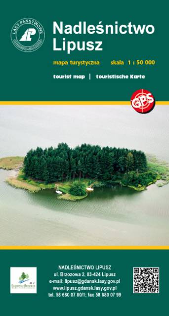
Publikacja z serii map "leśnych" Wydawnictwa Eko-Kapio. Nadleśnictwo zadbało o to, żeby przy tym stopniu szczegółowości (skala 1:50 000) umieścić na mapie wszelkie możliwe trasy turystyczne (szlaki piesze, rowerowe, Nordic Walking, kajakowe), które stanowią świetną inspirację do wyruszenia na wędrówkę. Ponadto zaznaczono liczne ciekawostki turystyczno-krajoznawcze, np. widoczne nasypy po budowanej i nieukończonej autostradzie "Berlince" oraz granica polsko-niemiecka z 1939 r.
Wydanie 1, 2017
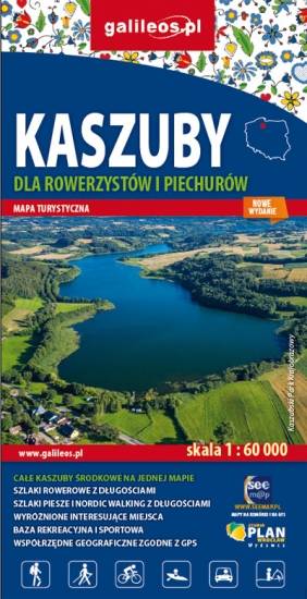
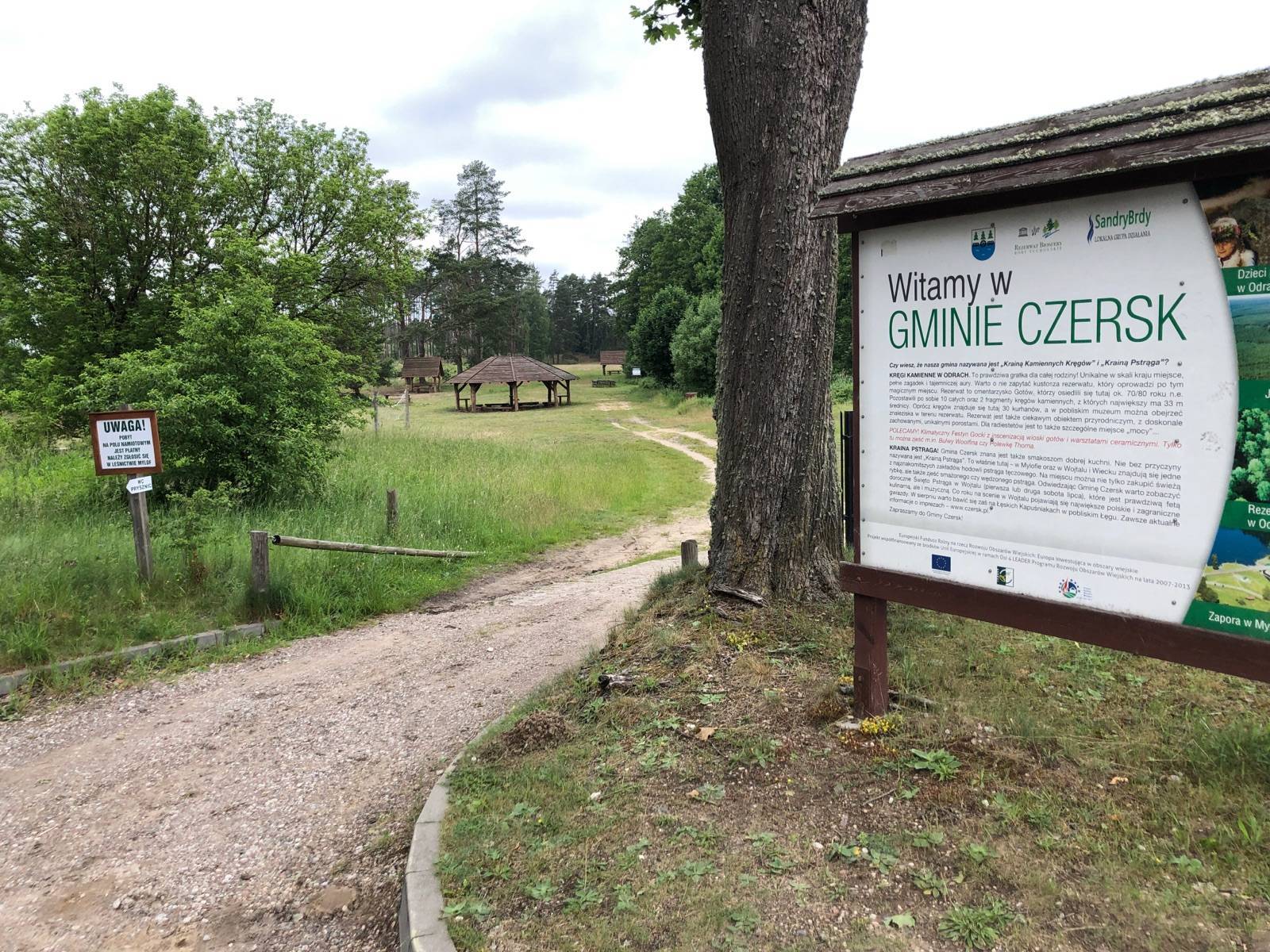
Mapa Kaszub dla rowerzystów i piechurów część południowa. Zasięg mapy ograniczony jest miejscowościami: Przechlewo na zachodzie, Borzyszkowy i Sominy na północy, Czarna Woda i Czersk na wschodzie oraz Chojnice i Człuchów na południu. Na mapie uwgzlędniono trasy rowerowe, szlaki piesze i Nordic Walking z długościami. Dodatkowo zaznaczone zostały drogi polne, leśne oraz szlaki kajakowe. Są tu też zabytki, noclegi, muzea, punkty widokowe, szczególnie warte odwiedzenia miejsca zaznaczono żółtą ramką.

Kaszubska Marszruta to sieć szlaków w okolicach Borów Tucholskich. Mapa offline, której zakupu można dokonać w aplikacji Traseo, została wydana przez Studio Plan. Obejmuje obszar wokół Brus, Czerska, Chojnic. Na mapie zostały zaznaczonr informacje praktyczne w postaci: zabytków, miejsc noclegowych, granic obszarów chronionych. Zaznaczono również wybudowane w ramach projektu „Kaszubska Marszruta” trasy rowerowe. Jest to sieć bardzo dobrze oznakowanych szlaków rowerowych o nawierzchni szutrowej, asfaltowej lub betonowej, a także sieć innych dróg nadających się do jazdy rowerem. Na szlakach Kaszubskiej Marszruty zadbano o miejsca przeznaczone do odpoczynku i drobnych napraw. Trasy rowerowe przeznaczone są tak dla dorosłych jak i dla dzieci. Na mapie zostały podane tażke przebiegi szlaków pieszych oraz konnych wraz z kilometrażem, co ułatwi planowanie wycieczki. Ukształtowanie terenu pokazano przy pomocy poziomic. Siatka geograficzna zgodna z GPS oparta na układzie WGS-84.
Mapa przygotowana tylko dla urządzeń cyfrowych – nie ma wersji papierowej.