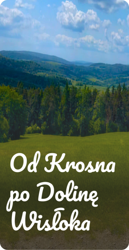

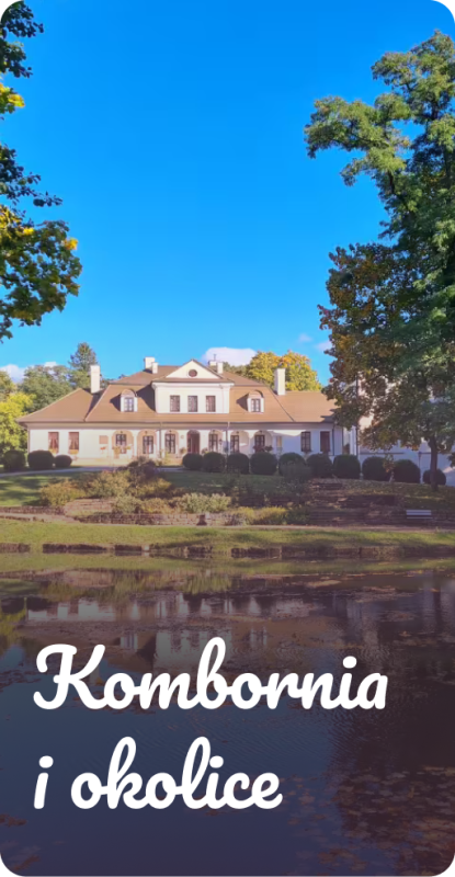
Kombornia
Okolice Dworu Kombornia dla Aktywnych
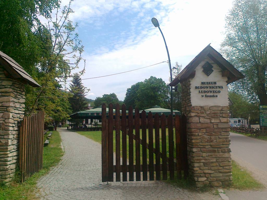
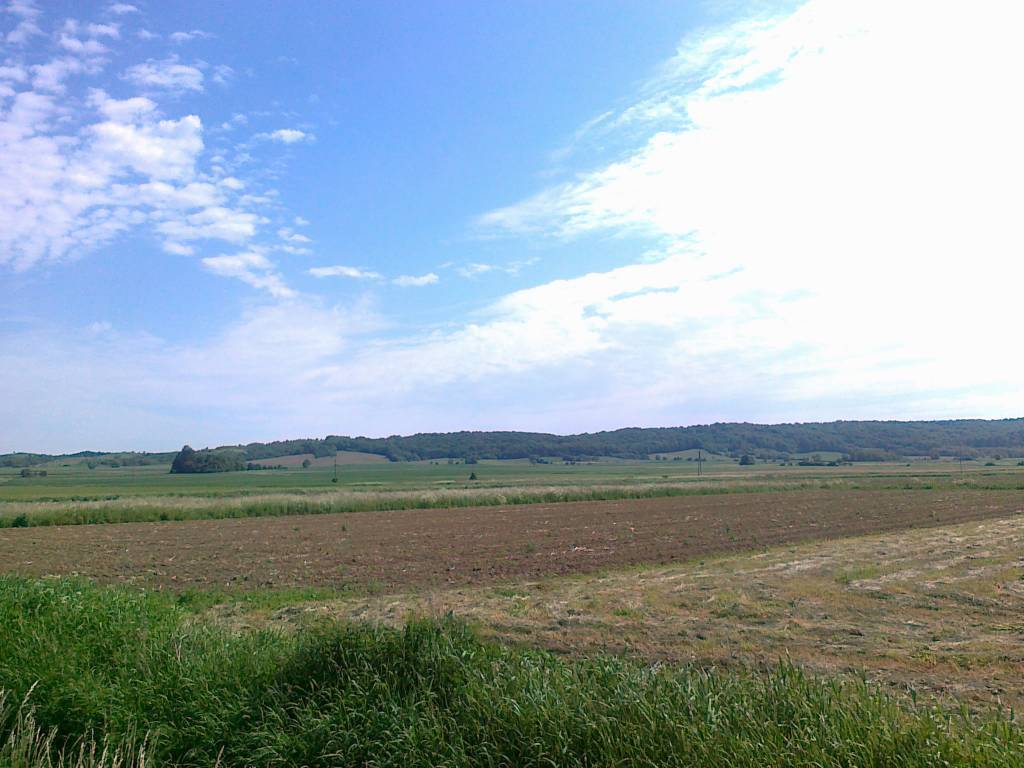
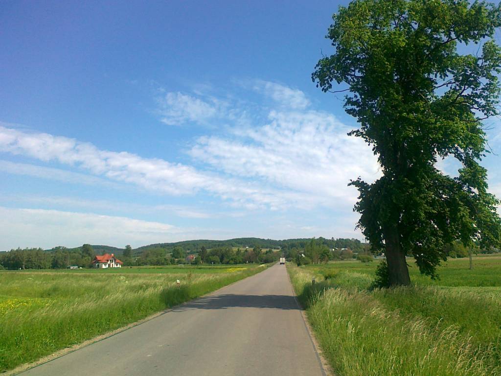
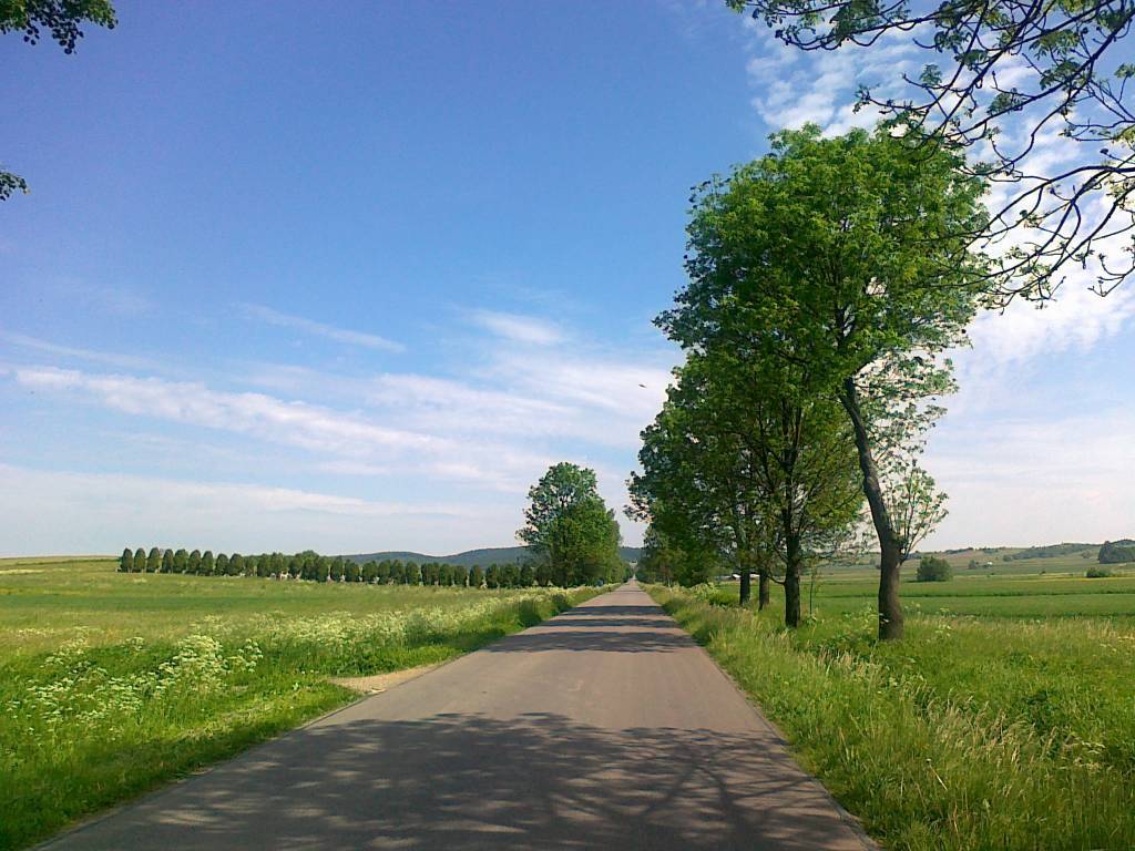
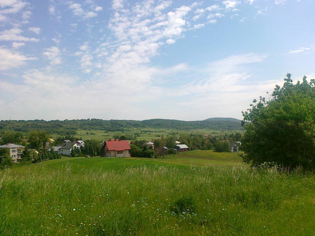
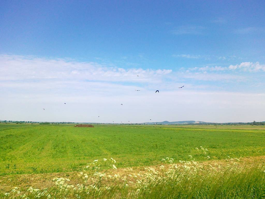
Okolice Dworu Kombornia to idealne miejsce dla miłośników aktywnego wypoczynku, natury i lokalnych atrakcji. Malownicze trasy piesze oraz rowerowe prowadzą przez pagórkowate tereny Pogórza Dynowskiego i Beskidu Niskiego, oferując wyjątkowe widoki, leśne ścieżki oraz klimatyczne drogi idealne na rodzinne wycieczki i dłuższe wyprawy rowerowe.