Kurzętnik (0.0 km) – Nowe Miasto Lubawskie (3.2 km) – Bratian (6.6 km) – Radomno (15.4 km) – Katarzynki (18.0 km) – Iława (25.8 km)
A short, 22-kilometer route running through culturally rich areas of the former Polish-Teutonic borderland. It abounds in interesting historical sites, many of which date back to the Middle Ages, and captivates with its picturesque landscape and the beauty of the surrounding nature. Its route follows the former Railway Line No. 251, Tama Brodzka–Iława, which operated from 1902 to 2000. Although the tracks have been dismantled, the embankment remains, as do several similar, stylish railway station buildings constructed of red brick in the early 20th century. They stand every few kilometers right next to the trail; at some, such as in Kurzętnik and Radomno, the station names are still visible. Cycling this route is a great option for families with children.
We begin the trip in Kurzętnik, although the bike path actually starts in Lipowiec, located about 2 km south of Kurzętnik. The best way to reach Kurzętnik is by car. You can park in the lot next to the historic Church of St. Mary Magdalene.
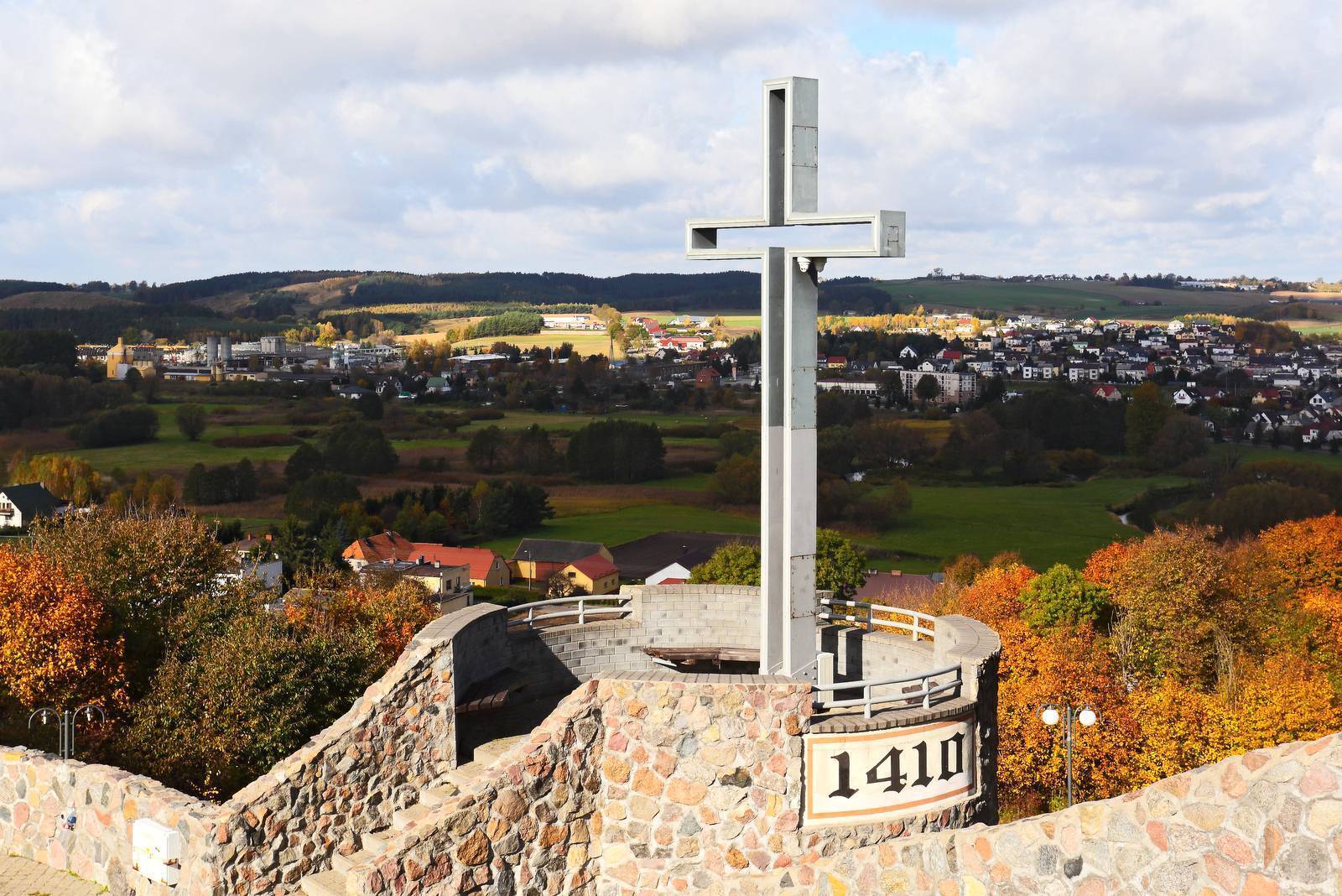
Before starting the bike tour, it’s worth climbing Castle Hill (also known as Kurnik) along the Grunwald Way of the Cross, which will lead you to a lookout point featuring a field altar, an amphitheater, and an astronomical observatory. From here, you can enjoy a view of the Drwęca Valley. A few dozen steps further on, to the left, lie the ruins of the medieval castle of the Chełmno Chapter in Kurzętnik. From here, too, a beautiful panorama of the surrounding area unfolds. On the eastern slope of the hill stands a monument dedicated to Nicolaus Copernicus. From there, a magnificent view of the Kurza Góra ski resort opens up.
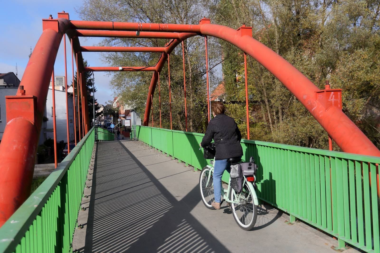
We set off from the church and head west on Jagiełły Street, passing the market square; the street then changes its name to Hunta Street, and then to Dworcowa Street. We cross the bridge over the Drwęca River and reach the bike path. We turn right. The route follows the railroad embankment; it is about 2 m wide and has an asphalt surface. At the edge of town, it joins Kopernika Street and runs along it. The surface changes to cobblestones. About 2 km from the start of the path, we reach Nowe Miasto Lubawskie—here, the surface returns to asphalt.
We reach a point where the path forks. If we go straight, we’ll arrive at the historic center of Nowe Miasto Lubawskie (on a cobblestone surface, with the last approx. 300 m on a public road), where there’s a large parking lot where we can leave our bikes to explore the old town. The actual route crosses to the left side of the street and heads uphill. The surface changes back to asphalt. We reach a park where the path disappears for about 200 meters; we then follow a dirt park path, cross the street, and ride a few dozen meters slightly uphill on a concrete-slab road. Here we rejoin the asphalt path, then cross the highway and continue straight toward Łąki Bratiańskie and Bratian.
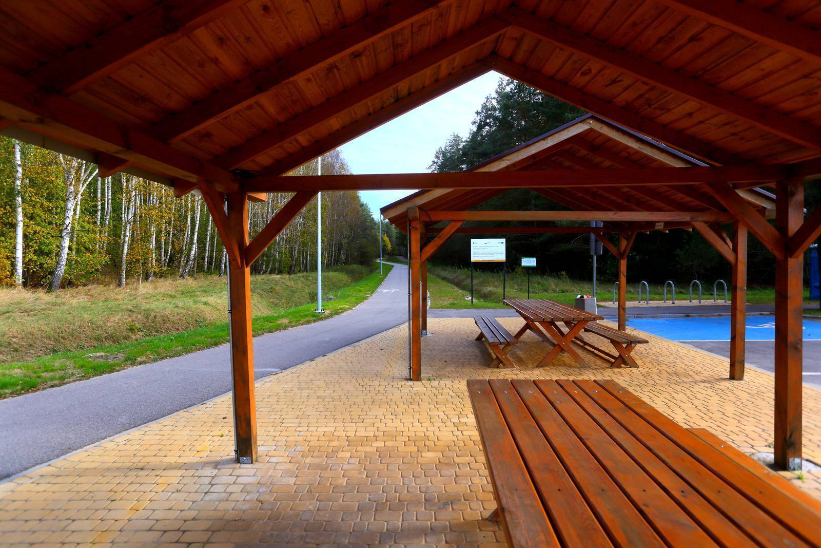
In Bratiana, the path runs behind the buildings. In some places, it follows a walking trail and crosses the busy road several times. Beyond Bratiana, we enter wilder terrain. To the right stretches the valley of the meandering Drwęca River, surrounded by varied, rolling landscapes of meadows, fields, and forests. At the point where it meets the paved road leading from Gryźlin to Radomno, there is a MOR (Cyclist Service Area) and a parking lot for cars. The path continues and, after about 1.5 km, ends at an intersection with a gravel road, although there are plans to extend it all the way to Iława.
We turn right onto this road and ride through picturesque hills for a few hundred meters to Radomno. Once within the town limits, the road forks, but no matter which branch we choose, we’ll emerge onto the paved road leading to Iława. Turning left, we descend steeply down a cobblestone road for about 200 m. To shop at the store near the church, you’ll need to backtrack a bit to the left. If you take the right fork, turn left once you reach the paved road. The store will be along the way. The trail continues north on a quiet paved municipal road, through the forest, to the village of Katarzynki, and then to Iława. On the right, between the trees, you can catch a glimpse of Lake Radomno. The forest ends on the outskirts of Iława. As you ride through the town, you’ll follow the railroad tracks for a while—first on your right, then on your left. Ride along Wojska Polskiego Street, passing the historic train station and the steam locomotive standing in the square in front of it. From here, we continue along a cobblestone bike path along Andersa Street, and then along Jana III Sobieskiego Street. After a few hundred meters, we reach Królowej Jadwigi Street, where the route ends at Lake Mały Jeziorak.
A section of National Road DK15 (Trzebnica–Ostróda) runs through Kurzętnik. Due to the lack of a rail connection, the only way to reach the tour’s starting point is by car. Iława, on the other hand, has good rail connections to Warsaw, Gdańsk, Toruń, and Olsztyn. So it’s easy to get here by train with your bike.
The Copernicus Trail
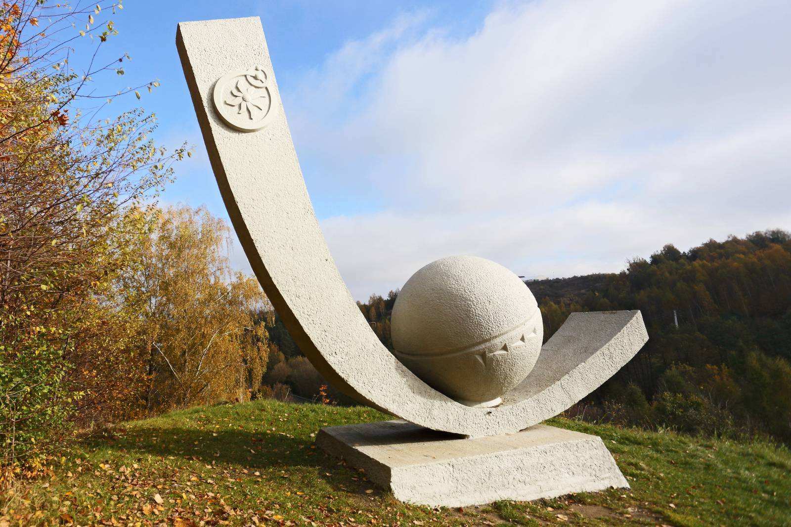
The Copernicus Trail, a nearly 300-kilometer-long route, runs through Warmia and Masuria, commemorating the great astronomer and his ties to the region. During his 40-year stay in Warmia, Copernicus held numerous positions in the service of the Bishop of Warmia and the Warmian Chapter. In this capacity, he lived in several places and undertook many journeys, visiting the towns and villages of the bishopric. The trail is marked with the symbol of an astrolabe.
Abandoned Railroad Tracks at the Border
During the interwar period, Radomno served as the terminal station, as the border between the then Republic of Poland and Prussia ran just beyond it. Out of fear of an attack, the tracks on the German side were dismantled all the way to Iława. They were not rebuilt until the Nazi occupation. Although the railroad line is no longer in operation today, an interesting train station building remains in Radomno. Similar distinctive station buildings, constructed of red brick in the early 20th century, can also be found in Kurzętnik and Bratian.
Drwęca River Nature Reserve
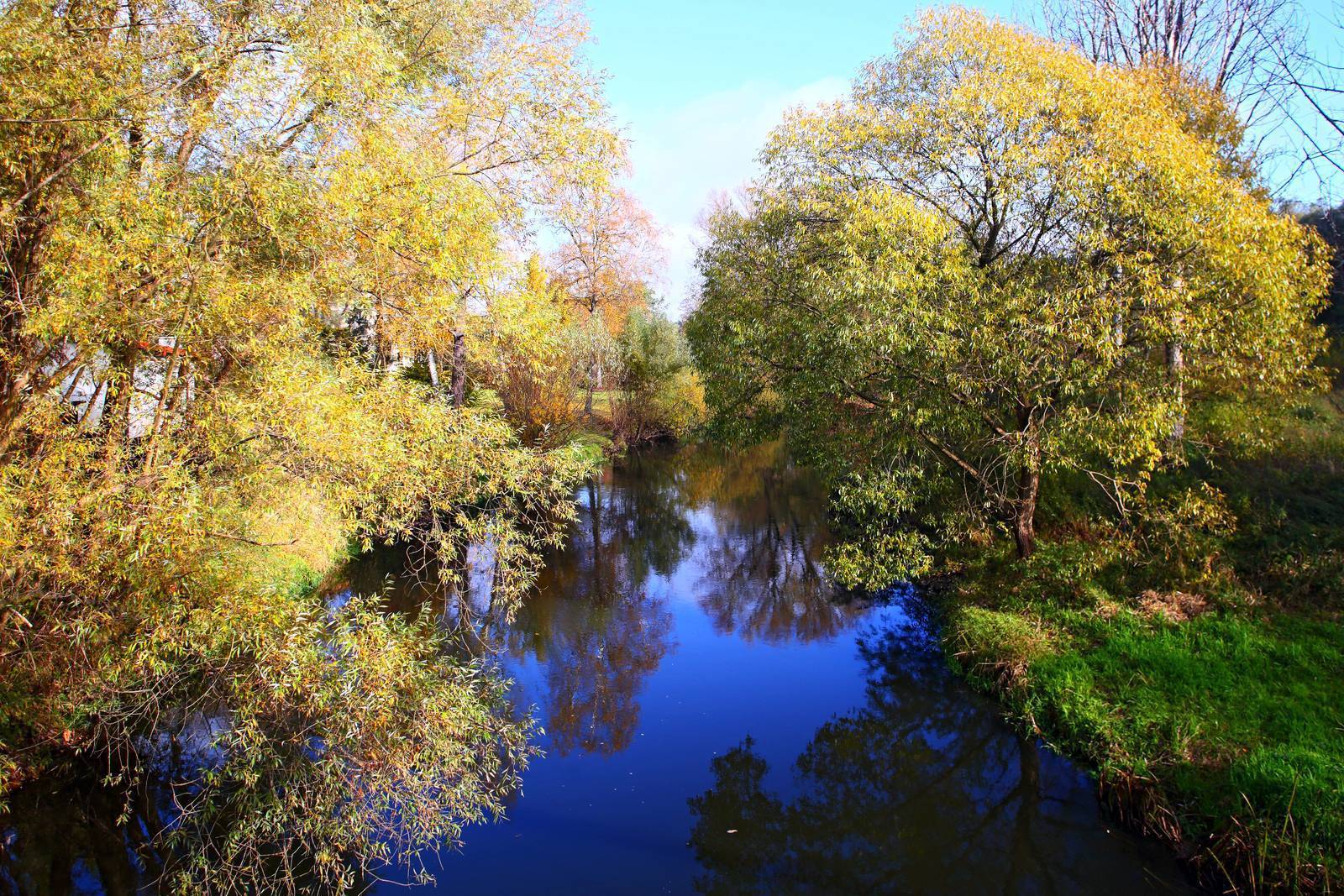
The entire length of the river, along with its surrounding—largely natural—valley, is protected as the Drwęca River Faunal Nature Reserve (the longest in the country) and the Drwęca Valley Natura 2000 Special Area of Conservation. It serves as a valuable ecological corridor between the Vistula River valley and the Masurian Lake District. The river is home to several rare fish species, including Atlantic salmon, white-finned bullhead, and river lamprey. The river’s surroundings are home to a diverse array of animal species, including protected ones. Among others, you can encounter beavers, otters, moose, deer, and birds such as cranes, kingfishers, and marsh harriers. The Drwęca is also an attractive and increasingly popular kayaking route.
Kurzętnik
The castle of the Chełmno Chapter in Kurzętnik was likely built in the first half of the 14th century on a steep hill rising 63 meters above the Drwęca River valley. There used to be a ford across the river in the area, hence the stronghold’s strategic location. It was here that the Grand Master of the Teutonic Order, Ulrich von Jungingen, planned in 1410 to engage in a decisive battle against the Polish King Władysław Jagiełło, who was approaching from the west and would have to cross the river under Teutonic fire. Shortly thereafter, the king defeated the Teutonic Knights at Grunwald. The castle gradually lost its importance and fell into ruin in the second half of the 18th century. Today, only fragments of the walls, towers, and outer bailey remain.
Astronomical Observatory and Monument Dedicated to Copernicus
A small astronomical observatory was established on the castle hill in Kurzętnik. The Nicolaus Copernicus Foundation uses it to promote astronomy and other natural and mathematical sciences, as well as the figure of Nicolaus Copernicus himself, who used to visit the area around Nowe Miasto Lubawskie. A monument dedicated to the astronomer stands on an exposed hillside above National Road DK15. More information about Copernicus and the Copernicus Trail in Warmia and Masuria can be found at www.szlakkopernikowski.pl.
Kurza Góra
Located a few hundred meters north of the castle, Kurza Góra is one of the most attractive downhill skiing destinations outside the mountains in Poland. The total length of the runs here is approximately 2.5 km (these are the longest slopes in the Polish lowlands). Modern snowmaking equipment ensures the resort remains operational even during snowless winters. A wooden observation tower has also been built on Kurza Góra, offering breathtaking panoramic views of the surrounding area. Thanks to 2 km of gently sloping walkways, the tower is accessible to people with disabilities. Exhibits depicting the daily life of Kurzętnik’s residents in the Middle Ages are planned for the walkways. More information about the “Kurza Góra” resort can be found at www.kurzagora.pl.
Nowe Miasto Lubawskie
Nowe Miasto Lubawskie was founded in 1325 by Commander Otto von Lutterberg. Initially, it was part of the Teutonic Order. After the Battle of Grunwald, it changed hands several times before finally becoming part of Poland in 1468. As befits a border town, it was well fortified. Two Gothic towers from the second half of the 14th century—the Brodnicka and Lubawska towers—as well as fragments of the city walls have survived to this day. In 1920, pedestrian passages were cut through the towers, and they continue to serve as gates to this day.
Towering over the town is the imposing Gothic Church of St. Thomas the Apostle, which also dates back to the Middle Ages, having been built in the mid-14th century. The nave, chancel, and the space beneath the organ are adorned with medieval and Baroque paintings. On the altar stands the miraculous statue of Our Lady of Łąkowska, dated 1402, which was moved here from a destroyed monastery in nearby Łąki Bratiańskie. A tombstone of the knight-monk Kunon von Liebenstein, created before 1407, is embedded in a pillar beneath the choir. An interesting detail is the three little dogs playing at the feet of the armed knight. In the center of the market square stands a former Evangelical church in the Classicist style, built in 1912, which currently serves as a cultural center (the Harmonia cinema-theater). Several small townhouses on the market square and in the surrounding streets date back to medieval times.
Bratiańskie Meadows
According to tradition, the origins of Marian devotion in this place date back to the 13th century. Legend has it that a miraculous statue of the Virgin Mary was fished out of the Drwęca River by children, though sources do not specify when this occurred. What is known, however, is that the first wooden chapel was built at the turn of the 14th and 15th centuries. Until 1875, the statue was housed in the 17th-century monastery of the Reformed Friars. People from all over Poland made pilgrimages there, and the site itself earned the nickname “Prussian Częstochowa.” The monastery was closed by the Prussian authorities in 1875 and burned down a few years later. All that remains of it are the entrance gate and a section of the walls. The statue survived and found refuge in the church in the neighboring town of Nowe Miasto Lubawskie. During the annual pilgrimage on September 8, the statue is carried down the Drwęca River from Nowe Miasto Lubawskie to Łąki Bratiańskie.
Bratian
The castle in Bratian was built around the same time as the castle in Kurzętnik, located a few kilometers to the south. Today, almost nothing remains of it. The small brick ruins, located near the intersection of National Road DK15 and the Drwęca River, are overgrown with bushes. Access to them is difficult due to the fences surrounding the local properties and the pooled water near the mill. According to legend, the castles in Bratian and Kurzętnik belonged to two brothers who quarreled and swore an oath never to see each other again on earth. However, thanks to the intervention of a third brother, they reconciled. Not wanting to break the oath they had sworn to each other, they dug a tunnel between the castles and met underground.
Lake Radomno
The lake covers an area of 99 hectares and has an irregular shape, somewhat resembling the letter “Y,” with its left arm being significantly wider than the right and featuring a large forested island rising 20 meters above the water’s surface. Near the fork in the lake’s arms lies the village of Radomno, from which a 200-meter-long pier leads to the Nowy Ostrów peninsula on the opposite shore. Due to frequent maintenance needs, the pier is not always accessible. On the peninsula are the remains of a small early-medieval fortified settlement, surrounded by two rings of ramparts measuring approximately 30 m by 25 m. The lake is shallow, fertile, and has a varied shoreline, making it an attractive spot for anglers. It is designated as a quiet zone, and the use of boats with internal combustion engines is prohibited.