

Charakterystyka trasy

Komentarze
NA TYCH TRASACH PRZYDA CI SIĘ MAPOPRZEWODNIK LUB MAPA Z NASZEJ APLIKACJI

Mapa Wrocławia i okolic na zachodzie sięga po centrum Wrocławia, na wschodzie do Brzegu, południowa granica określona jest przez Wiązów, północna przez Oleśnicę. Jest to obszar ograniczony współrzędnymi 17°04’ - 17°30’ długości geograficznej wschodniej oraz 50°49’-51°14’ szerokości geograficznej północnej. Mapa aktualizowana w terenie, zawiera długości szlaków pieszych i rowerowych, nazwy ulic, rodzaje nawierzchni dróg, zabytki. Tak dokładnej mapy turystycznej tego obszaru jeszcze nie było!
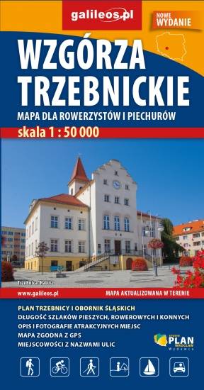
Mapa "Wzgórza Trzebnickie" obejmuje obszar od Wrocławia do Żmigrodu oraz od Brzegu Dolnego do Oleśnicy. Jest to obszar ograniczony współrzędnymi 16°41’ - 17°22’ długości geograficznej wschodniej oraz 51°09’-51°26’ szerokości geograficznej północnej. Na mapie zaznaczono wszystkie informacje potrzebne turyście oraz każdej osobie poruszającej się wg tej mapy. W miejscowościach opisano nazwy ulic . Są tu przebiegi wszystkich szlaków pieszych, rowerowych, kajakowych, konnych, opisano na nich odległości - co pozwoli zaplanować wycieczkę. Miejsca szczególnie warte odwiedzenia zaznaczono żółta ramką. Ukształtowanie terenu pokazano przy pomocy warstwic z cięciem co 5 m.
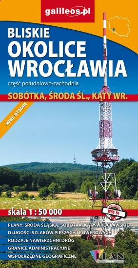
Mapa Wrocławia i okolic na wschodzie sięga po centrum Wrocławia, na zachodzie do Środy Śląskiej, południowa granica określona jest przez wsie Słupice, Kełczyn, Oleszna, Radzików, północna przez Ligotę Piękną, Gosławice i Brodno. Jest to obszar ograniczony współrzędnymi 16°33’ - 17°01’ długości geograficznej wschodniej oraz 50°49’-51°14’ szerokości geograficznej północnej. Mapa obejmuje swym zasięgiem Park Krajobrazowy Doliny Bystrzycy, Ślężański Park Krajobrazowy oraz Zbiornik Mietkowski. Mapa aktualizowana w terenie, zawiera długości szlaków pieszych i rowerowych, nazwy ulic, rodzaje nawierzchni dróg, zabytki. Tak dokładnej mapy turystycznej tego obszaru jeszcze nie było!
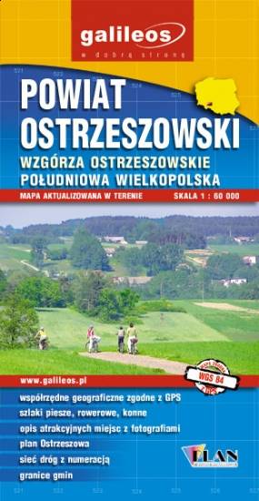
Mapa turystyczna Powiatu Ostrzeszowskiego, zawiera sieć dróg z numeracją, granice gmin.Na mapie zaznaczono informacje przydatne turyście, jak zabytki, noclegi, granice obszarów chronionych. W miejscowościach opisano nazwy ulic. Podano przebiegi szlaków pieszych i rowerowych. Ukształtowanie terenu pokazano przy pomocy warstwic o cięciu co 10 m.