category-icon

Z Gliwic na zachód...

101 km
6 h 31 min
397 m
393 m
Sosnowiec
Photo 1
Photo 2
Photo 3
Photo 4
Photo 5
Photo 6

Route characteristics

2019-10-19
Sosnowiec
category-icon
Trip length:
101 km
Total ascent:
397 m
Total descent:
393 m
Average time needed to complete the route:
6 h 31 min
Route rating:
5.4/6
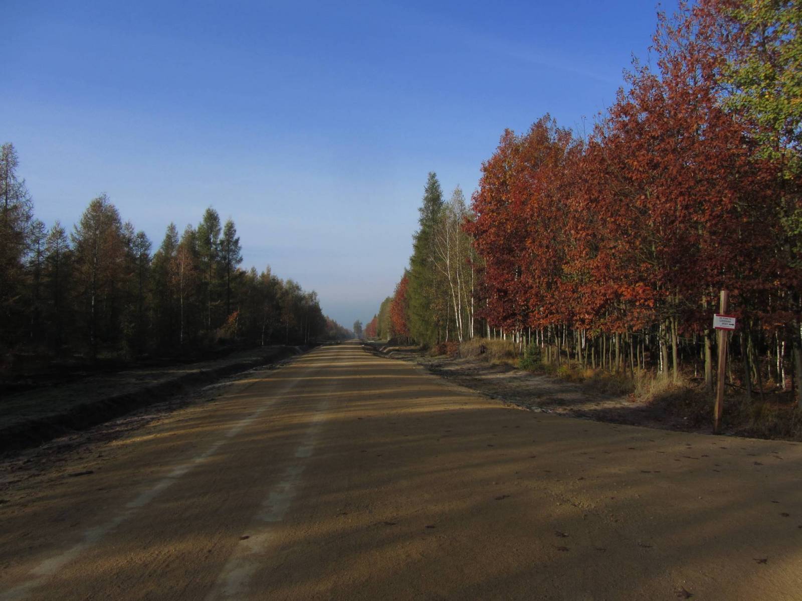
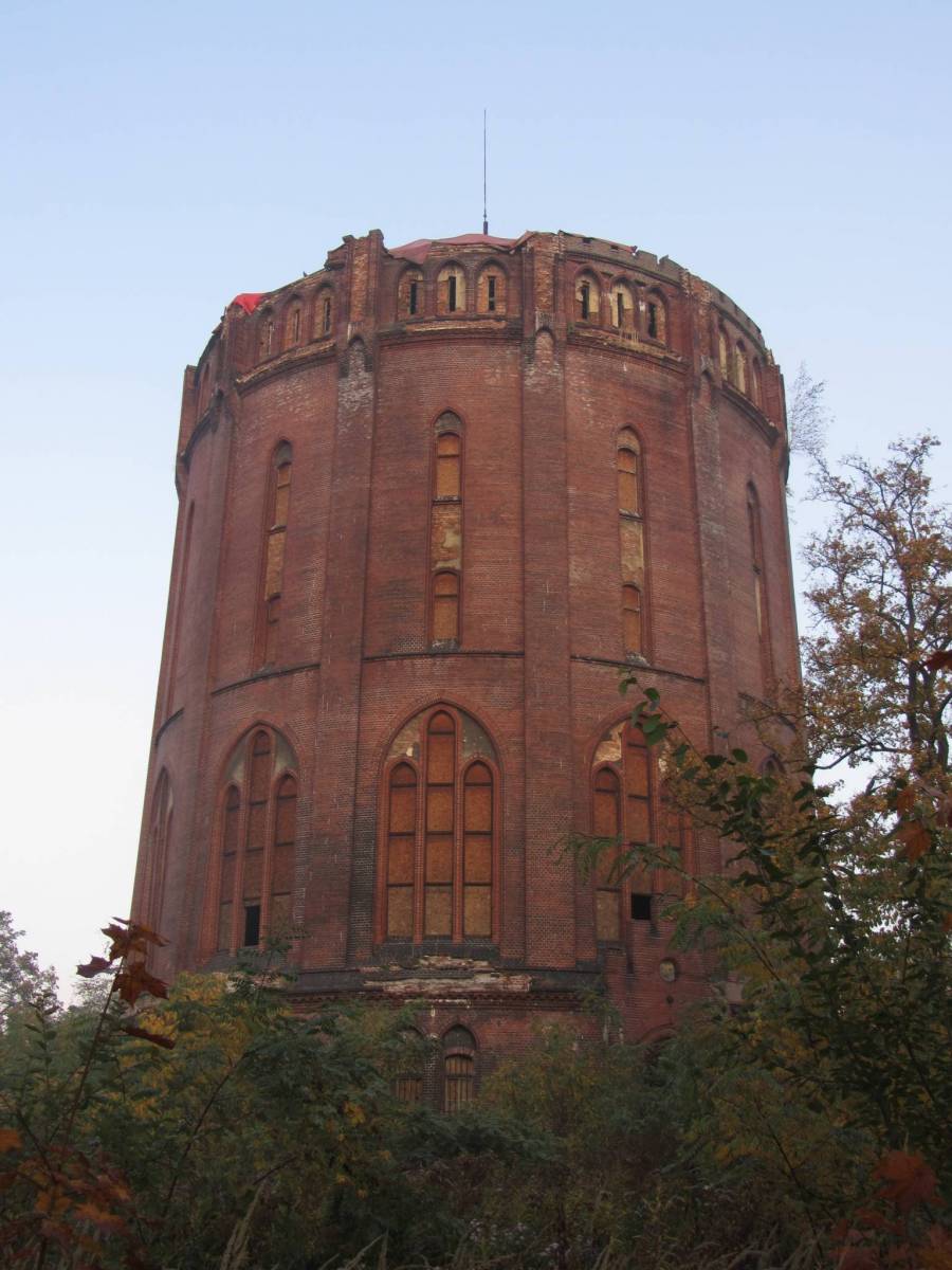
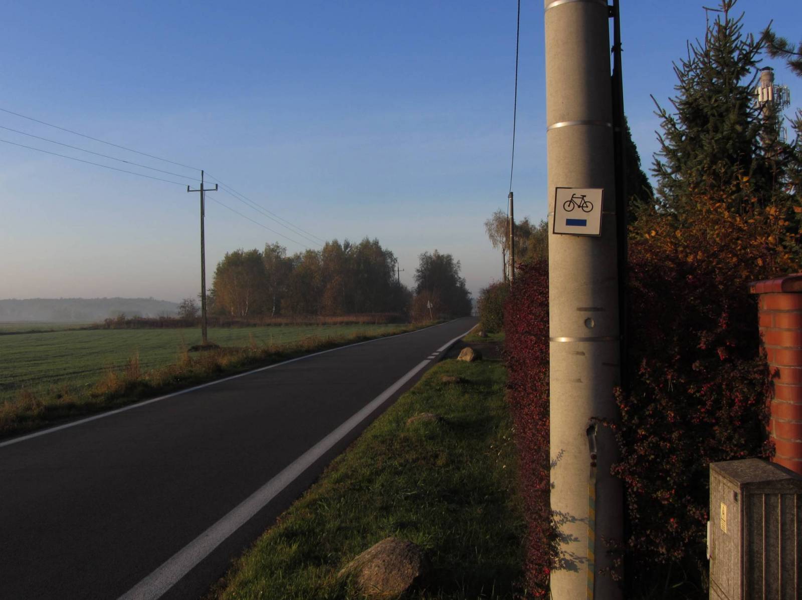
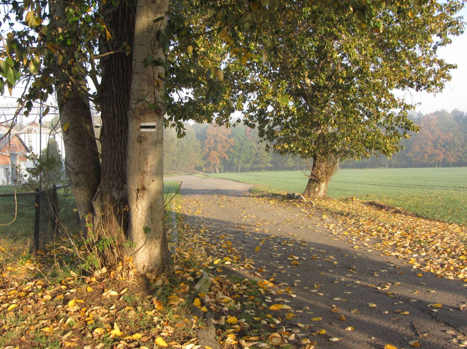
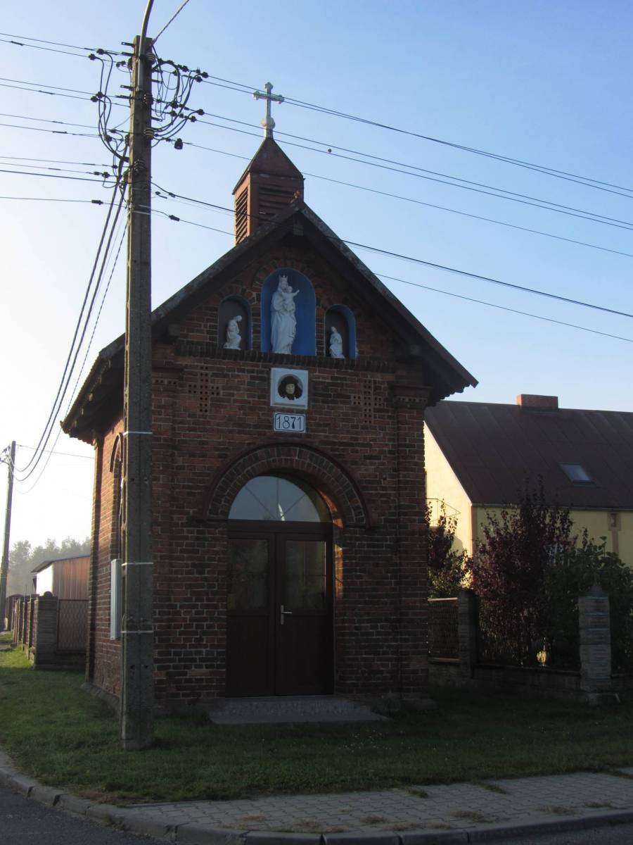
Wycieczka czysto rekreacyjna po lasach :-) - przepiękne kolory.Wycieczka głównie po szlakach pieszych i rowerowych. Start z Gliwic czerwonym szlakiem do Żernicy następnie w miejscowości Trachy napotkamy czarny turystyczny, który doprowadzi nas do żółtego pieszego w okolicach Sierakowiczki. W miejscowości Łącza odnajdziemy szlak czarny turystyczny i dotrzemy do Starej Kuźni - tam możemy obejrzeć wieżę widokową wraz z przyległymi budynkami. Stąd ruszamy w lasy aż dotrzemy do Rudzińca - stary pałac oraz pozostałości po parku pałacowym. Za wiaduktem kolejowym w Rudzińcu skręcamy w prawo i trzymamy się żółtego szlaku rowerowego, który doprowadzi nas do Pławniowic. Tutaj zmieniamy na szlak czarny rowerowy i wten sposób okrążamy jezioro w Pławniowicach. Po wschodniej części jeziora odnajdziemy żółty szlak rowerowy, którym dojedziemy do Taciszowa. Stąd lasami dotrzemy ponownie do punktu startu. 62% traski to bezdroża.

Comments

ON THESE ROUTES YOU WILL NEED A MAP GUIDE OR A MAP FROM OUR APP

Gliwice Area
TOURIST MAP IN THE TRASEO APP
Gliwice Area
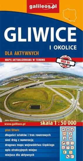
The map covers part of the Silesian Voivodeship in southern Poland: Gliwice city and its surroundings. Lot of information useful for tourists is marked on the map: monuments, accomodation facilities, protected areas, cycling and walking trails. The most interesting places are highlighted with a yellow frame.
Racibórz County
TOURIST MAP IN THE TRASEO APP
Racibórz County

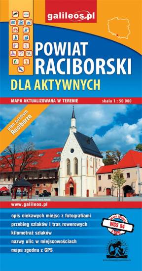
The map presents the Racibórz County in the Upper Silesia region, Poland. It is comprised of five municipalities: Racibórz, Kornowac, Nędza, Kuźnia Raciborska, Rudnik, Pietrowice Wielkie, Krzanowice, Krzyżanowice. The most interesting places are highlighted with a yellow frame. Cycling, walking and didactic trails are marked on the map.

Rybnik Region
TOURIST MAP IN THE TRASEO APP
Rybnik Region

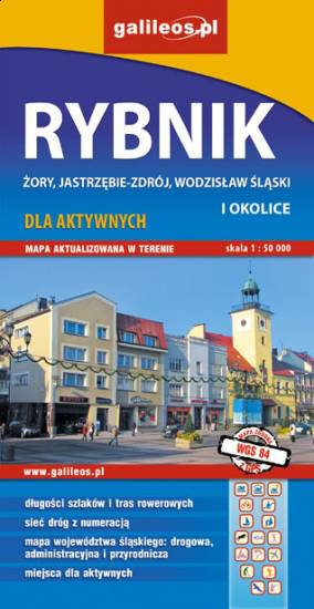
The map range: Żory in Poland to the east, Karviná in Czech Republic to the south, Wodzisław Śląski (Poland) and Ostrava suburbs (Czech Republic) to the west, and Gliwice suburbs (Poland) to the north. Tourist attractions, cycling and walking trails, boundaries of protected areas, as well as accomodation facilities are marked on the map.

Upper Silesian Metropolitan Area
TOURIST MAP IN THE TRASEO APP
Upper Silesian Metropolitan Area
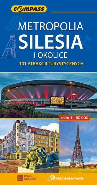
The map in detailed scale presents part of Upper Silesia - historical and geographical region situated in southern Poland. The Upper Silesian metropolitan area lies within the Upper Silesian Coal Basin. It is characterized by a rich tradition of folklore, many industrial monuments, and some green areas. Cycling, walking and didactic trails are marked on the map, as well as other interesting information, e.g. historical borders of Polnad - from 1914 and 1939. The map range: Tarnowskie Góry to the north, Tychy to the south, Gliwice to the west and Jaworzno to the east.
Góra Świętej Anny
TOURIST MAP IN THE TRASEO APP
Góra Świętej Anny

Obszar naniesiony na mapę Góry Świętej Anny przedstawia dużo większy obszar niż jej tytuł, ograniczona jest miejscowościami: Strzeleczki, Walce, Kędzierzyn-Koźle, Toszek i Opole. Na mapie zaznaczono: szlaki piesze oraz rowerowe (mają podane długości). Są tu również szlaki konne i kajakowe. Dzięki informacjom zawartym na mapie planowanie wycieczki z jakiejkolwiek formy turystyki staje się proste.
Euroregion Pradziad
TOURIST MAP IN THE TRASEO APP
Euroregion Pradziad

The tourist map of the Pradziad Euroregion covers the area of the Polish-Czech border region: the Opolskie voivodeship on the Polish side and the Jeseník and Bruntál regions on the Czech side. A specially developed cartographic base contains necessary information for active tourism in the cross-border region: hiking trails, horse riding trails, cycle routes and others.

The map was produced under the project "E-bike modern tourism" co-financed by the European Regional Development Fund and the state budget. "We cross borders".


Towns on the route