


Piotr Kołodziejczykmagik_kapela
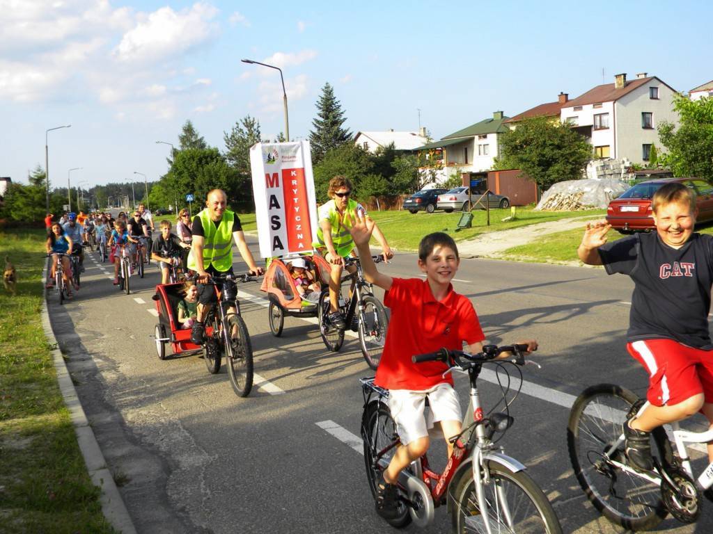
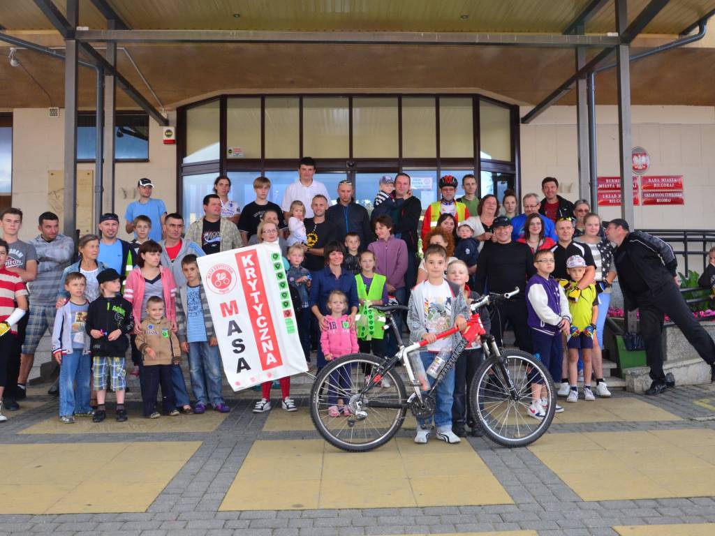
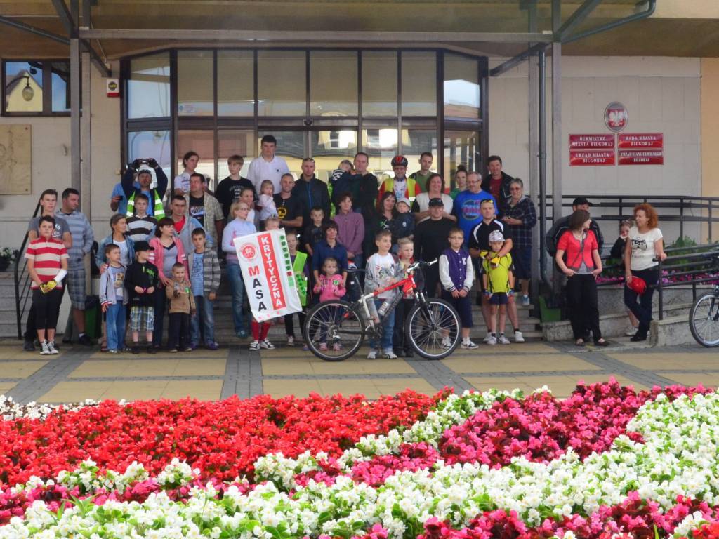
Charakterystyka trasy
2013-07-26
Polska, lubelskie, Biłgoraj

Długość trasy:
11 kmSuma przewyższeń:
10 mSuma spadków:
10 mOcena trasy:
1.9/6Komentarze
NA TYCH TRASACH PRZYDA CI SIĘ MAPOPRZEWODNIK LUB MAPA Z NASZEJ APLIKACJI
MAPA TURYSTYCZNA W APLIKACJI TRASEO
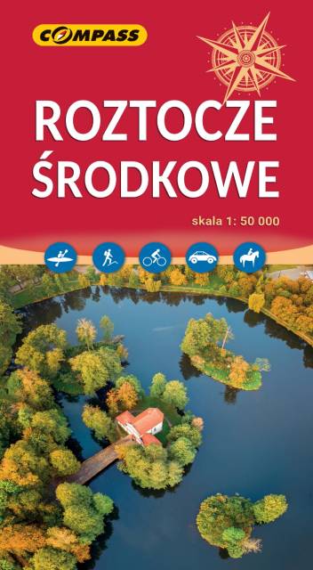
Roztocze
Mapa turystyczna Roztocza prezentuje uroki wschodniego zakątka Polski. Roztocze jest terenem wyżynnym, o silnym zalesieniu, poprzecinanym malowniczymi rzekami. Na obszarze tym położony jest Roztoczański Park Krajobrazowy oraz wiele miast o wysokiej atrakcyjności turystycznej, m.in. Zamość, Józefów, Tomaszów Lubelski. Mapa Roztocza przedstawia szlaki, zabytki, informacje ważne dla turystów. Rok wydania 2023