


Charakterystyka trasy

Komentarze
NA TYCH TRASACH PRZYDA CI SIĘ MAPOPRZEWODNIK LUB MAPA Z NASZEJ APLIKACJI
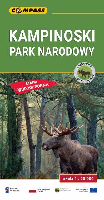
Mapa Kampinoskiego Parku Narodowego obejmuje cały obszar Parku (wraz z enklawami) oraz tereny przyległe. Zasięg mapy od północy ogranicza dolina Wisły, od zachodu Bzura, a od wschodu aglomeracja warszawska. Zasięg mapy wyznaczają: Nowy Dwór Mazowiecki na północy, Sochaczew na zachodzie, Pruszków na południu i Warszawa oraz Legionowo na wschodzie. Wydanie: 2024


Mapa "Pojezierze Powidzkie" obejmuje powiat słupecki i okolice, wraz z Powidzkim i Nadwarciańskim Parkiem Krajobrazowym oraz przepięknym opactwem cysterskim w Lądzie. Zaznaczono na niej informacje przydatne turyście, oraz podano przebiegi szlaków pieszych i rowerowych.

Mapa powiatu kaliskiego ze wszystkimi potrzebnymi turyście informacjami. Zaznaczono szlak kulinarny Kaliskie Smaki, szlak Kościołów Drewnianych Ziemi Kaliskiej i szlaki Dębów i Paproci oraz wszystkie inne szlaki turystyczne i rowerowe.
Rok wydania: 2017