


Tadeusz Nowińskipanaszonik
Charakterystyka trasy
2017-07-26
Polska, łódzkie, Łódź

Długość trasy:
233 kmSuma przewyższeń:
461 mSuma spadków:
461 mŚredni czas potrzebny na pokonanie trasy:
14 h 31 minOcena trasy:
1.3/6Komentarze
NA TYCH TRASACH PRZYDA CI SIĘ MAPOPRZEWODNIK LUB MAPA Z NASZEJ APLIKACJI
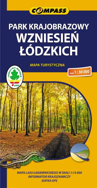
MAPA TURYSTYCZNA W APLIKACJI TRASEO
Łódź Hills Landscape Park
Łódź Hills Landscape Park is a protected area in central Poland, established in 1996, covering an area of 137.67 square kilometres (53.15 sq mi). The Park lies within Łódź Voivodeship: in Brzeziny County (Gmina Brzeziny, Gmina Dmosin), Łódź East County (Gmina Nowosolna) and Zgierz County (Gmina Stryków, Gmina Zgierz). Within the Landscape Park are three nature reserves.
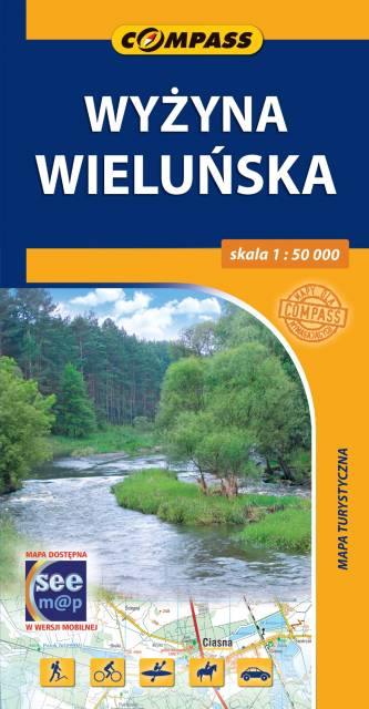
MAPA TURYSTYCZNA W APLIKACJI TRASEO
Wieluń Highland
The map presents part of Polish Jurassic Highland in southern Poland, from the town of Wieluń to the city of Częstochowa. Map range: Osjaków to the north, Radłów to the west, Lubliniec to the south and Częstochowa to the east. Walking, cycling and canoeing trails are marked on the map.
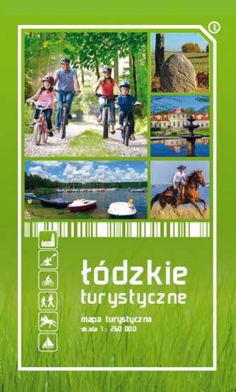
MAPA TURYSTYCZNA W APLIKACJI TRASEO
Województwo Łódzkie
Mapa województwa łódzkiego, na której zaznaczono miejscowości, drogi, tereny leśne, parki krajobrazowe, zabytki, kościoły, zabytki, ośrodki aktywności konnej i wodnej oraz główne szlaki rowerowe. Kolorem żółtym wyróżniono miejsca i miejscowości warte odwiedzenia.