
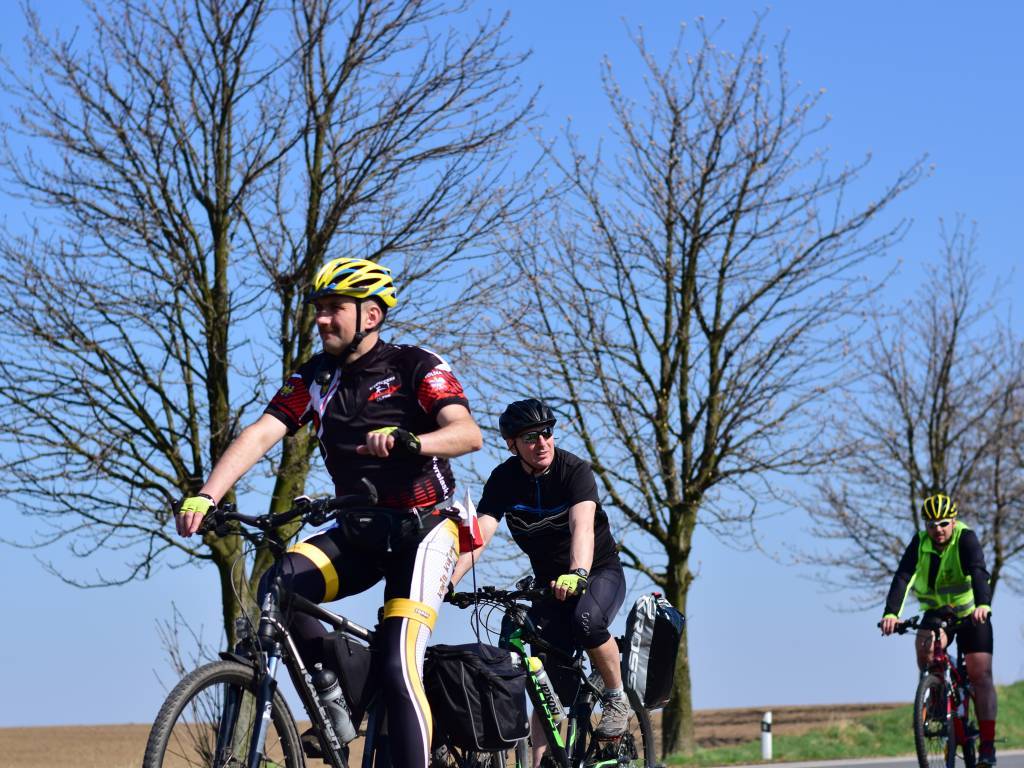


Charakterystyka trasy

Komentarze
NA TYCH TRASACH PRZYDA CI SIĘ MAPOPRZEWODNIK LUB MAPA Z NASZEJ APLIKACJI
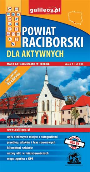
Mapa Raciborza i okolic obejmuje obszar, w skład którego wchodzą gminy: Racibórz, Kornowac, Nędza, Kuźnia Raciborska, Rudnik, Pietrowice Wielkie, Krzanowice, Krzyżanowice. Szczególnie atrakcyjne miejsca zaznaczono żółtą ramką. Podano aktualne przebiegi szlaków pieszych, rowerowych i dydaktycznych, łącznie z kilometrażem.
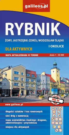
Mapa Rybnika i okolic obejmuje Żory, Jastrzębie-Zdrój, Rybnik i Wodzisław Śląski. Zaznaczono na niej informacje przydatne turyście, jak zabytki, noclegi, granice obszarów chronionych. W miejscowościach opisano nazwy głównych ulic. Podano aktualne przebiegi szlaków pieszych i rowerowych.
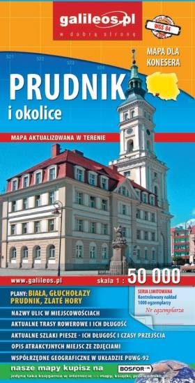
Mapa Prudnika i okolic obejmuje obszar od Nysy i Krapkowic do Głuchołaz i Města Albrechtickiego. Naniesiono wszystkie trasy rowerowe, szlaki piesze i konne. Podano ich długość a przy szlakach pieszych również czasy przejść. We wszystkich miejscowościach podano nazwy ulic. Na mapie użyta jest siatka geograficzna, opisana co 1 minutę (szerokość geograficzna) i 2 minuty (długość geograficzna). W formie drukowanej mapa wydana została w nakładzie 1000 egzemplarzy jako limitowana seria.