


Andrzej | アンドレイandrzej.aa
Charakterystyka trasy
2014-08-02
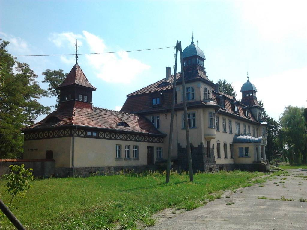
Witkowo

Długość trasy:
157 kmSuma przewyższeń:
159 mSuma spadków:
155 mŚredni czas potrzebny na pokonanie trasy:
9 h 6 minOcena trasy:
3.9/6Komentarze
NA TYCH TRASACH PRZYDA CI SIĘ MAPOPRZEWODNIK LUB MAPA Z NASZEJ APLIKACJI


MAPA TURYSTYCZNA W APLIKACJI TRASEO
Pojezierze Powidzkie
Mapa "Pojezierze Powidzkie" obejmuje powiat słupecki i okolice, wraz z Powidzkim i Nadwarciańskim Parkiem Krajobrazowym oraz przepięknym opactwem cysterskim w Lądzie. Zaznaczono na niej informacje przydatne turyście, oraz podano przebiegi szlaków pieszych i rowerowych.

MAPA TURYSTYCZNA W APLIKACJI TRASEO
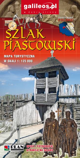
Szlak Piastowski
Mapa turystyczna Szlaku Piastowskiego, który przebiega przez województwa: wielkopolskie i kujawsko-pomorskie. Mapa została zaktualizowana w terenie, zostały na niej uwzględnione wszelkie niezbędne informacje turystyczno-krajoznawcze oraz informacje praktyczne. Rok Wydania 2017