

Charakterystyka trasy

Komentarze
NA TYCH TRASACH PRZYDA CI SIĘ MAPOPRZEWODNIK LUB MAPA Z NASZEJ APLIKACJI
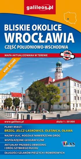
Mapa Wrocławia i okolic na zachodzie sięga po centrum Wrocławia, na wschodzie do Brzegu, południowa granica określona jest przez Wiązów, północna przez Oleśnicę. Jest to obszar ograniczony współrzędnymi 17°04’ - 17°30’ długości geograficznej wschodniej oraz 50°49’-51°14’ szerokości geograficznej północnej. Mapa aktualizowana w terenie, zawiera długości szlaków pieszych i rowerowych, nazwy ulic, rodzaje nawierzchni dróg, zabytki. Tak dokładnej mapy turystycznej tego obszaru jeszcze nie było!
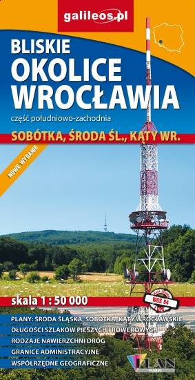
Mapa Wrocławia i okolic na wschodzie sięga po centrum Wrocławia, na zachodzie do Środy Śląskiej, południowa granica określona jest przez wsie Słupice, Kełczyn, Oleszna, Radzików, północna przez Ligotę Piękną, Gosławice i Brodno. Jest to obszar ograniczony współrzędnymi 16°33’ - 17°01’ długości geograficznej wschodniej oraz 50°49’-51°14’ szerokości geograficznej północnej. Mapa obejmuje swym zasięgiem Park Krajobrazowy Doliny Bystrzycy, Ślężański Park Krajobrazowy oraz Zbiornik Mietkowski. Mapa aktualizowana w terenie, zawiera długości szlaków pieszych i rowerowych, nazwy ulic, rodzaje nawierzchni dróg, zabytki. Tak dokładnej mapy turystycznej tego obszaru jeszcze nie było!
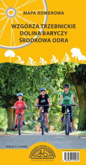
Mapa obejmuje obszar Dolnośląskiej Krainy Rowerowej, czyli obszar pow. górowskiego, pow. trzebnickiego, pow. milickiego oraz gmin: Wołów, Twardogóra i Dobroszyce. Zaznaczono tu wszystkie szlaki piesze, rowerowe, konne i kajakowe oraz ścieżki przyrodnicze i edukacyjne. Szczególnie zostały uwypuklone drogi rowerowe istniejące, w budowie i planowane. Mapa zawiera atrakcje turystyczne, przyrodnicze i bazę noclegową. Dodatkowo zostały zaznaczone miejsca przyjazne rowerzystom. Część opisowa zilustrowana fotografiami, obejmuje obszar mapy w podziale na regiony, wybrane szlaki rowerowe oraz krótką charakterystykę miejsc przyjaznych rowerzystom.
Mapa turystyczna Euroregionu Pradziad obejmuje obszar pogranicza polsko-czeskiego: po polskiej stronie województwo opolskie a po czeskiej okresy Jesenik i Bruntal. Specjalnie opracowany podkład kartograficzny zawiera niezbędne informacje do uprawiania aktywnej turystyki w transgranicznym regionie: szlaki piesze, konne, trasy rowerowe oraz inne ważne elementy infrastruktury turystycznej.
Mapa została wykonana w ramach projektu „E-bike nowoczesna turystyka” współfinansowanego ze środków Europejskiego Funduszu Rozwoju Regionalnego oraz ze środków budżetu państwa. „Przekraczamy granice”.
Turistická mapa Euroregionu Praděd zahrnuje území česko-polského příhraničí: na české straně okresy Jeseník a Bruntál, na polské straně Opolské vojvodství. Speciálně zpracovaný kartografický podklad obsahuje nezbytné informace pro aktivní turistiku v přeshraniční oblasti: pěší, jezdecké, cyklistické stezky a další významné objekty infrastruktury cestovního ruchu.
Mapa byla zpracována v rámci projektu „E-bike moderní turistika" spolufinancovaného z prostředků Evropského fondu pro regionální rozvoj a ze státního rozpočtu. „Překračujeme hranice".
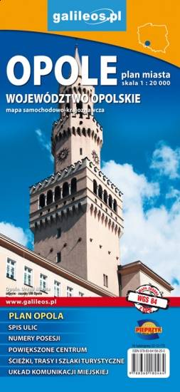
Mapa Opola i okolic obejmuje obszar województwa w skali 1:190 000. Mapa zawiera aktualny przebieg dróg wraz z numeracją, odległości drogowe, granice powiatów i gmin ponadto stacje paliw, hotele, parkingi, zabytki, zaznaczono wszystkie miejscowości. Mapa oprócz województwa obejmuje też pogranicze i obszar Wrocławia. Na obu mapach wkreślono współrzędne geograficzne zgodne z GPS. Opracowanie obejmuje także plan Opola w skali 1:20 000, widoczny po odpowiednim zbliżeniu.